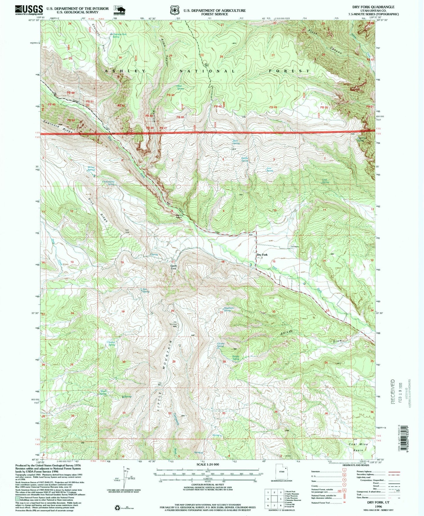
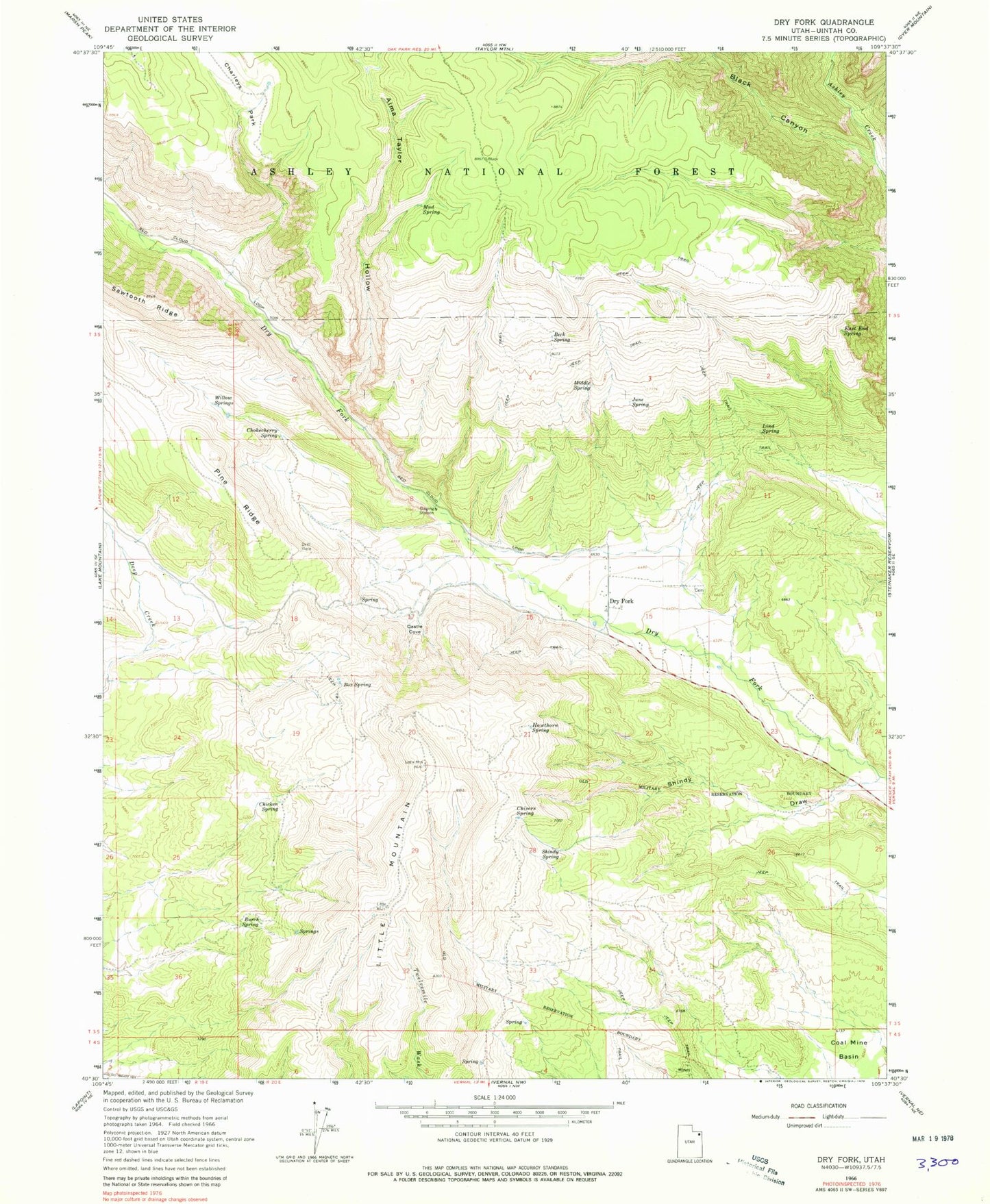
MyTopo
Classic USGS Dry Fork Utah 7.5'x7.5' Topo Map
Couldn't load pickup availability
Historical USGS topographic quad map of Dry Fork in the state of Utah. Map scale may vary for some years, but is generally around 1:24,000. Print size is approximately 24" x 27"
This quadrangle is in the following counties: Uintah.
The map contains contour lines, roads, rivers, towns, and lakes. Printed on high-quality waterproof paper with UV fade-resistant inks, and shipped rolled.
Contains the following named places: Alma Taylor Hollow, Beck Spring, Black Canyon, Black Canyon Creek, Box Spring, Burch Spring, Castle Cove, Charleys Park, Charleys Park Spring, Chicken Spring, Chivers Spring, Chokecherry Spring, Dry Fork, Dry Fork Cemetery, Dry Fork Picnic Site, East End Spring, Hawthorn Spring, June Spring, Lind Spring, Little Mountain, Little Mountain Overlook, Middle Spring, Mud Spring, Pine Ridge, Pine Ridge Picnic Site, Shindy Draw, Shindy Hollow Picnic Site, Shindy Spring, Willow Springs