MyTopo
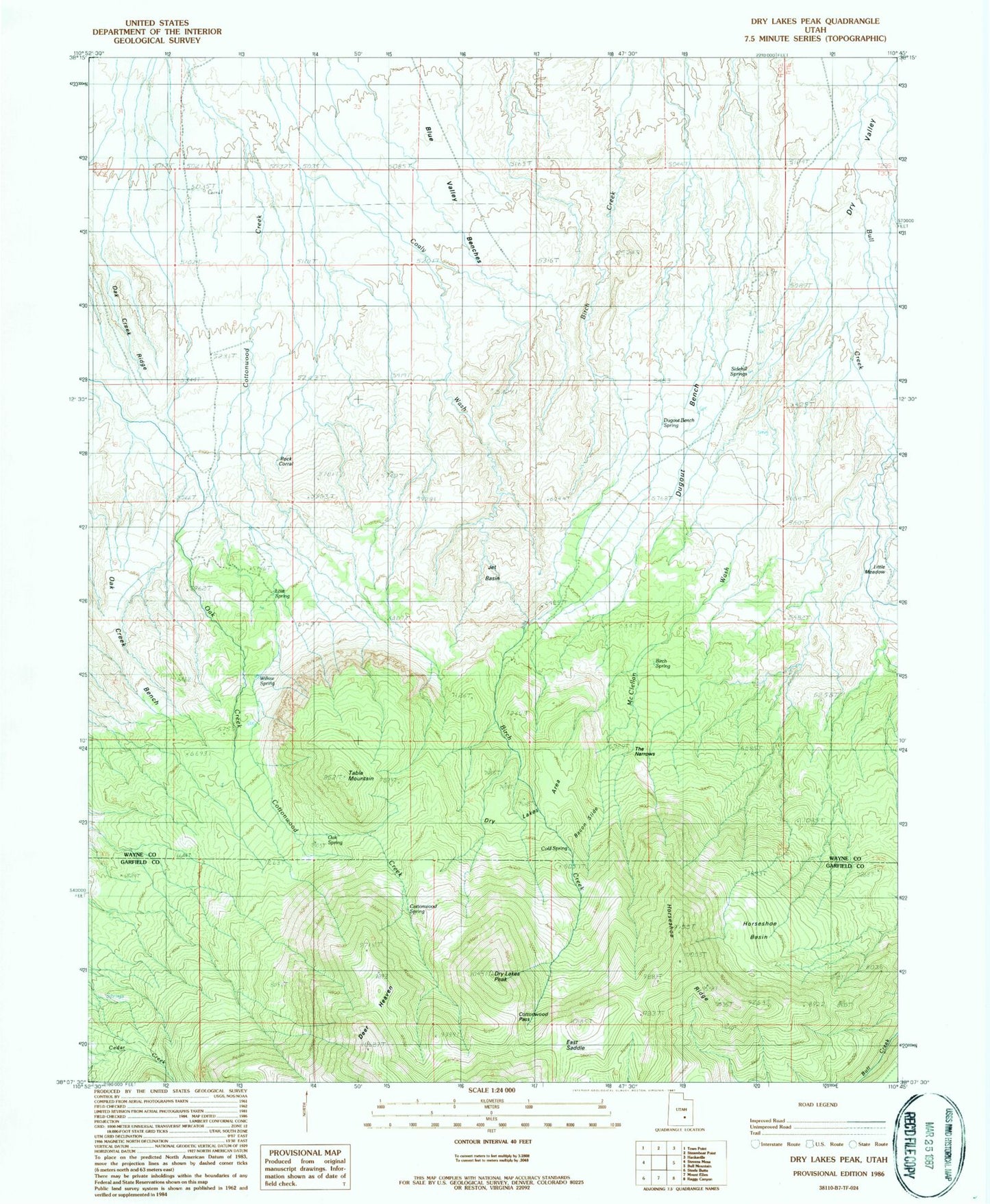
Classic USGS Dry Lakes Peak Utah 7.5'x7.5' Topo Map
Couldn't load pickup availability
Historical USGS topographic quad map of Dry Lakes Peak in the state of Utah. Map scale may vary for some years, but is generally around 1:24,000. Print size is approximately 24" x 27"
This quadrangle is in the following counties: Garfield, Wayne.
The map contains contour lines, roads, rivers, towns, and lakes. Printed on high-quality waterproof paper with UV fade-resistant inks, and shipped rolled.
Contains the following named places: Bacon Slide, Birch Spring, Cold Spring, Cottonwood Pass, Cottonwood Spring, Deer Heaven, Dry Lakes Area, Dry Lakes Peak, Dugout Bench, Dugout Bench Spring, East Saddle, Horseshoe Basin, Horseshoe Ridge, Jet Basin, Little Meadow, Lost Spring, McClellan Wash, Oak Creek Bench, Oak Spring, Rock Corral, Side Hill Springs, Table Mountain, The Narrows, Willow Spring