MyTopo
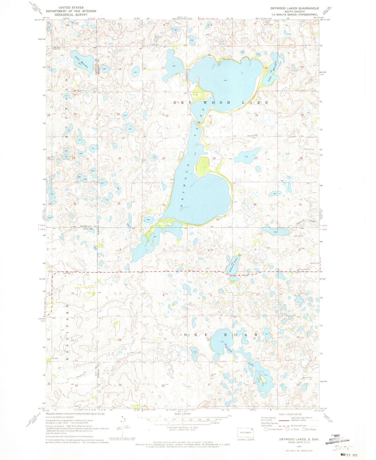
Classic USGS Drywood Lakes South Dakota 7.5'x7.5' Topo Map
Couldn't load pickup availability
Historical USGS topographic quad map of Drywood Lakes in the state of South Dakota. Map scale may vary for some years, but is generally around 1:24,000. Print size is approximately 24" x 27"
This quadrangle is in the following counties: Day, Marshall, Roberts.
The map contains contour lines, roads, rivers, towns, and lakes. Printed on high-quality waterproof paper with UV fade-resistant inks, and shipped rolled.
Contains the following named places: Bethel Cemetery, Buffalo Lake Lutheran Cemetery, Drywood Lakes, Lake Martha, Lake View Farm, Lake Whipple, One Road School, Oneroad Bethel Church, Oneroad Lake, Roberts County Waterfowl Production Area, Tahana Lake, Township of Dry Wood Lake, Township of One Road, Zoar Lutheran Church Cemetery, Zoark Church