MyTopo
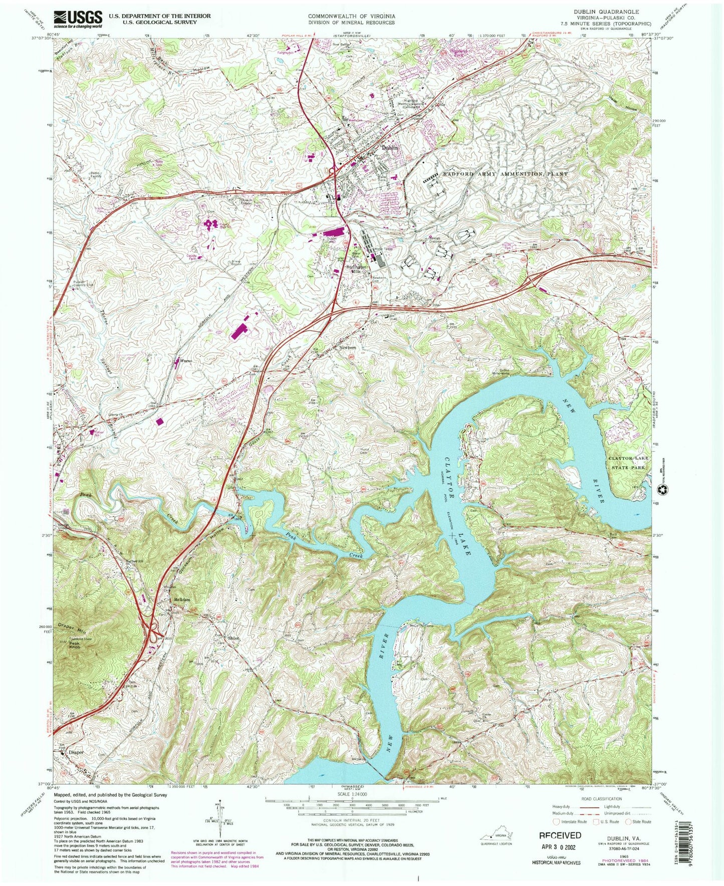
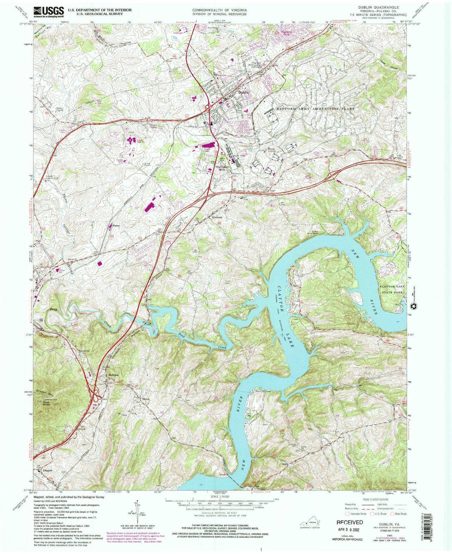
Classic USGS Dublin Virginia 7.5'x7.5' Topo Map
Couldn't load pickup availability
Historical USGS topographic quad map of Dublin in the state of Virginia. Typical map scale is 1:24,000, but may vary for certain years, if available. Print size: 24" x 27"
This quadrangle is in the following counties: Pulaski.
The map contains contour lines, roads, rivers, towns, and lakes. Printed on high-quality waterproof paper with UV fade-resistant inks, and shipped rolled.
Contains the following named places: Burlington Mills, Byrd Cemetery, Cecil Cemetery, Cecils Church, Claytor Lake State Park, Dublin Cemetery, Goose Creek, Highland Memory Gardens, Hurst Cemetery, Liberty Church, McCarthy Camp, New Dublin Church, Newbern Cemetery, Oppossum Hollow, Peak Knob, Rhoades Cemetery, Stafford Hill Church, Draper, Peak Creek, Thorne Springs Branch, Dublin Waterworks, Pulaski Country Club, Draper Mountain, Dublin, McAdam, Newbern, Wurno, Shiloh, WBKW-FM (Dublin), WPSK-FM (Pulaski), Cecil Chapel Cemetery, Cecils Chapel School (historical), Clapboard Creek, Critzer Elementary School, Dobson Stadium, Draper Elementary School (historical), Dublin Elementary School, Dublin Middle School, Dublin Park, Free Memorial Library, Highland Park, Linkous Ferry (historical), New Dublin Cemetery, New River Community College, New River Valley Fairgrounds, Newbern Elementary School, Newbern Historic District, Pulaski County, Pulaski County Corporate Center, Pulaski County High School, Shiloh Cemetery, Shiloh School (historical), Claytor Lake, Newbern Christian Church, Shiloh Christian Church, Draper District, Ingles District, Regional Emergency Medical Services Station 1, Draper Volunteer Fire Department, Dublin Volunteer Fire Department, Newbern Volunteer Fire Department, Dublin Police Department, Town of Dublin, Southwest Virginia Governor's School, Draper Census Designated Place, Allison's Greenhouse, Holston River Quarries, Draper Post Office, Newbern Post Office, Virginia State Police Division 4 Area 24 Office, Southwest Virginia Veterans Cemetery, Dublin Post Office


