MyTopo
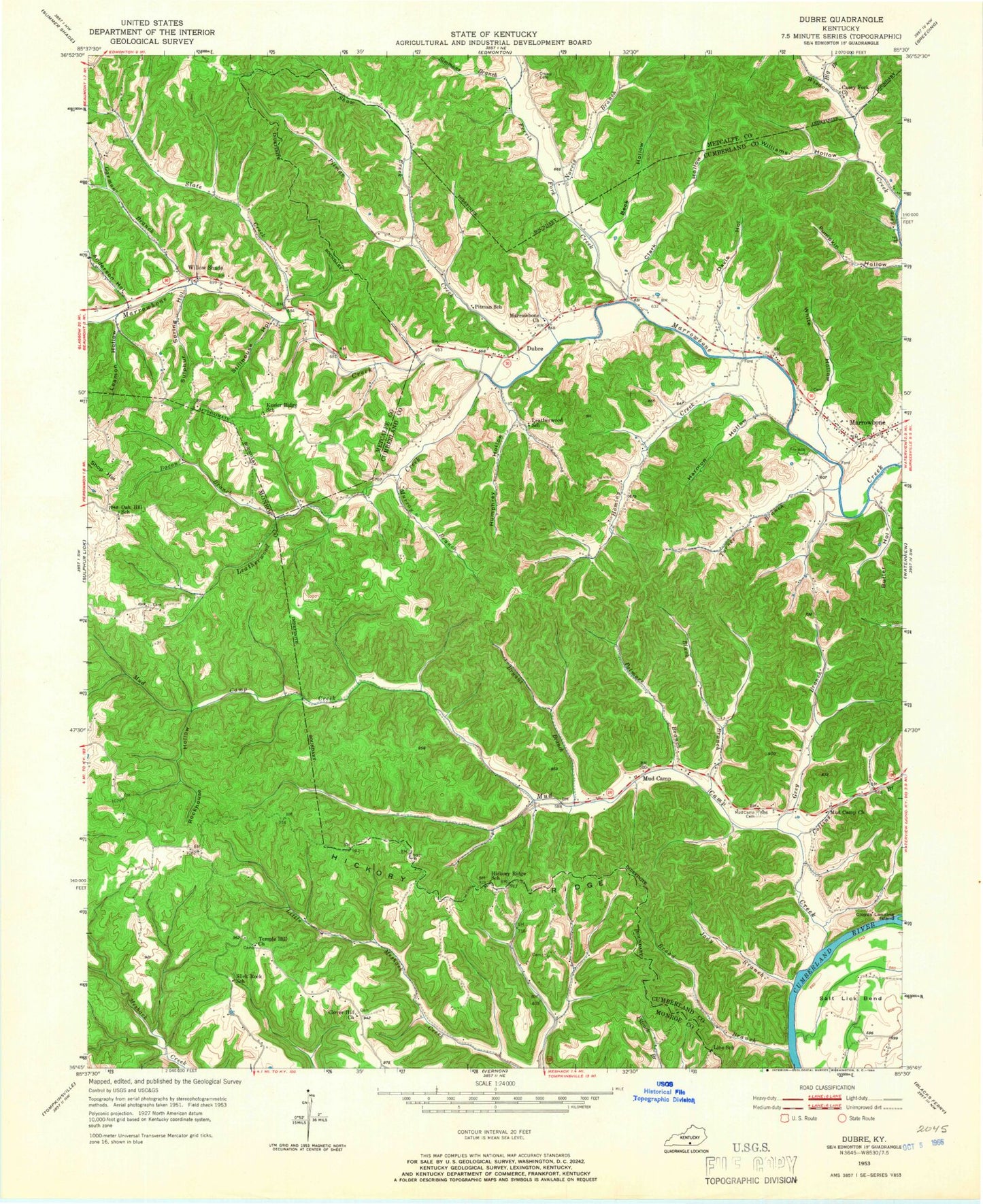
Classic USGS Dubre Kentucky 7.5'x7.5' Topo Map
Couldn't load pickup availability
Historical USGS topographic quad map of Dubre in the state of Kentucky. Map scale may vary for some years, but is generally around 1:24,000. Print size is approximately 24" x 27"
This quadrangle is in the following counties: Cumberland, Metcalfe, Monroe.
The map contains contour lines, roads, rivers, towns, and lakes. Printed on high-quality waterproof paper with UV fade-resistant inks, and shipped rolled.
Contains the following named places: Anderson Hollow, Bacon Branch, Beck Hollow, Big Branch, Black Branch, Bob Hollow, Broad Branch, Bryant Branch, Butler Hollow, Casey Fork Church, Clark Hollow, Clover Hill Church, Collins Branch, Creasy Cemetery, Davis Hollow, Dubre, Ferris Fork Creek, Franklin Cemetery, Garmon Branch, Grey Branch, Harmon Hollow, Hickory Ridge, Hickory Ridge School, Hominy Creek, Humphrey Hollow, Jody Branch, Kessler Ridge School, Leamon Hollow, Leatherwood Creek, Leatherwood School, Line School, Marrowbone, Marrowbone Baptist Church, Marrowbone Census Designated Place, Marrowbone Post Office, Marrowbone West Cumberland Fire Department, Mud Camp, Mud Camp Bar, Mud Camp Cemetery, Mud Camp Church of Christ, Mud Camp Creek, Murray Branch, Norris Branch, Oak Hill School, Palmore Branch, Pitman Creek, Pitman School, Rockhouse Hollow, Shaw Creek, Simmons Branch, Slate Creek, Slick Rock School, Stillhouse Hollow, Sulphur Spring Hollow, Temple Hill Church, Turner Branch, White Hollow, Williams Hollow, Willow Shade, Wisdom Creek, ZIP Code: 42731


