MyTopo
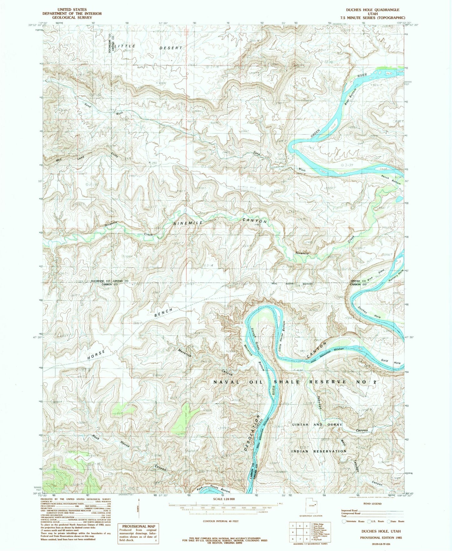
Classic USGS Duches Hole Utah 7.5'x7.5' Topo Map
Couldn't load pickup availability
Historical USGS topographic quad map of Duches Hole in the state of Utah. Map scale may vary for some years, but is generally around 1:24,000. Print size is approximately 24" x 27"
This quadrangle is in the following counties: Carbon, Duchesne, Uintah.
The map contains contour lines, roads, rivers, towns, and lakes. Printed on high-quality waterproof paper with UV fade-resistant inks, and shipped rolled.
Contains the following named places: Blue Stem, Boat Bottom, Desolation Canyon Historical Landmark, Duches Hole, Gold Hole, Horse Bench, Little Horse Bottom, Maverick Bottom, Maverick Canyon, Nine Mile Creek, Ninemile Canyon, Sand Wash, Sand Wash Airport, Sand Wash Ferry, Sand Wash River Ranger Station and Put In Site, Slough Grass, Tabyago Canyon, West Tabyago Canyon