MyTopo
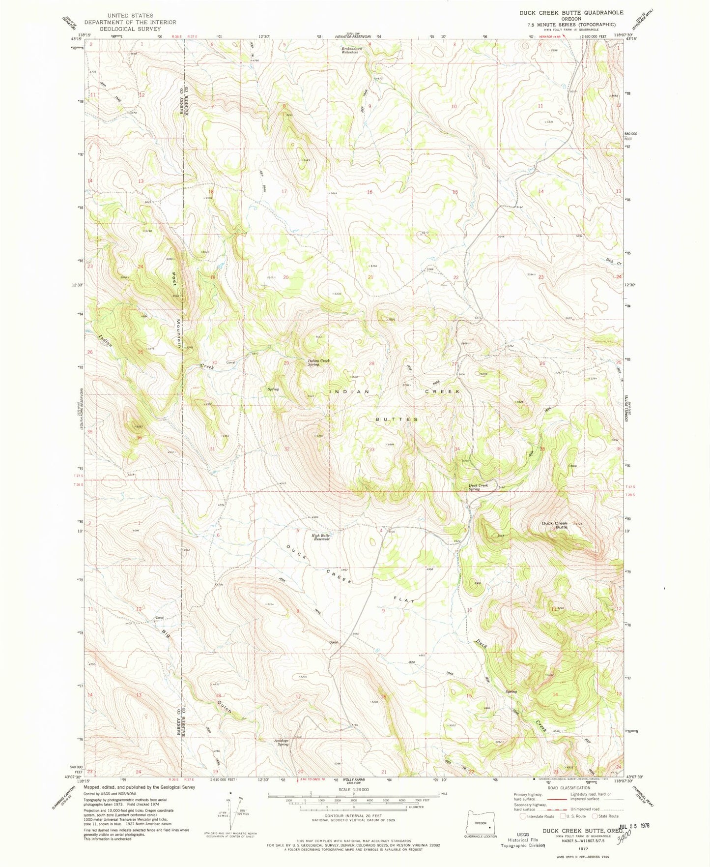
Classic USGS Duck Creek Butte Oregon 7.5'x7.5' Topo Map
Couldn't load pickup availability
Historical USGS topographic quad map of Duck Creek Butte in the state of Oregon. Map scale may vary for some years, but is generally around 1:24,000. Print size is approximately 24" x 27"
This quadrangle is in the following counties: Harney, Malheur.
The map contains contour lines, roads, rivers, towns, and lakes. Printed on high-quality waterproof paper with UV fade-resistant inks, and shipped rolled.
Contains the following named places: Antelope Spring, B V Reservoir, Big Gulch Reservoir, Brokendown Waterhole, Deadman Creek Reservoir Number One, Deadman Creek Reservoir Number Three, Deadman Creek Reservoir Number Two, Duck Creek Butte, Duck Creek Flat, Duck Creek Spring, Goose Reservoir, High Butte Reservoir, Indian Creek Buttes, Indian Creek Spring, Little Flat, Little Flat Reservoir, Mustang Reservoir, Post Camp Reservoir, Post Mountain, Rocky Reservoir, South Indian Reservoir, Twin Buttes Reservoir, Venator Reservoir Five