MyTopo
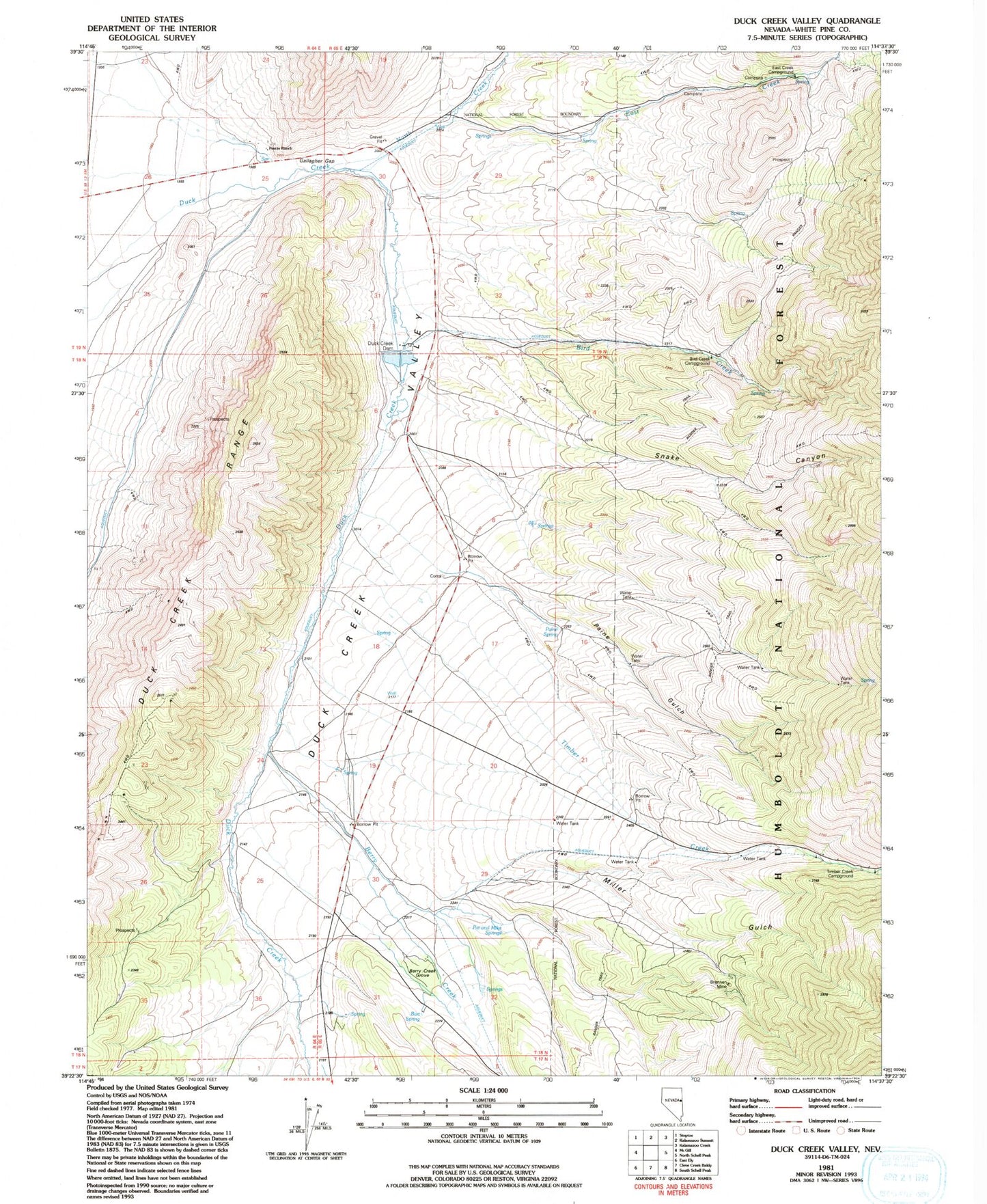
Classic USGS Duck Creek Valley Nevada 7.5'x7.5' Topo Map
Couldn't load pickup availability
Historical USGS topographic quad map of Duck Creek Valley in the state of Nevada. Map scale may vary for some years, but is generally around 1:24,000. Print size is approximately 24" x 27"
This quadrangle is in the following counties: White Pine.
The map contains contour lines, roads, rivers, towns, and lakes. Printed on high-quality waterproof paper with UV fade-resistant inks, and shipped rolled.
Contains the following named places: Bart Spring, Berry Creek, Berry Creek Grove, Bird Creek, Bird Creek Campground, Brennen Mine, Duck Creek Dam, Duck Creek Fish Hatchery, Duck Creek Post Office, Duck Creek Reservoir, Duck Creek Valley, East Creek, East Creek Campground, Ely Gibralter Mine, Gallagher Gap, Hornbek Ranch, Kent, Kent Post Office, Miller Creek, Miller Gulch, North Creek, Paine Gulch, Paine Spring, Pat and Mike Springs, Pescio Ranch, Providence Mine, Ranger Trail, Snake Canyon, Timber Creek, Timber Creek Campground