
MyTopo
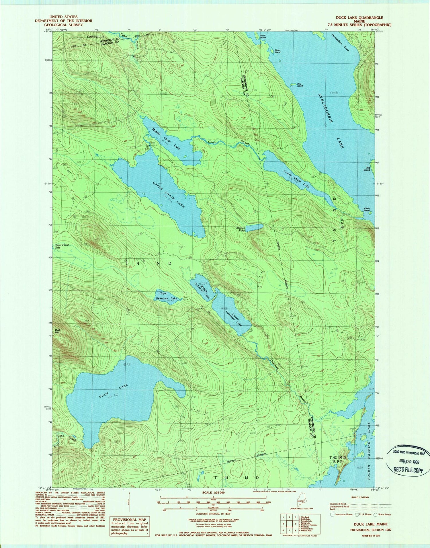
Classic USGS Duck Lake Maine 7.5'x7.5' Topo Map
Couldn't load pickup availability
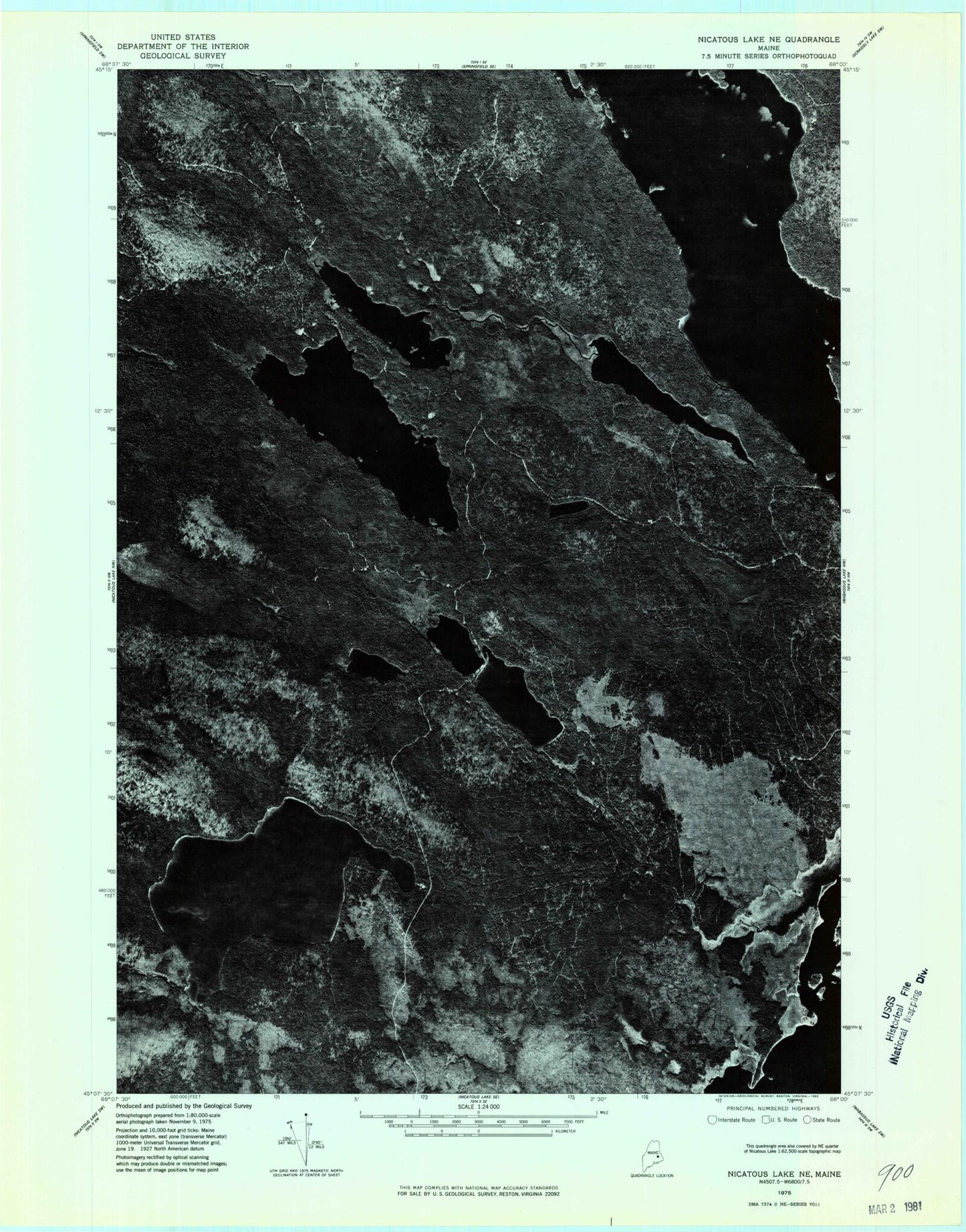
Historical USGS topographic quad map of Duck Lake in the state of Maine. Map scale may vary for some years, but is generally around 1:24,000. Print size is approximately 24" x 27"
This quadrangle is in the following counties: Hancock, Penobscot, Washington.
The map contains contour lines, roads, rivers, towns, and lakes. Printed on high-quality waterproof paper with UV fade-resistant inks, and shipped rolled.
Contains the following named places: Birch Island, Chain Island, Chain Stream, Duck Lake, Explorers Club, Horseshoe Cove, Lower Chain Lake, Lower Unknown Lake, Middle Chain Lake, Middle Unknown Lake, Number Six Camp, Number Two Camp, Oqiton Township, Pine Island, Selmore Pond, Sysladobsis Lake, Upper Chain Lake, Upper Taylor Brook, Upper Unknown Lake