MyTopo
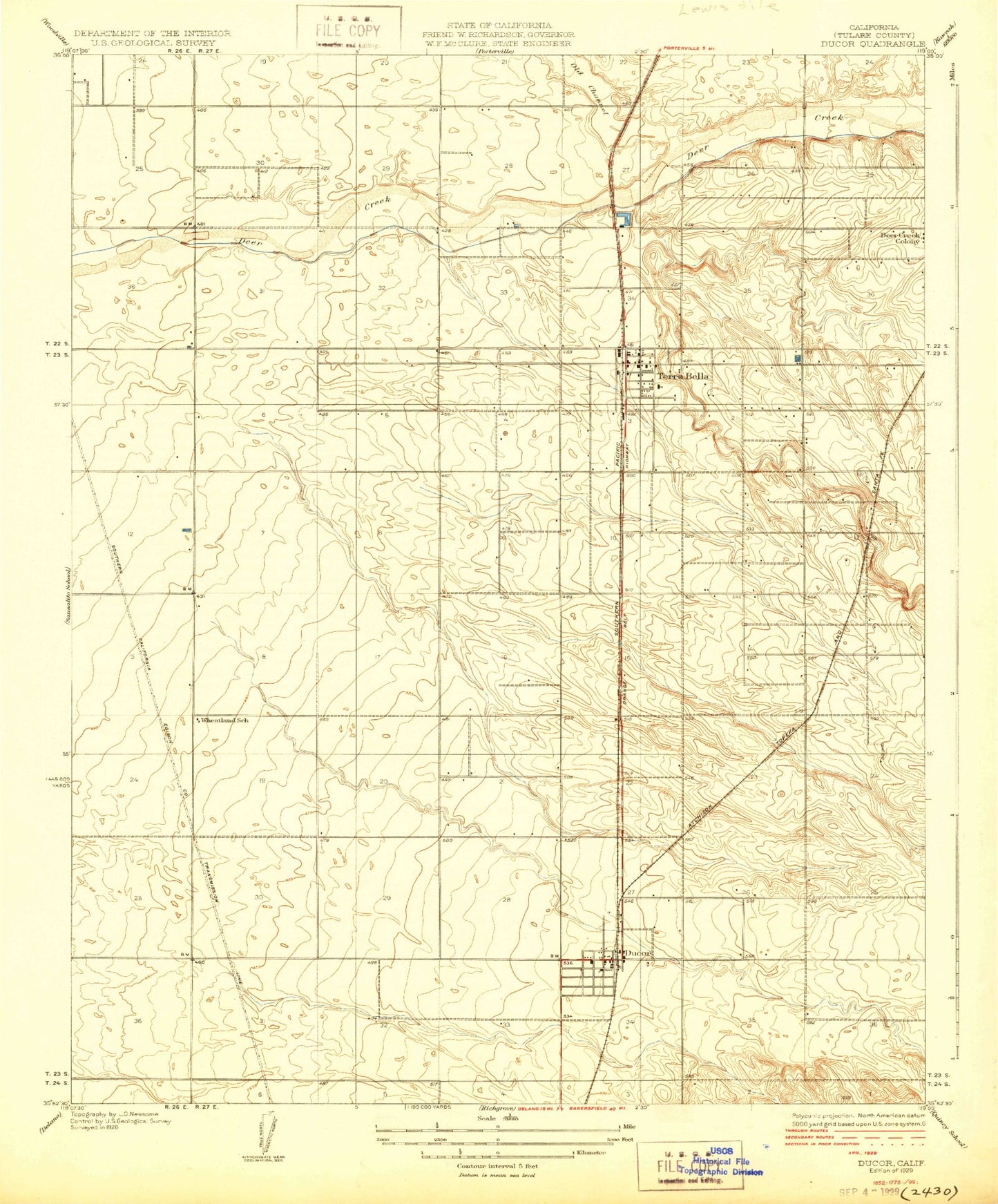
Classic USGS Ducor California 7.5'x7.5' Topo Map
Couldn't load pickup availability
Historical USGS topographic quad map of Ducor in the state of California. Map scale may vary for some years, but is generally around 1:24,000. Print size is approximately 24" x 27"
This quadrangle is in the following counties: Tulare.
The map contains contour lines, roads, rivers, towns, and lakes. Printed on high-quality waterproof paper with UV fade-resistant inks, and shipped rolled.
Contains the following named places: Braly Ranch, Deer Creek Colony, Deer Creek Ditch, Ducor, Ducor Census Designated Place, Ducor Post Office, Ducor Union Elementary School, Elmco, First Assembly of God Church, Fountain Springs Gulch, Hasting Ranch, Hunsaker Ranch, Jesucristo el Rey de Gloria, Menne Ranch, Pentecostal Church of God, Terra Bella, Terra Bella Branch Tulare County Library, Terra Bella Census Designated Place, Terra Bella Elementary School, Terra Bella Post Office, Tulare County Fire Department Battalion 2 Ducor Fire Station 17, Tulare County Fire Department Battalion 2 Terra Bella Fire Station 21, Tulare County Sheriff's Office - Terra Bella Substation, Wheatland School, Zion Lutheran Church, ZIP Code: 93270