MyTopo
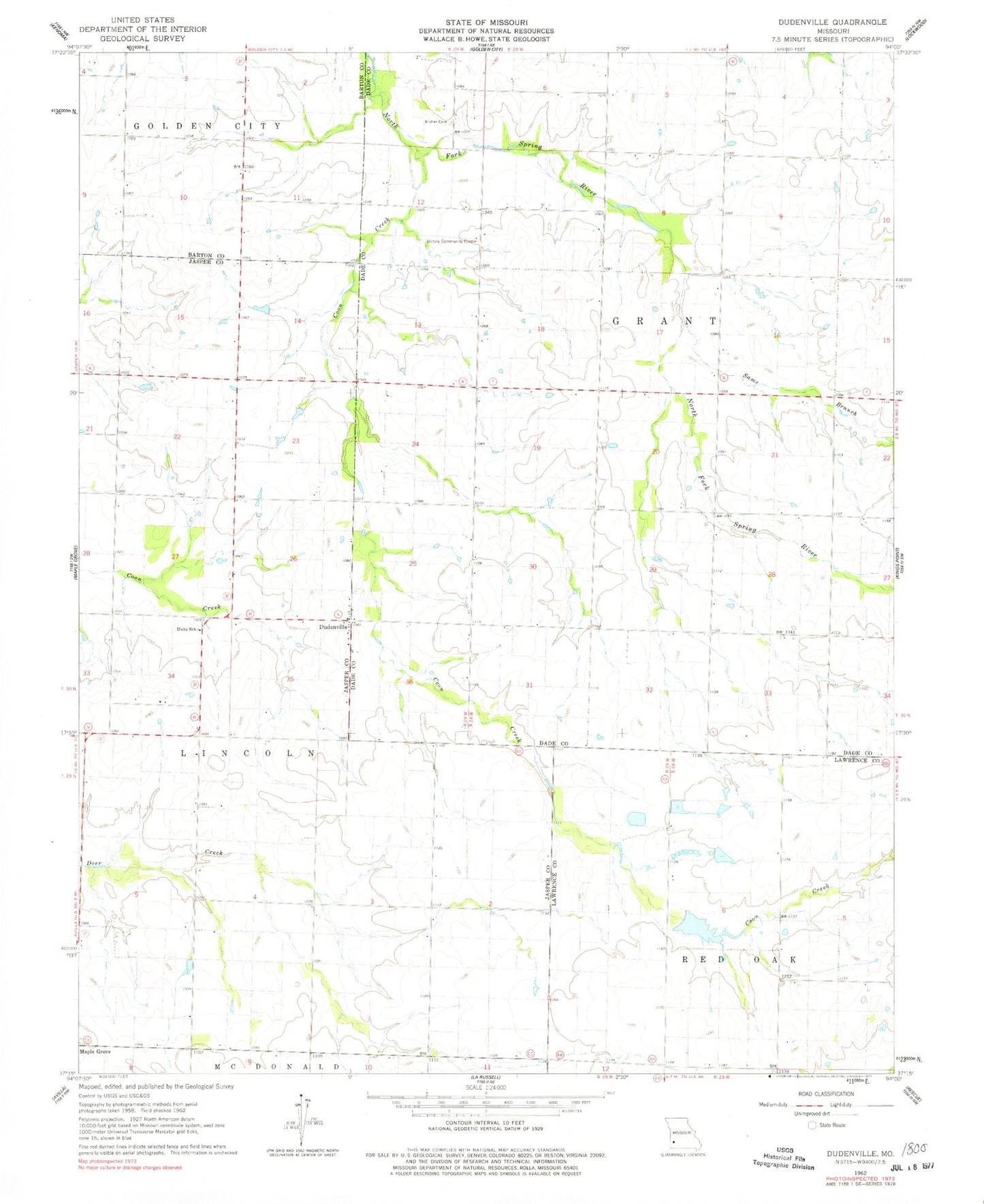
Classic USGS Dudenville Missouri 7.5'x7.5' Topo Map
Couldn't load pickup availability
Historical USGS topographic quad map of Dudenville in the state of Missouri. Map scale may vary for some years, but is generally around 1:24,000. Print size is approximately 24" x 27"
This quadrangle is in the following counties: Barton, Dade, Jasper, Lawrence.
The map contains contour lines, roads, rivers, towns, and lakes. Printed on high-quality waterproof paper with UV fade-resistant inks, and shipped rolled.
Contains the following named places: Ackley School, Bowman School, Coon Creek, Davis Lake Dam, Dudenville, Fairview School, Harlan Stump Dam, Kistler Cemetery, Leaming Field, Number 71 Lake, Pleasant View School, Poirot Farms Incorporated Dam, Poirot Farms Lake, Poirot Lake Dam Shallow Dam, Prairie Home School, Pyle Lake Dam, Sams Branch, Schilling Lake, Schilling Lake Dam, Sharon School, Snowflake School, Townley Lake, Townley Lake Dam, Township of Grant, Township of Lincoln, Unity School, Victory Community Center, ZIP Code: 64748