MyTopo
Classic USGS Dufur East Oregon 7.5'x7.5' Topo Map
Couldn't load pickup availability
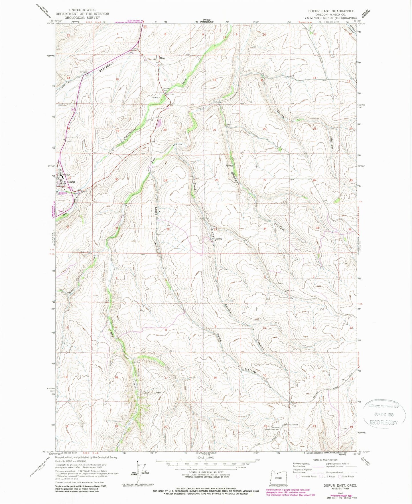
Historical USGS topographic quad map of Dufur East in the state of Oregon. Map scale may vary for some years, but is generally around 1:24,000. Print size is approximately 24" x 27"
This quadrangle is in the following counties: Wasco.
The map contains contour lines, roads, rivers, towns, and lakes. Printed on high-quality waterproof paper with UV fade-resistant inks, and shipped rolled.
Contains the following named places: Boyd, Boyd Post Office, Dufur School, Dufur School Community Library, Dufur Sewage Treatment Plant, Easton Canyon, Independent Order of Odd Fellows Cemetery, Long Hollow, Mays Canyon Creek, Nansene, Nansene Community Hall, Nansene Post Office, Pine Creek, Shotgun Hollow, Starveout, Starveout Creek, Stubb Hollow, Wasco Post Office