MyTopo
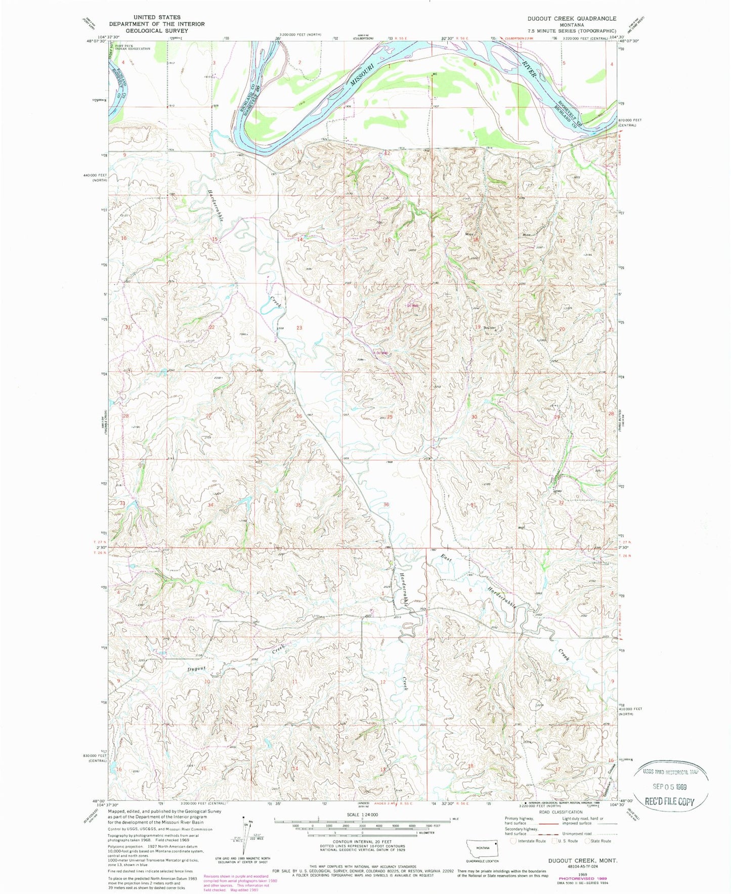
Classic USGS Dugout Creek Montana 7.5'x7.5' Topo Map
Couldn't load pickup availability
Historical USGS topographic quad map of Dugout Creek in the state of Montana. Map scale may vary for some years, but is generally around 1:24,000. Print size is approximately 24" x 27"
This quadrangle is in the following counties: Richland, Roosevelt.
The map contains contour lines, roads, rivers, towns, and lakes. Printed on high-quality waterproof paper with UV fade-resistant inks, and shipped rolled.
Contains the following named places: 27N55E03DB__01 Well, 27N55E03DB__02 Well, 27N55E09AD__01 Well, 27N55E10BB__01 Well, 27N55E10BB__02 Well, 27N55E10BC__01 Well, 27N55E11AA__01 Well, 27N55E12BB__01 Well, 27N55E12BC__01 Well, 27N55E12BD__01 Well, 27N55E15AC__01 Well, 27N55E15BB__01 Well, 27N55E15DC__01 Well, 27N55E21BA__01 Well, 27N55E21BA__02 Well, 27N55E22AABC01 Well, 27N55E23BB__01 Well, 27N55E23BB__02 Well, 27N55E23DBCA01 Well, 27N55E23DD__01 Well, 27N55E26BB__01 Well, 27N55E26BB__02 Well, 27N55E26BDAD01 Well, 27N55E26CA__01 Well, 27N55E26CA__02 Well, 27N55E26CA__03 Well, 27N56E05CA__01 Well, 27N56E06CC__01 Well, 27N56E06CC__02 Well, 27N56E07ACBC01 Well, 27N56E32CCBA01 Well, 59218, Corvette Dam, Dugout Creek, East Hardscrabble Creek, Garden Coulee, Hardscrabble Creek, Riverview School