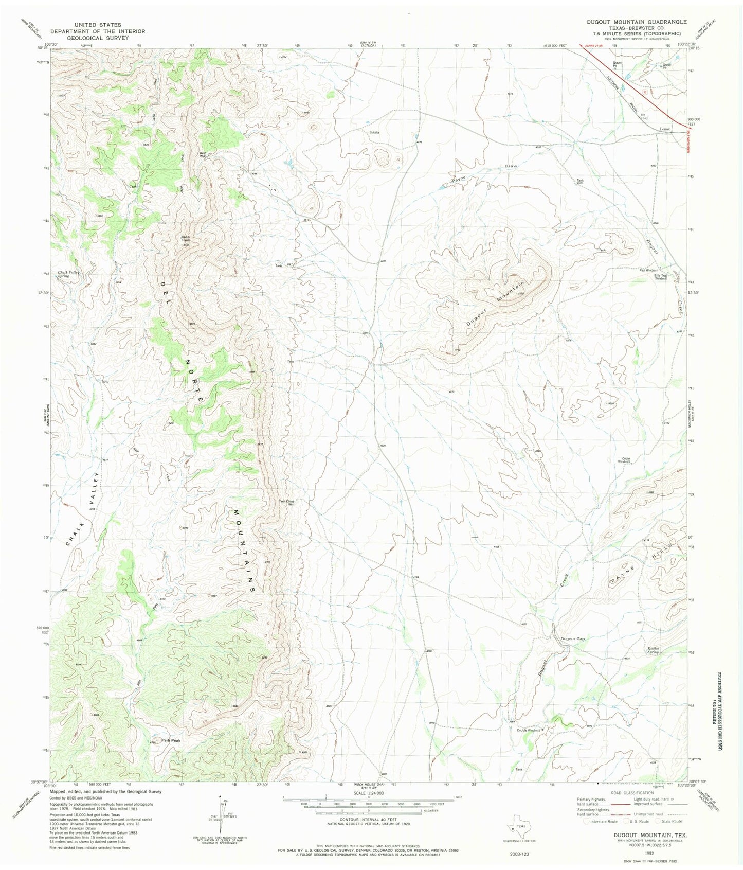
MyTopo
Classic USGS Dugout Mountain Texas 7.5'x7.5' Topo Map
Regular price
$16.95
Regular price
Sale price
$16.95
Unit price
per
Couldn't load pickup availability
Historical USGS topographic quad map of Dugout Mountain in the state of Texas. Map scale may vary for some years, but is generally around 1:24,000. Print size is approximately 24" x 27"
This quadrangle is in the following counties: Brewster.
The map contains contour lines, roads, rivers, towns, and lakes. Printed on high-quality waterproof paper with UV fade-resistant inks, and shipped rolled.
Contains the following named places: Billy Trap Windmill, Cedar Windmill, Chalk Valley Spring, Del Norte Mountains, Double Windmill, Dugout Gap, Dugout Mountain, Emilio Spring, Lenox, Old Payne Ranch, Park Peak, Payne Draw, Red Windmill, Twin China Well, West Well