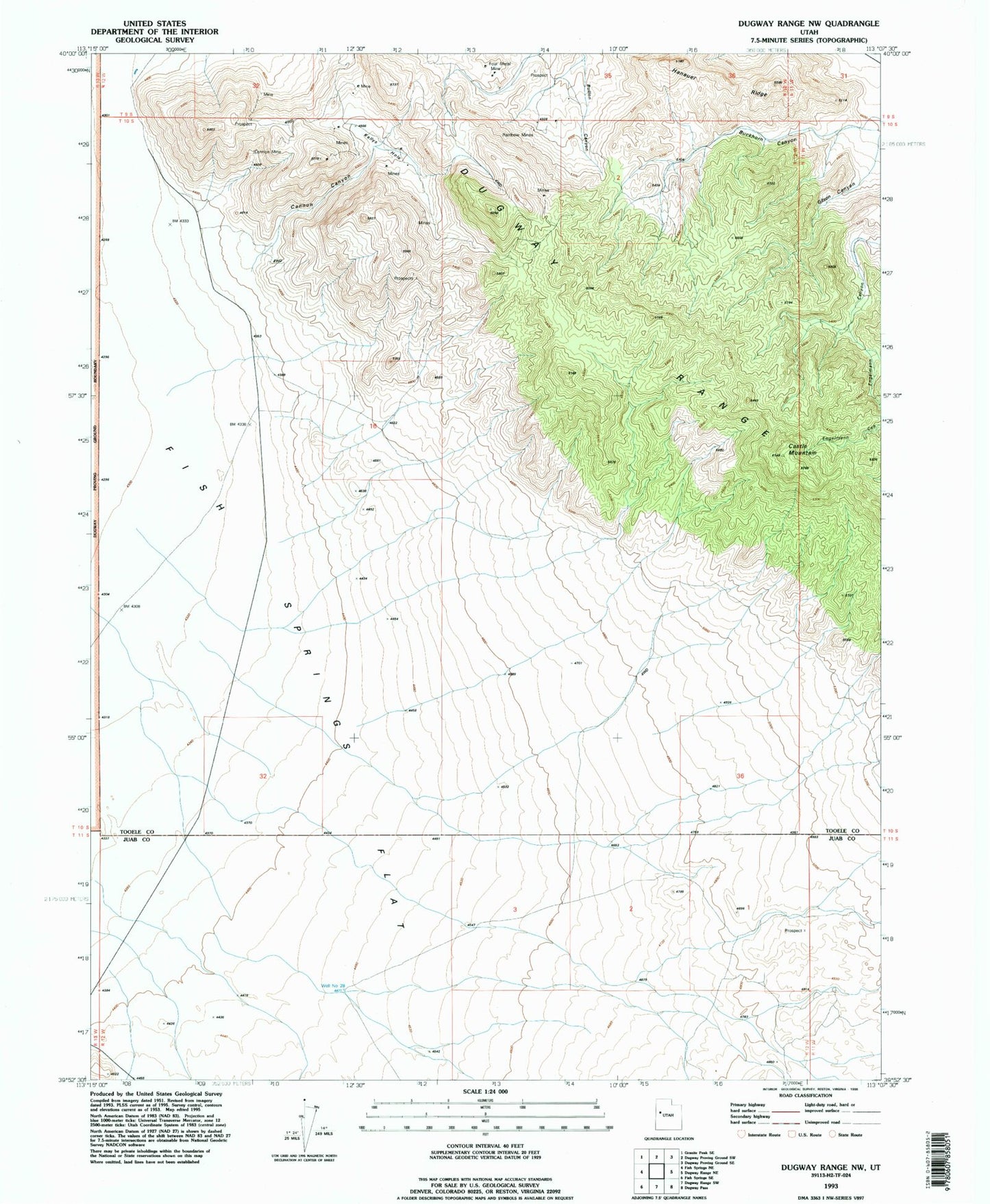
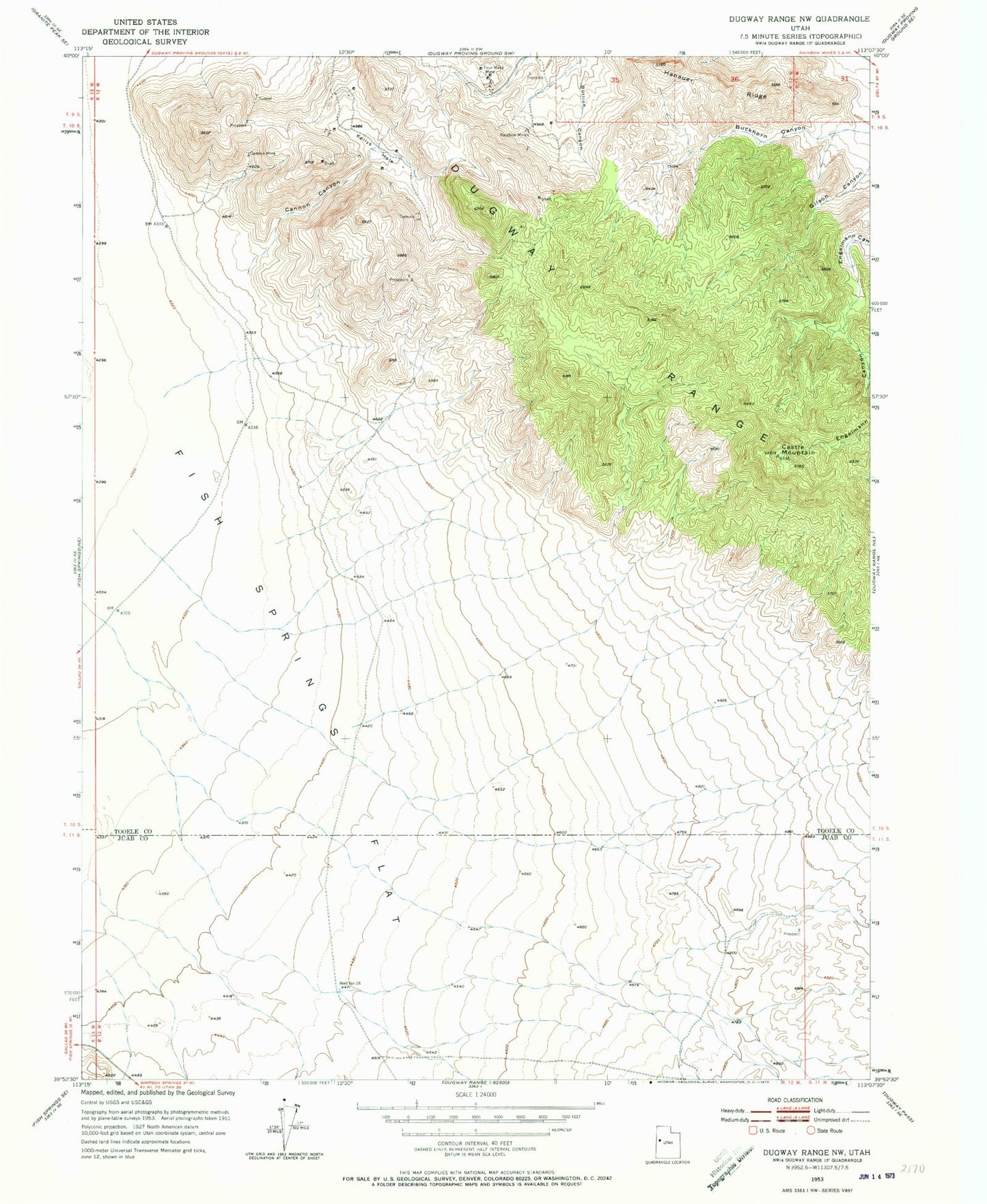
MyTopo
Classic USGS Dugway Range NW Utah 7.5'x7.5' Topo Map
Regular price
$16.95
Regular price
Sale price
$16.95
Unit price
per
Couldn't load pickup availability
Historical USGS topographic quad map of Dugway Range NW in the state of Utah. Map scale may vary for some years, but is generally around 1:24,000. Print size is approximately 24" x 27"
This quadrangle is in the following counties: Juab, Tooele.
The map contains contour lines, roads, rivers, towns, and lakes. Printed on high-quality waterproof paper with UV fade-resistant inks, and shipped rolled.
Contains the following named places: Buckhorn Canyon, Cannon Canyon, Cannon Mine, Castle Mountain, Four Metal Mine, Geode Beds, Gilson Canyon, Hanauer Ridge, Kellys Hole, Rainbow Mines, Well Number 28