MyTopo
Classic USGS Dugway Range SW Utah 7.5'x7.5' Topo Map
Regular price
$16.95
Regular price
Sale price
$16.95
Unit price
per
Couldn't load pickup availability
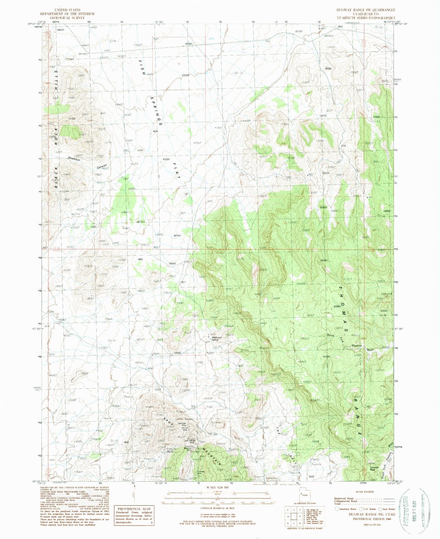
Historical USGS topographic quad map of Dugway Range SW in the state of Utah. Map scale may vary for some years, but is generally around 1:24,000. Print size is approximately 24" x 27"
This quadrangle is in the following counties: Juab.
The map contains contour lines, roads, rivers, towns, and lakes. Printed on high-quality waterproof paper with UV fade-resistant inks, and shipped rolled.
Contains the following named places: Blowout Mine, Colored Pass, Goshoot Canyon, Hangrock Spring, Hilltop Mine, Oversight Mine, Thomas Ridge, Thursday Mine, Wildhorse Spring