MyTopo
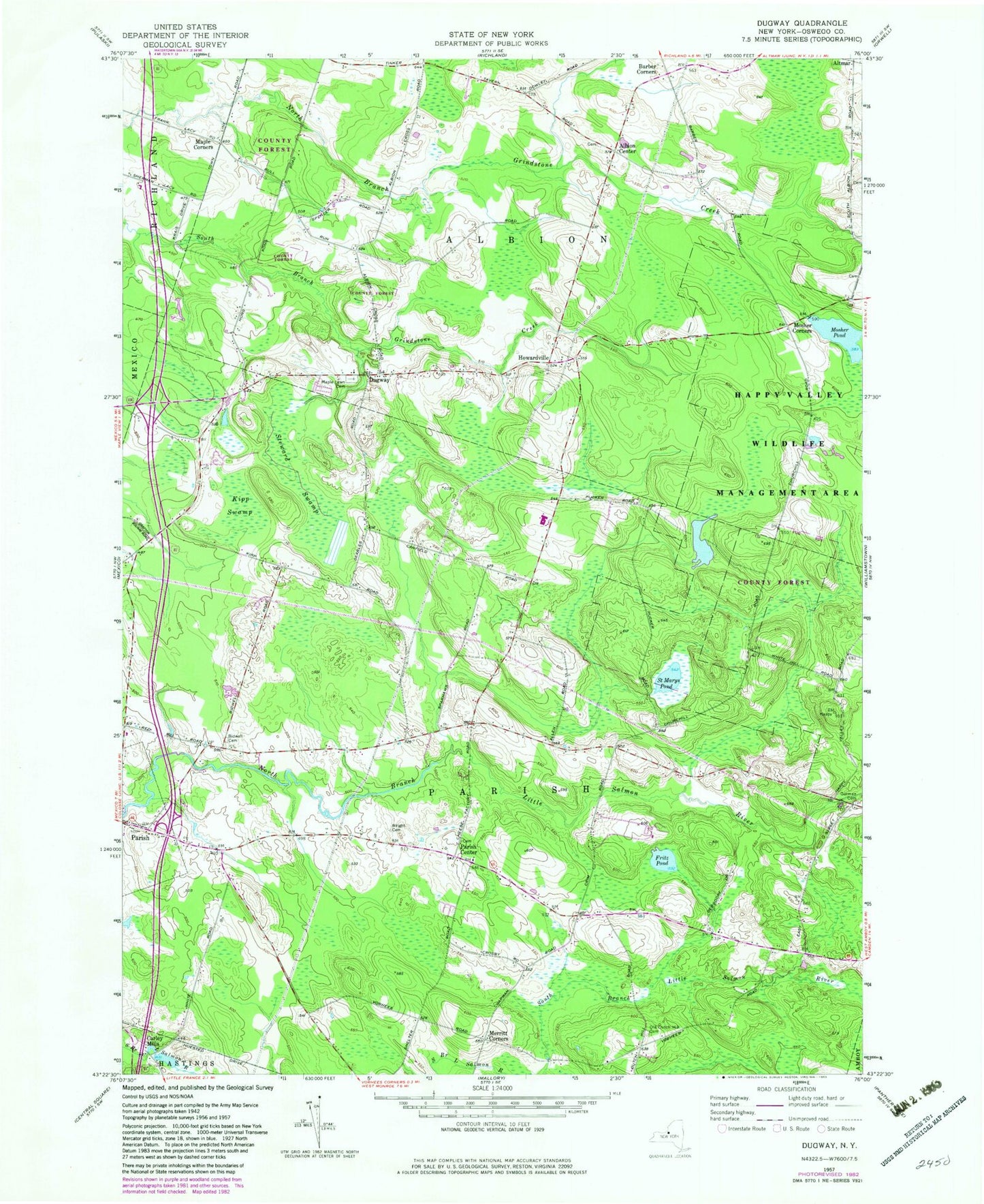
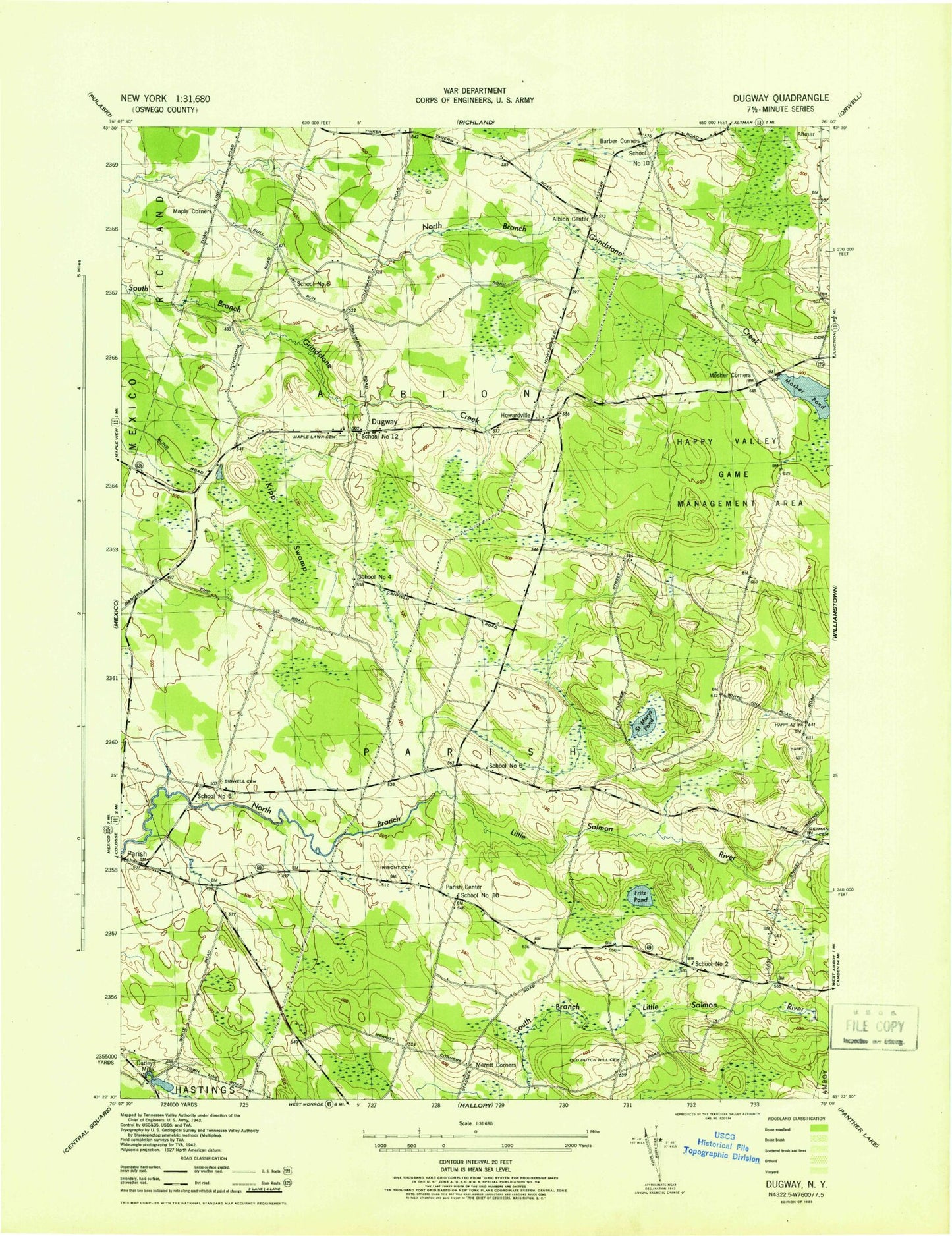
Classic USGS Dugway New York 7.5'x7.5' Topo Map
Couldn't load pickup availability
Historical USGS topographic quad map of Dugway in the state of New York. Typical map scale is 1:24,000, but may vary for certain years, if available. Print size: 24" x 27"
This quadrangle is in the following counties: Oswego.
The map contains contour lines, roads, rivers, towns, and lakes. Printed on high-quality waterproof paper with UV fade-resistant inks, and shipped rolled.
Contains the following named places: Barber Corners, Bidwell Cemetery, Fritz Pond, Getman Cemetery, Kipp Swamp, Maple Corners, Dugway Cemetery, Merritt Corners, Mosher Corners, Mosher Pond, Dutch Hill Cemetery, Saint Marys Pond, Steward Swamp, Wright Cemetery, Albion Center, Carley Mills, Dugway, Howardville, Parish Center, Town of Albion, Town of Parish, School Number 2 (historical), School Number 4 (historical), School Number 5 (historical), School Number 6 (historical), School Number 8 (historical), School Number 10 (historical), School Number 10 (historical), School Number 12 (historical), Albion Center Cemetery, Altmar - Parish - Williamstown Middle School, Altmar - Parish - Williamstown High School, Faith Church of the Nazarene, Paris Hastings Presbyterian Church, Chezwick Estates Mobile Home Park, Liberty Park Mobile Home Park


