MyTopo
Classic USGS Duhaime Flat East Oregon 7.5'x7.5' Topo Map
Regular price
$16.95
Regular price
Sale price
$16.95
Unit price
per
Couldn't load pickup availability
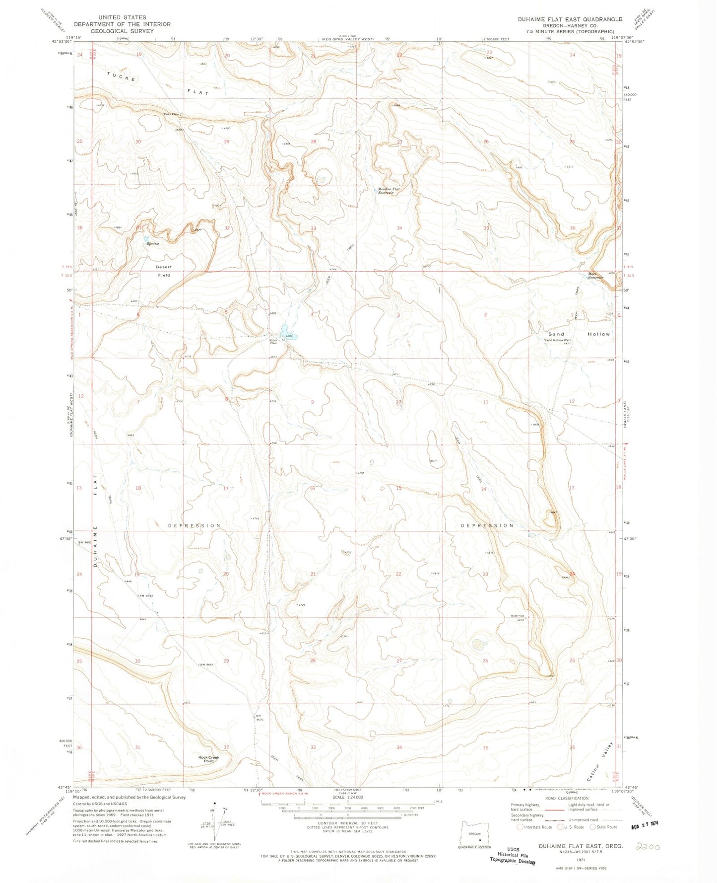
Historical USGS topographic quad map of Duhaime Flat East in the state of Oregon. Map scale may vary for some years, but is generally around 1:24,000. Print size is approximately 24" x 27"
This quadrangle is in the following counties: Harney.
The map contains contour lines, roads, rivers, towns, and lakes. Printed on high-quality waterproof paper with UV fade-resistant inks, and shipped rolled.
Contains the following named places: Desert Field, Macs Reservoir, Meadow Flat, Meadow Flat Reservoir, Miller Place, Rock Creek Point, Sand Hollow, Sand Hollow Well, Tucke Flat, Tucke Place