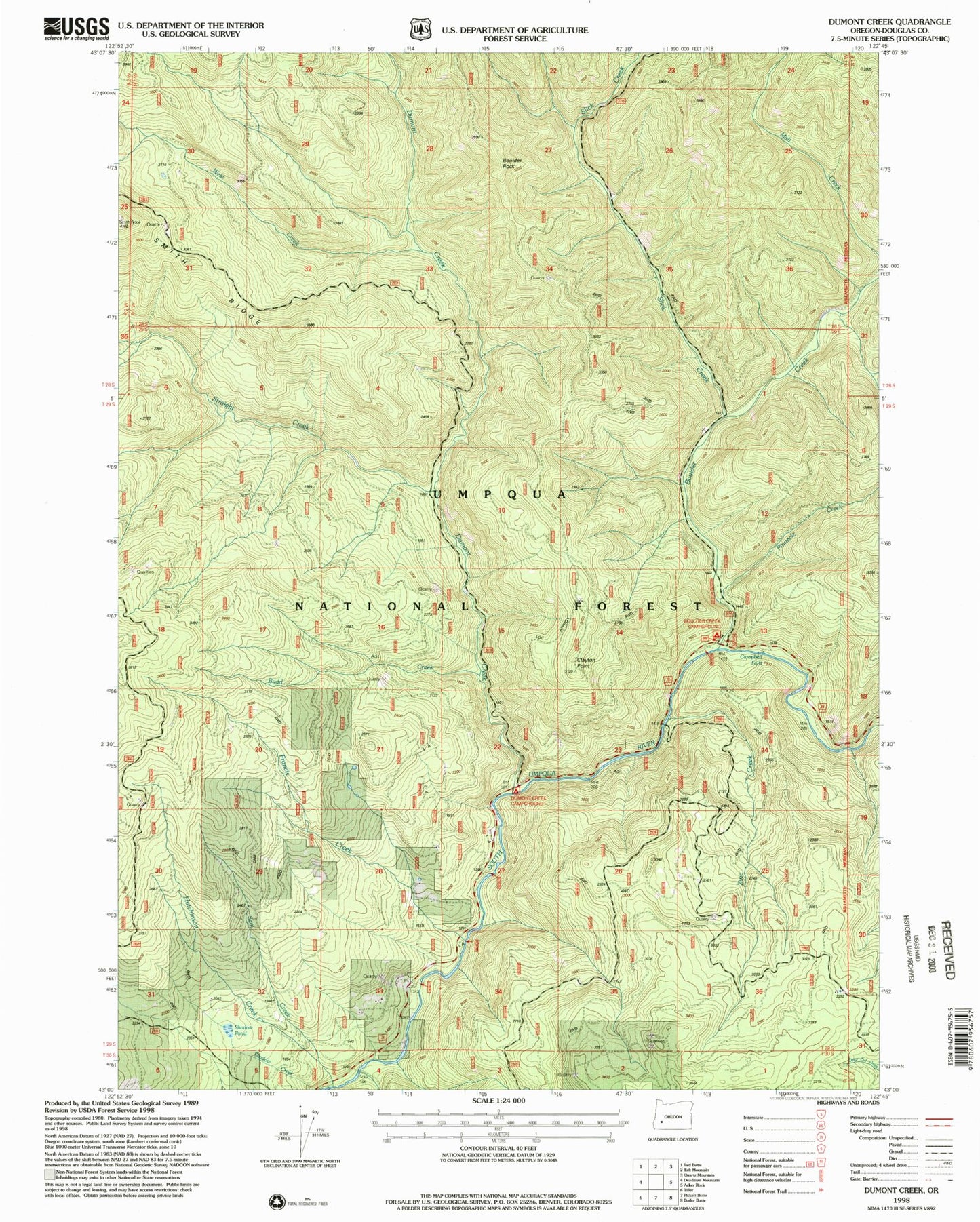
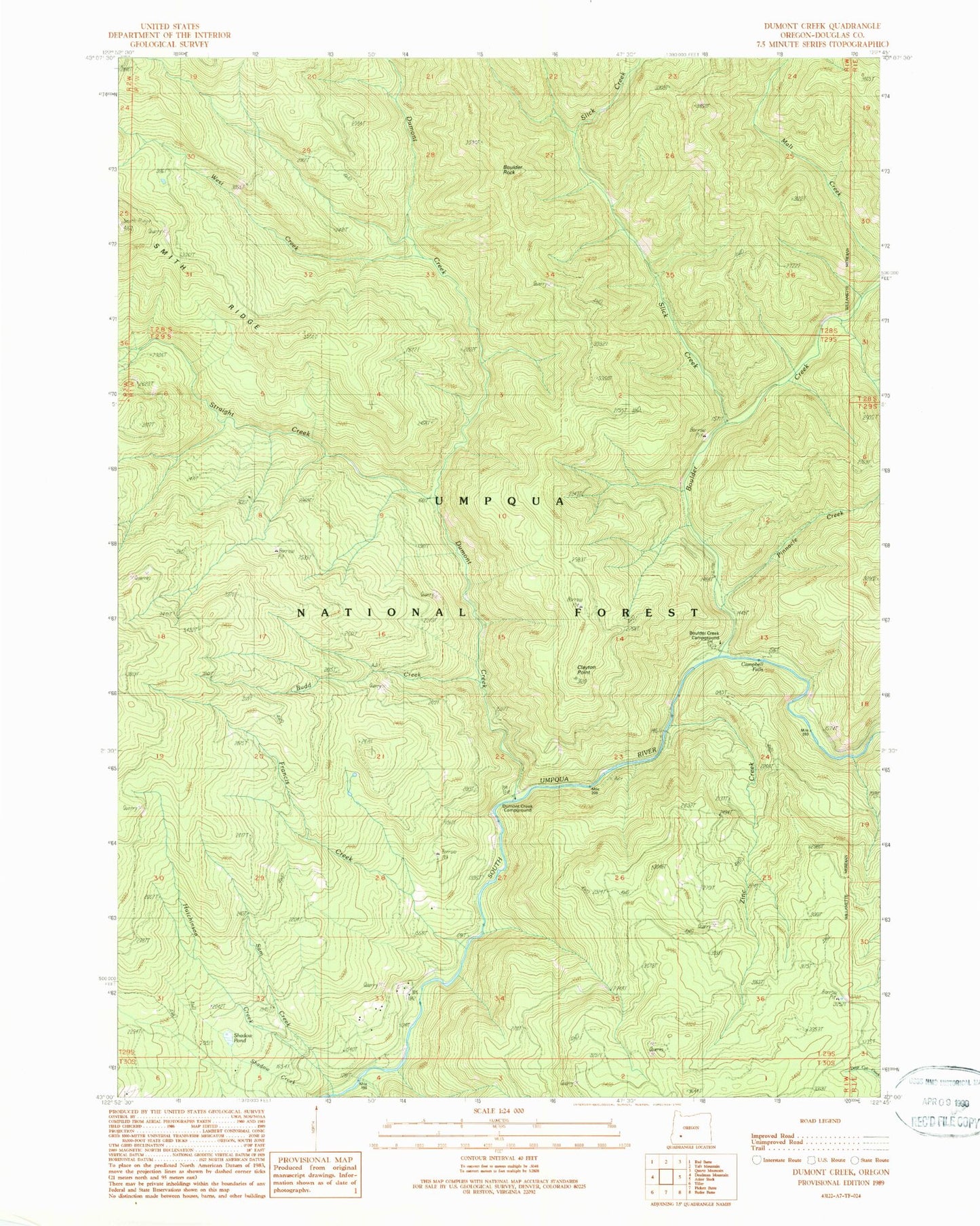
MyTopo
Classic USGS Dumont Creek Oregon 7.5'x7.5' Topo Map
Couldn't load pickup availability
Historical USGS topographic quad map of Dumont Creek in the state of Oregon. Map scale may vary for some years, but is generally around 1:24,000. Print size is approximately 24" x 27"
This quadrangle is in the following counties: Douglas.
The map contains contour lines, roads, rivers, towns, and lakes. Printed on high-quality waterproof paper with UV fade-resistant inks, and shipped rolled.
Contains the following named places: Boulder Annex Recreation Site, Boulder Creek, Boulder Creek Recreation Site, Boulder Creek Umpqua National Forest Boat Launch, Boulder Rock, Budd Creek, Campbell Falls, Clayton Creek, Clayton Point, Dry Creek, Dumont Creek, Dumont Creek Recreation Site, Francis Creek, Hob Knob, Hutchinson Creek, Radford Creek, Sam Creek, Slick Creek, Straight Creek, Straight Creek Trail, West Creek, Zinc Creek