MyTopo
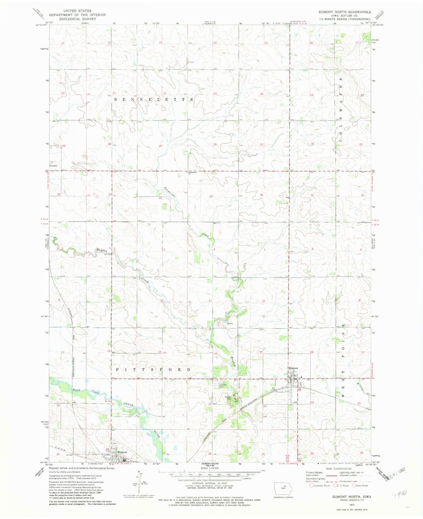
Classic USGS Dumont North Iowa 7.5'x7.5' Topo Map
Couldn't load pickup availability
Historical USGS topographic quad map of Dumont North in the state of Iowa. Map scale may vary for some years, but is generally around 1:24,000. Print size is approximately 24" x 27"
This quadrangle is in the following counties: Butler.
The map contains contour lines, roads, rivers, towns, and lakes. Printed on high-quality waterproof paper with UV fade-resistant inks, and shipped rolled.
Contains the following named places: Bennezette Church, Boylans Grove Post Office, Bristow, Bristow Fire Department, Bristow Post Office, Bristow Town Hall, Church of Christ, City of Bristow, City of Dumont, Cooner Farms, Dumont, Dumont Care Center, Dumont Cemetery, Dumont Library, Dumont Post Office, Dumont Reformed Church, Hampton-Dumont Elementary School, Kyle Wildlife Area, Mercy Family Care Center, Needham Cemetery, Oak Hill Cemetery, Old Bristow Cemetery, Parmentar Creek, Poelma Dairy, Reser Farms, Saint Francis Catholic Church, Shear Elevator, South Bristow Cemetery, Township of Bennezette, Township of Pittsford, Umble Hog Farm, United Methodist Church, Wilson Grove Post Office, ZIP Code: 50611