MyTopo
Classic USGS Dumont Minnesota 7.5'x7.5' Topo Map
Couldn't load pickup availability
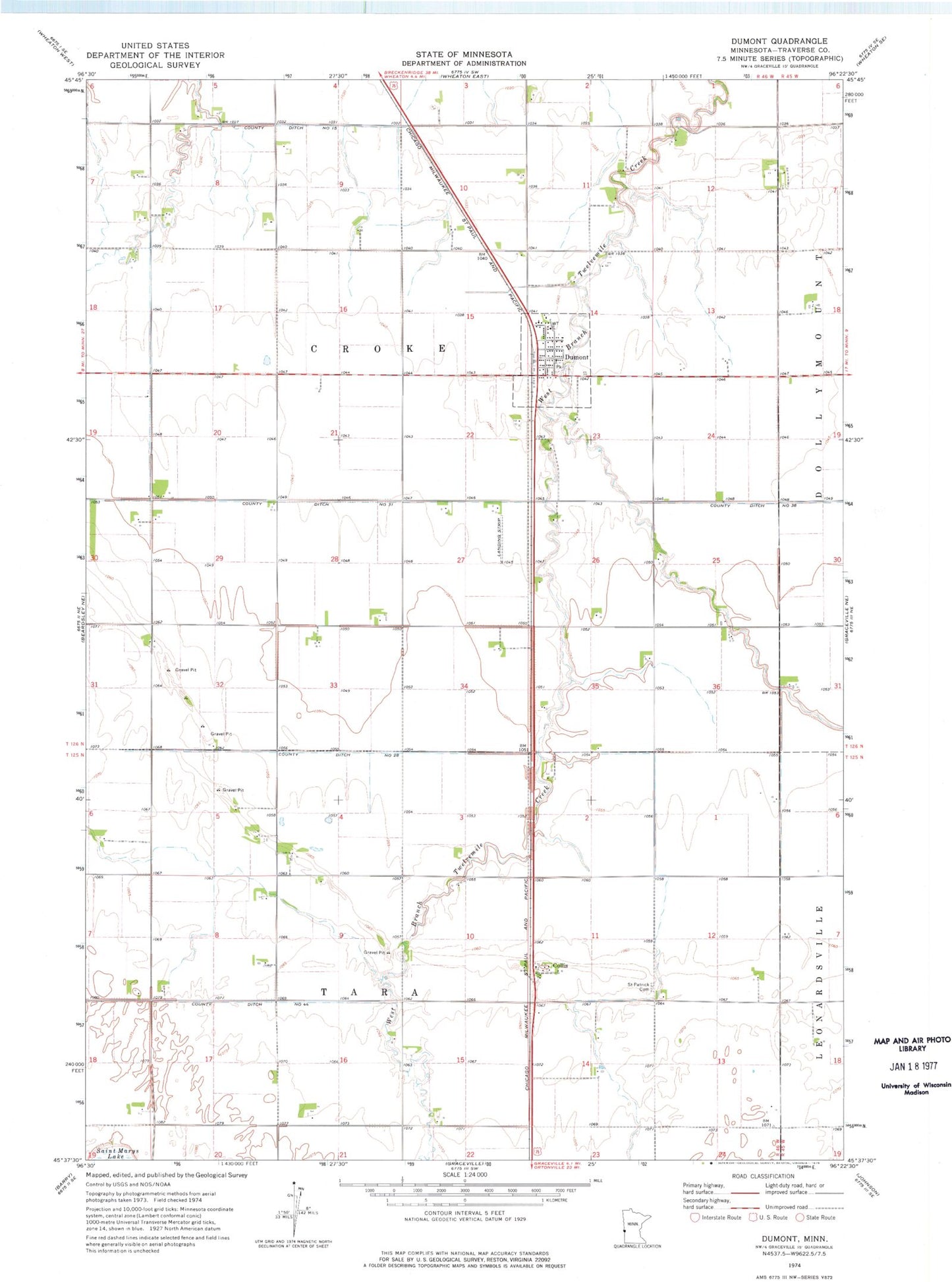
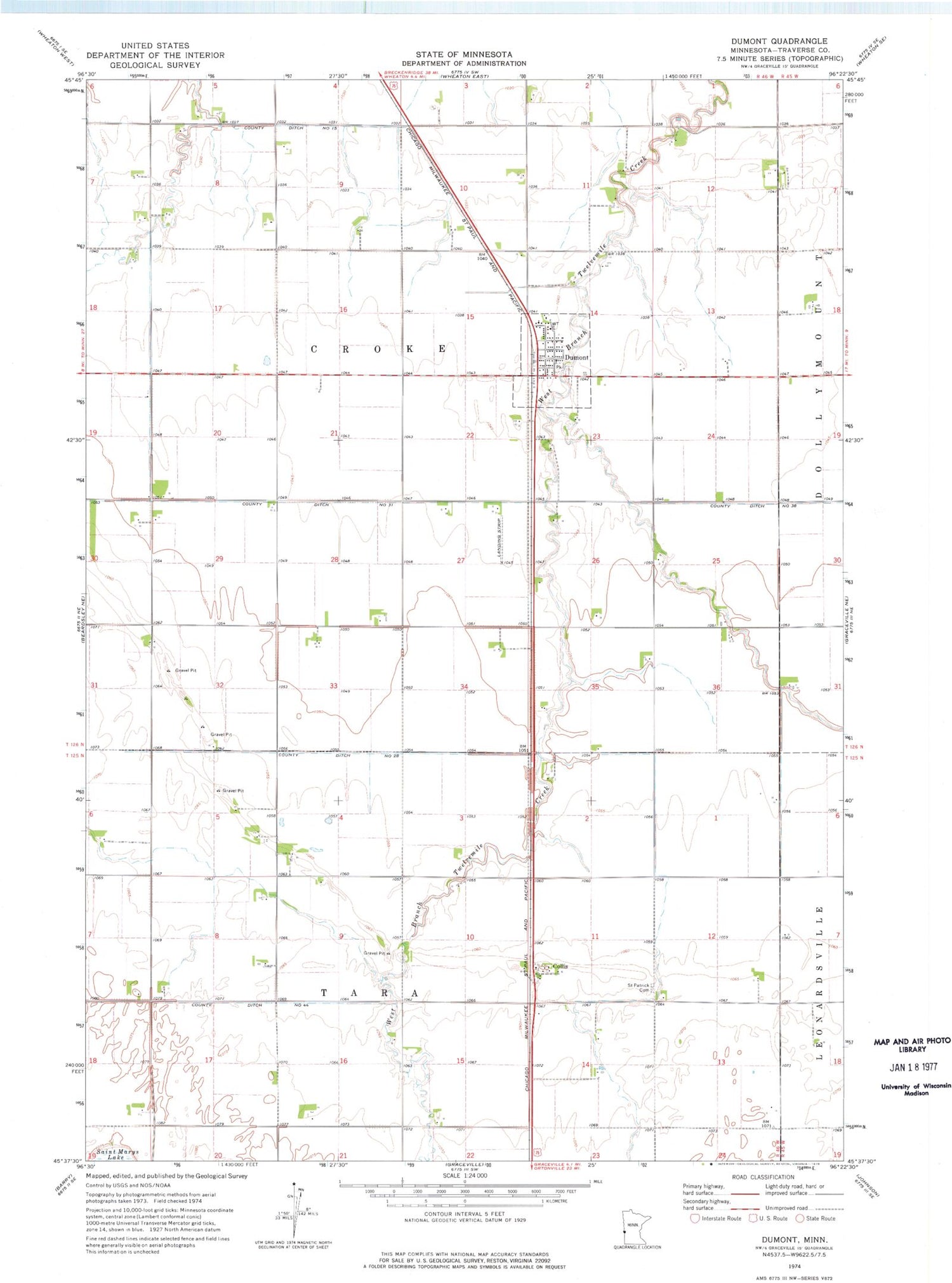
Historical USGS topographic quad map of Dumont in the state of Minnesota. Map scale may vary for some years, but is generally around 1:24,000. Print size is approximately 24" x 27"
This quadrangle is in the following counties: Traverse.
The map contains contour lines, roads, rivers, towns, and lakes. Printed on high-quality waterproof paper with UV fade-resistant inks, and shipped rolled.
Contains the following named places: City of Dumont, Collis, Collis Post Office, County Ditch Number Fifteen, County Ditch Number Thirtyeight, County Ditch Number Thirtyone, County Ditch Number Twentyeight, Dumont, Dumont Fire Department, Dumont Post Office, Frisch Airport, Immanuel Lutheran Church, Saint John Lutheran Church, Saint Johns Lutheran Cemetery, Saint Patrick Cemetery, Saint Peters Church, School Number 42, School Number 43, Township of Croke, Township of Tara, ZIP Code: 56236