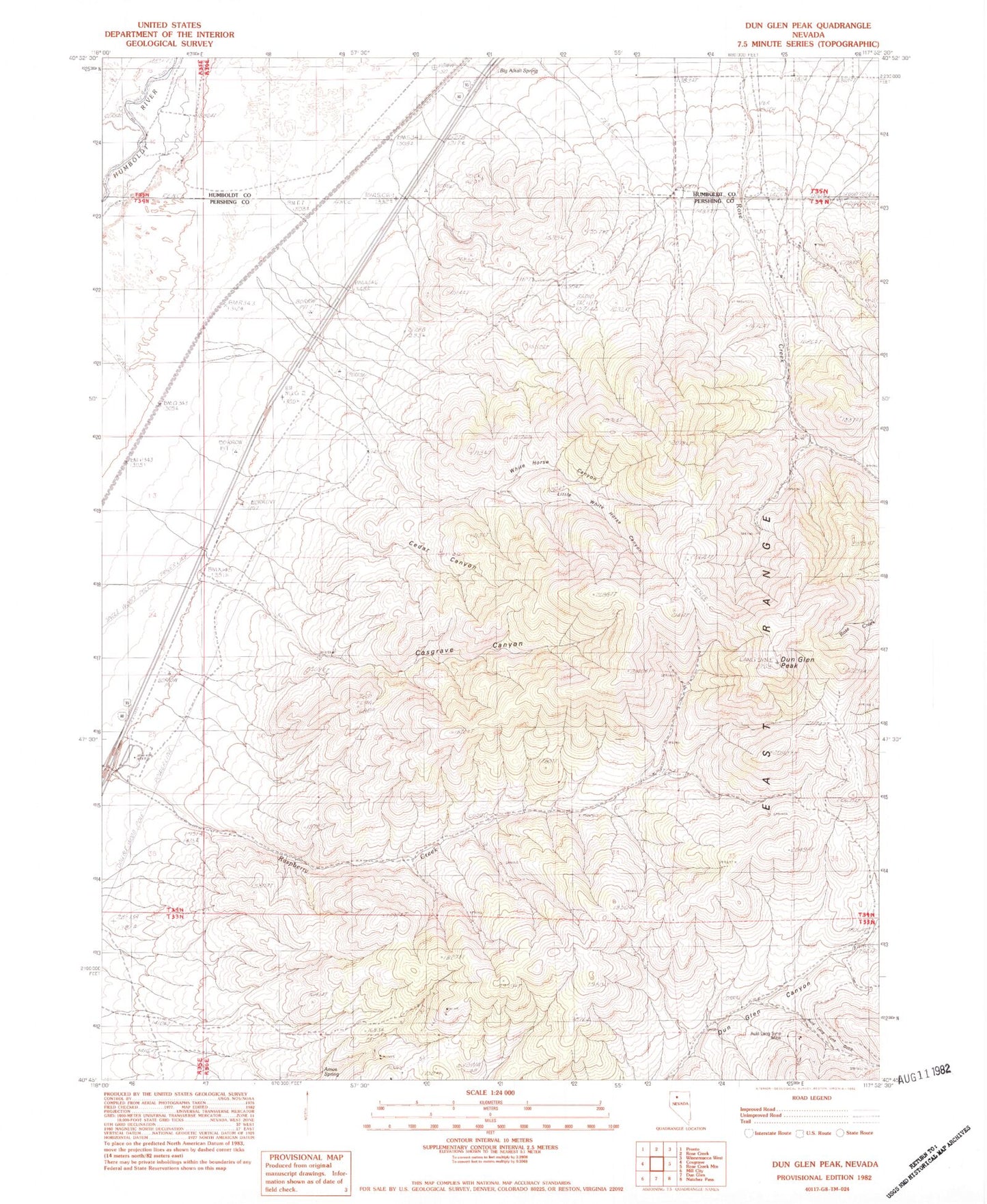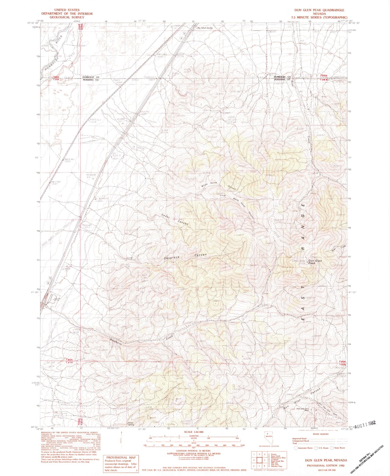
MyTopo
Classic USGS Dun Glen Peak Nevada 7.5'x7.5' Topo Map
Couldn't load pickup availability
Historical USGS topographic quad map of Dun Glen Peak in the state of Nevada. Map scale may vary for some years, but is generally around 1:24,000. Print size is approximately 24" x 27"
This quadrangle is in the following counties: Humboldt, Pershing.
The map contains contour lines, roads, rivers, towns, and lakes. Printed on high-quality waterproof paper with UV fade-resistant inks, and shipped rolled.
Contains the following named places: Amos Spring, Auld Lang Syne Gulch, Auld Lang Syne Mine, Big Alkali Spring, Cedar Canyon, Cedar Creek, Cosgrave Canyon, Dun Glen Peak, Hendra Mill, Hendra Mines, Lamar, Little White Horse Canyon, Neptune Tunnel, North Fork Raspberry Canon, Osburns Canon, Rasberry Spring Four, Rasberry Spring One, Rasberry Spring Three, Rasberry Spring Two, Raspberry Canon, Rose Creek Mining District, White Horse Canyon, White Horse Creek