MyTopo
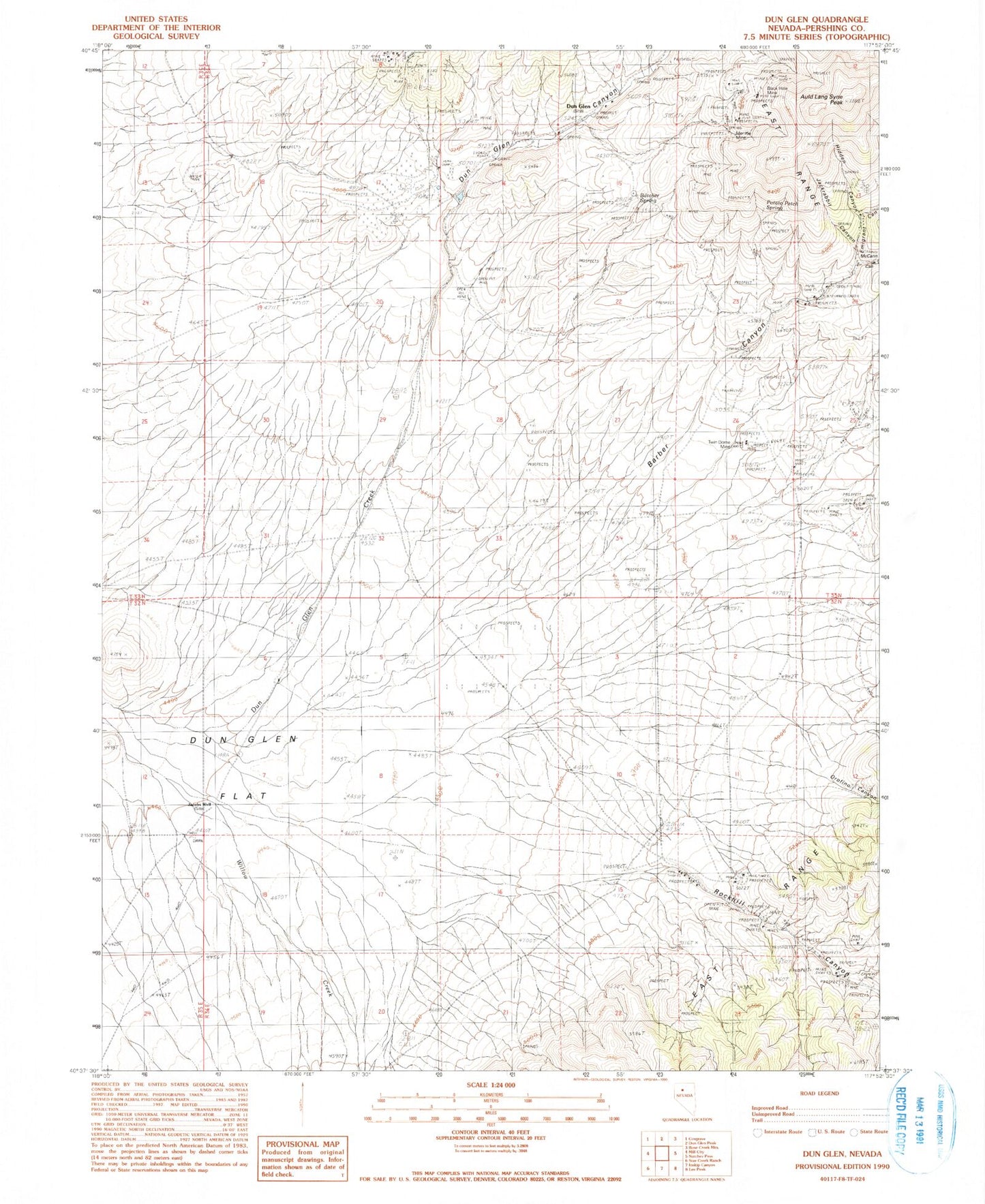
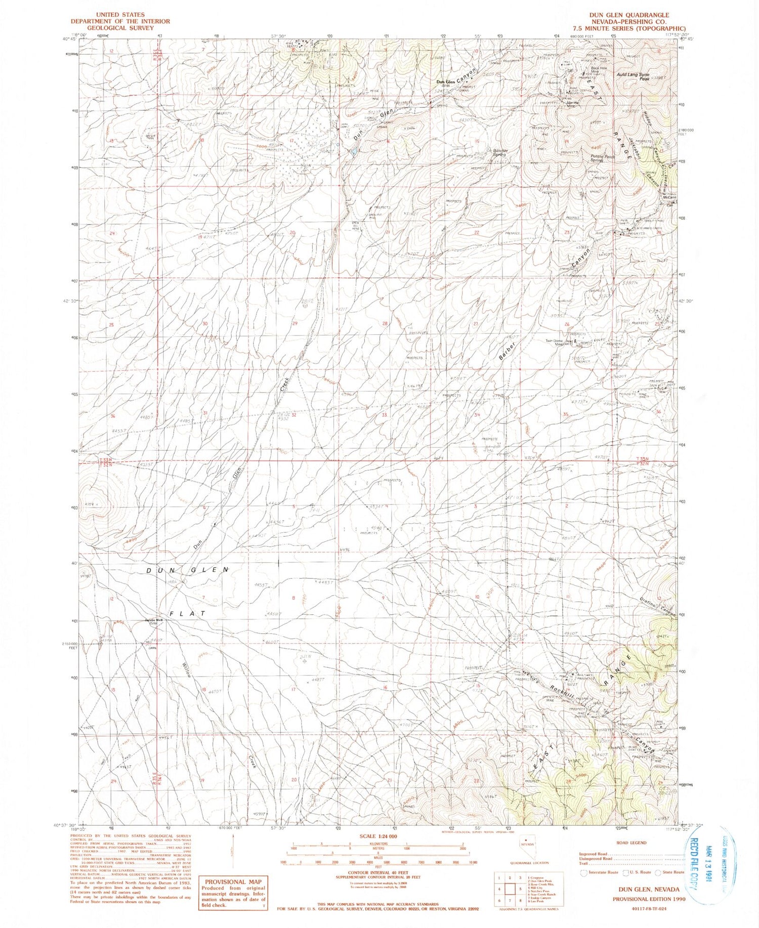
Classic USGS Dun Glen Nevada 7.5'x7.5' Topo Map
Couldn't load pickup availability
Historical USGS topographic quad map of Dun Glen in the state of Nevada. Map scale may vary for some years, but is generally around 1:24,000. Print size is approximately 24" x 27"
This quadrangle is in the following counties: Pershing.
The map contains contour lines, roads, rivers, towns, and lakes. Printed on high-quality waterproof paper with UV fade-resistant inks, and shipped rolled.
Contains the following named places: Auld Lang Syne Peak, Barber Canyon, Barber Canyon Mine, Barbers Creek, Black Hole Mine, Butcher Spring, Dun Glen, Dun Glen Canyon, Dun Glen Mine, Dun Glen Post Office, Emigrant Canyon, Essex Quartz Mill, Hidden Canyon, Jackrabbit Canyon, Jacobs Well, McCann Canyon, Monroe Mine, Orofino Canyon, Potato Patch Spring, Rock Hill Creek, Rockhill, Rockhill Canyon, Rockhill Canyon Mines, South Fork Emigrant Canyon, Tallulah Mine, Tiptop Post Office, Twin Dome Mine, White Bear Mine, Willow Creek, Yosemite Mine