MyTopo
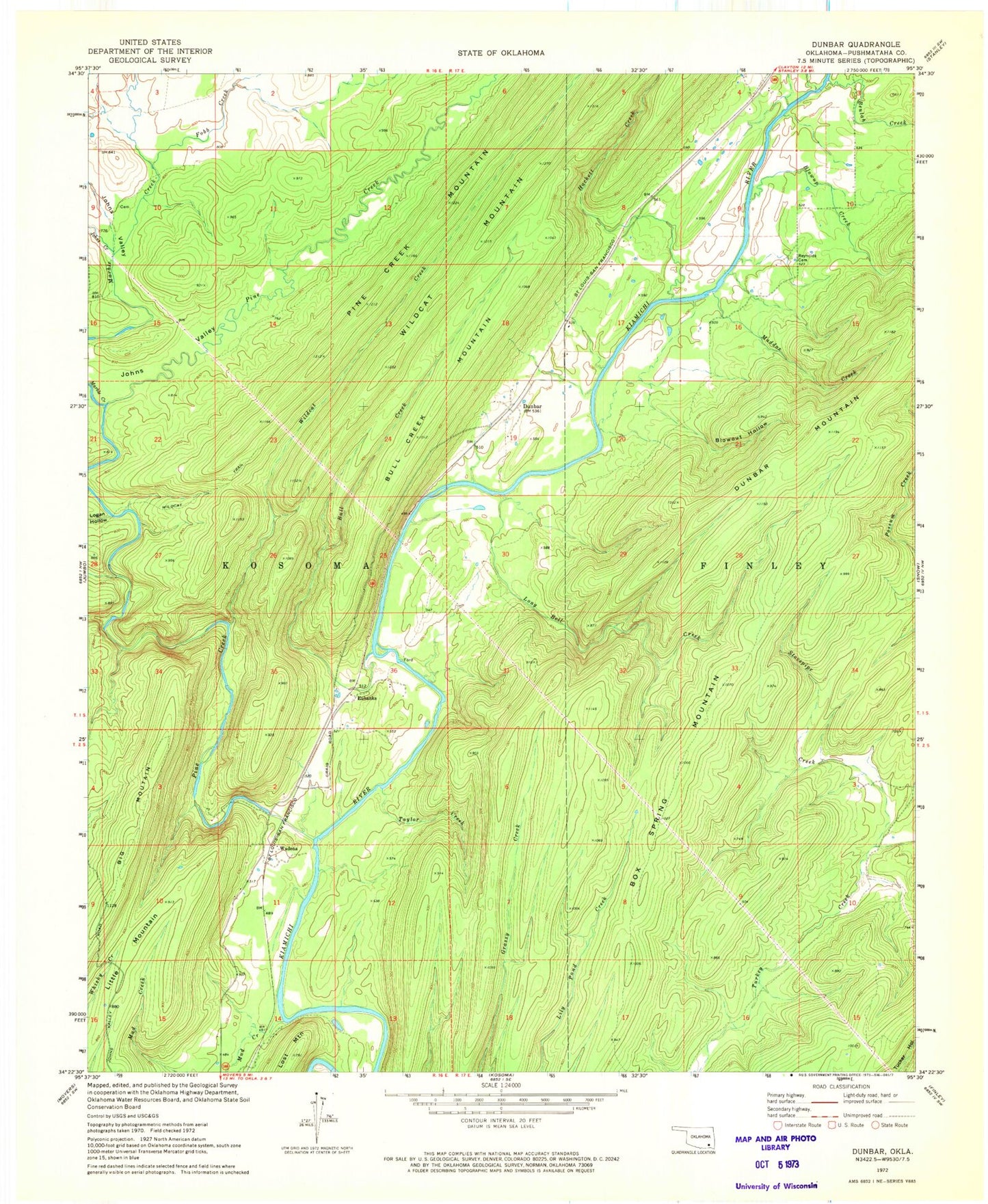
Classic USGS Dunbar Oklahoma 7.5'x7.5' Topo Map
Couldn't load pickup availability
Historical USGS topographic quad map of Dunbar in the state of Oklahoma. Map scale may vary for some years, but is generally around 1:24,000. Print size is approximately 24" x 27"
This quadrangle is in the following counties: Pushmataha.
The map contains contour lines, roads, rivers, towns, and lakes. Printed on high-quality waterproof paper with UV fade-resistant inks, and shipped rolled.
Contains the following named places: Beulah Creek, Big Mountain, Blowout Hollow, Blowup Creek, Box Spring Mountain, Bull Creek, Bull Creek Mountain, Dunbar, Eubanks, Fobb Creek, Hackett Creek, Johns Creek, Johns Valley, Little Mountain, Logan Hollow, Long Bell Creek, Lost Mountain, Maddox Creek, Marble Creek, Monkeywrench Creek, Mud Creek, Pine Creek, Reynolds Cemetery, Stovepipe Creek, Taylor Creek, Wadena, Wildcat Creek, Wildcat Trail