MyTopo
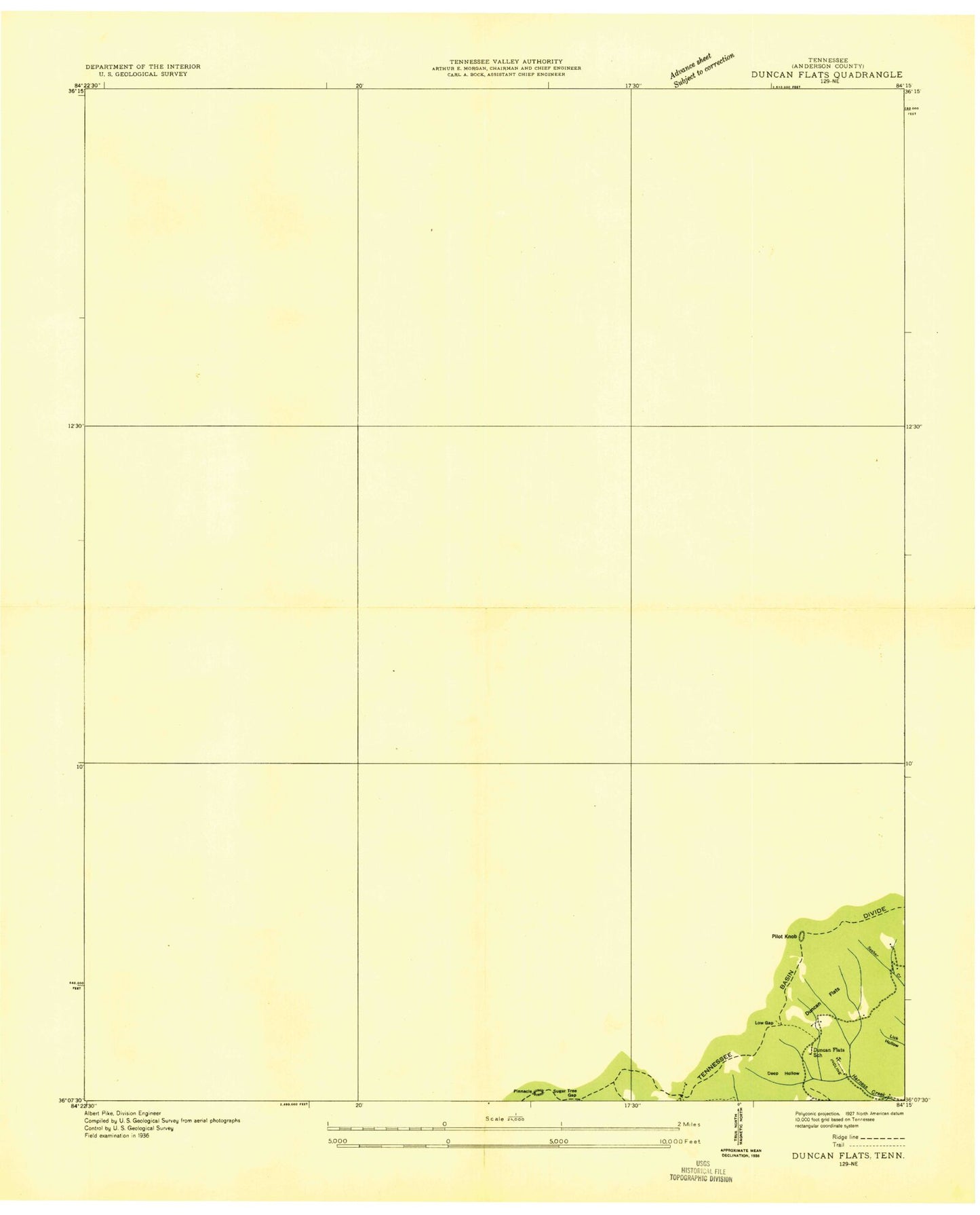
Classic USGS Duncan Flats Tennessee 7.5'x7.5' Topo Map
Couldn't load pickup availability
Historical USGS topographic quad map of Duncan Flats in the state of Tennessee. Map scale may vary for some years, but is generally around 1:24,000. Print size is approximately 24" x 27"
This quadrangle is in the following counties: Anderson, Campbell, Scott.
The map contains contour lines, roads, rivers, towns, and lakes. Printed on high-quality waterproof paper with UV fade-resistant inks, and shipped rolled.
Contains the following named places: Adkins Branch, Asslinger Cemetery, Bearwallow Branch, Beech Fork, Beech Fork Baptist Church, Beech Fork Cemetery, Ben Phillips Cemetery, Big Branch, Big Fork Ridge, Blue Hole Branch, Bob Elders Mine, Bootjack Mountain, Braytown, Bridge Branch, Brier Gap, Buffalo Mountain, Bullock Cemetery, Bunch Cemetery, Cage Creek, Calvin Branch, Carroll Branch, Carroll Cemetery, Carroll Ridge, Charles Phillips Mine, Charleys Branch, Clinchmore, Clinchmore Mine, Commissioner District 4, Cumberland School, Daugherty Ridge, Deep Hollow, Diggs Mine, District 10, Dogwood Flats, Dorrycott Mine, Dory Irish Mine, Double Camp Creek, Duncan Flats, East Fork Ligias Creek, Eli Branch, Emily Cemetery, Fellowship Church, Flat Branch, Flat Woods School, Gennett Camp, Grave Hill Baptist Church, Grave Hill Missionary Baptist Church Cemetery, Graves Gap Branch, Graves Gap Mine, Hannah Top, Issac Lowe Mine, Ivygrove Church, Jack Branch, Jim Braden Mine, Jones Cemetery, Julians Rock, Ligias Fork, Link Philips Cemetery, Little Creek, Lively Cemetery, Liza Flats, Low Gap, Lowe Gap, Lower Fork, Main Mountain Mine, Marlow Branch, Marlow Cemetery, Marlow School, Mart Branch, Matt Phillips Cemetery, McGee Cemetery, Mill Creek, Mountain Home Cemetery, Mountain Home Church, New Pilot Baptist Church, New Pilot Cemetery, New River Division, Nick Patterson Cemetery, Patterson Branch, Patterson Cemeteries, Patterson Cemetery, Patterson Mountain, Phillips Branch, Phillips Cemetery, Pilot Mountain, Pinacle, Pine Orchard Flats, Ples Ridge, Redoak Gap School, Redoak Mountain, Reynolds Branch, Roaring Creek, Roberts Ford, Rock Hill Church, Rosedale, Rosedale Elementary School, Rosedale Two B Mine, Round Mountain, Round Rock Creek, Sassafras Mountain, Shafer Mine, Shea, Shiloh Church, Skull Branch, Slick Rock Branch, Sprucepine Branch, Stainville, Stone Coal Branch, Stony Fork, Stony Fork School, Sugar Tree Gap, Tackett Branch, Thompson Mine, Upper Fork, Ursery Branch, Ward Branch, Ward Cemetery, Welch Camp, Wolfpen Branch, ZIP Code: 37710


