MyTopo
Classic USGS Duncan Peak California 7.5'x7.5' Topo Map
Couldn't load pickup availability
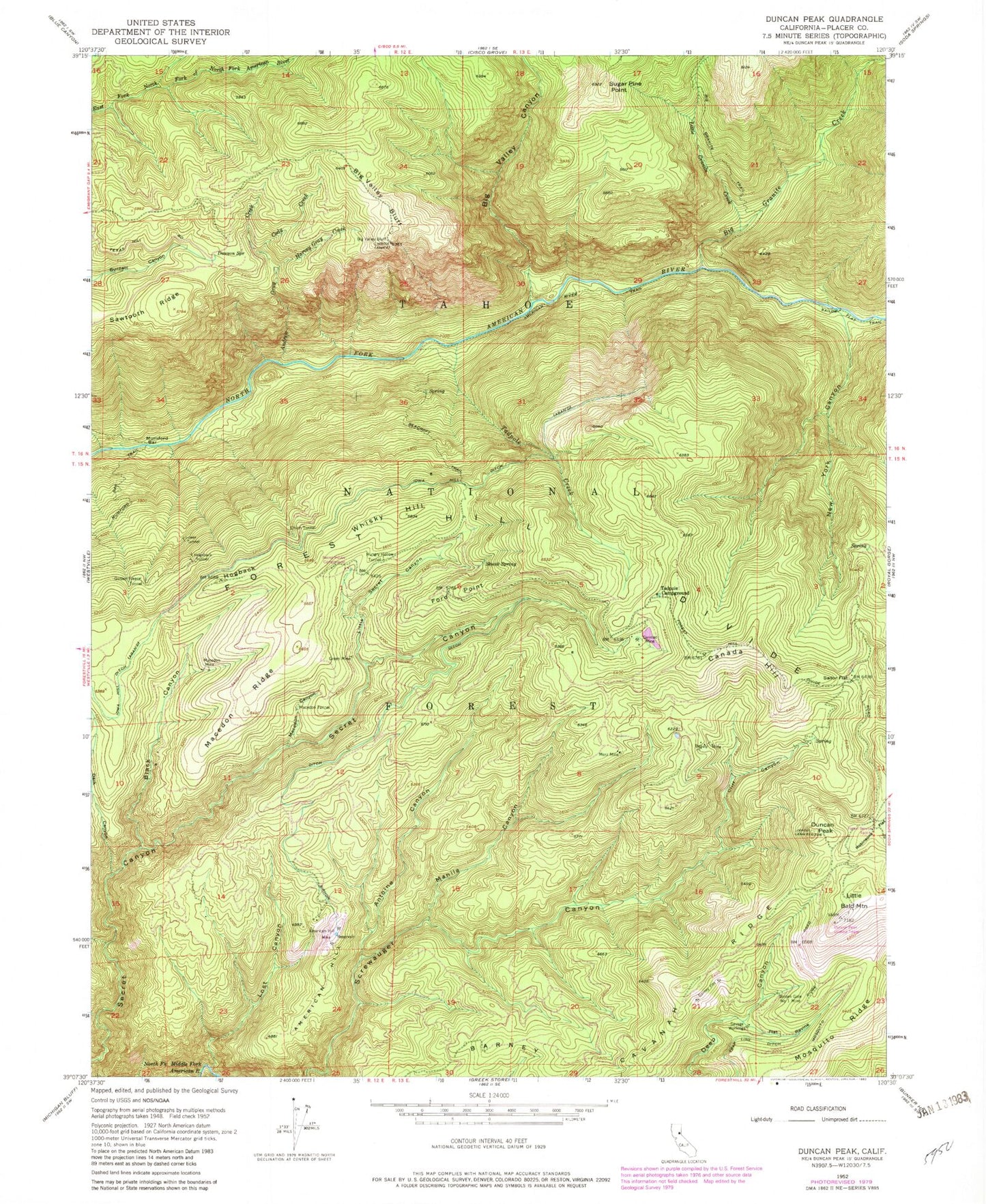
Historical USGS topographic quad map of Duncan Peak in the state of California. Typical map scale is 1:24,000, but may vary for certain years, if available. Print size: 24" x 27"
This quadrangle is in the following counties: Placer.
The map contains contour lines, roads, rivers, towns, and lakes. Printed on high-quality waterproof paper with UV fade-resistant inks, and shipped rolled.
Contains the following named places: American River Trail, Big Valley Bluff, Mosquito Ridge, Sawtooth Ridge, American Hill Mine, Andrew Gray Creek, Antoine Canyon, Barney Pits, Beacroft Trail, Beauty Mine, Big Granite Creek, Big Granite Trail, Big Valley Bluff Lookout, Black Canyon, Canada Hill, Carmac Mine, Cliff Canyon, Cody Creek, Dark Canyon, Dawson Spring, Duncan Peak, Flat Ravine, Ford Point, Golden Fleece Tunnel, Golden Gate Number One Mine, Green Mine, Harvey Gray Creek, Hogback, Hogsback Tunnel, Hungry Hollow Tunnel, Iowa Hill Ditch, Little Bald Mountain, Little Granite Creek, Little Secret Canyon, Lost Canyon, Lower Tunnel, Macedon Canyon, Macedon Mine, Macedon Ridge, Macedon Tunnel, Manila Canyon, Merz Mine, Mumford Bar, New York Canyon, Robinsons Flat, Sailor Flat, Savage Workings, Secret House, Skunk Spring, Big Valley Canyon, Barney Cavanah Ridge, Sugar Pine Point, Tadpole Campground, Tadpole Creek, Union Tunnel, Whisky Hill, Robinsons Flat Campground, Duncan Peak Forest Service Station, American Hill, Watson Crossing, Duncan Peak Lookout Tower, Flat Ravine (historical), Granite Canyon, Secret Canyon (historical), Secret House Campground, Tadpole Spring, Little Granite Canyon


