MyTopo
Classic USGS Duncan Arizona 7.5'x7.5' Topo Map
Couldn't load pickup availability
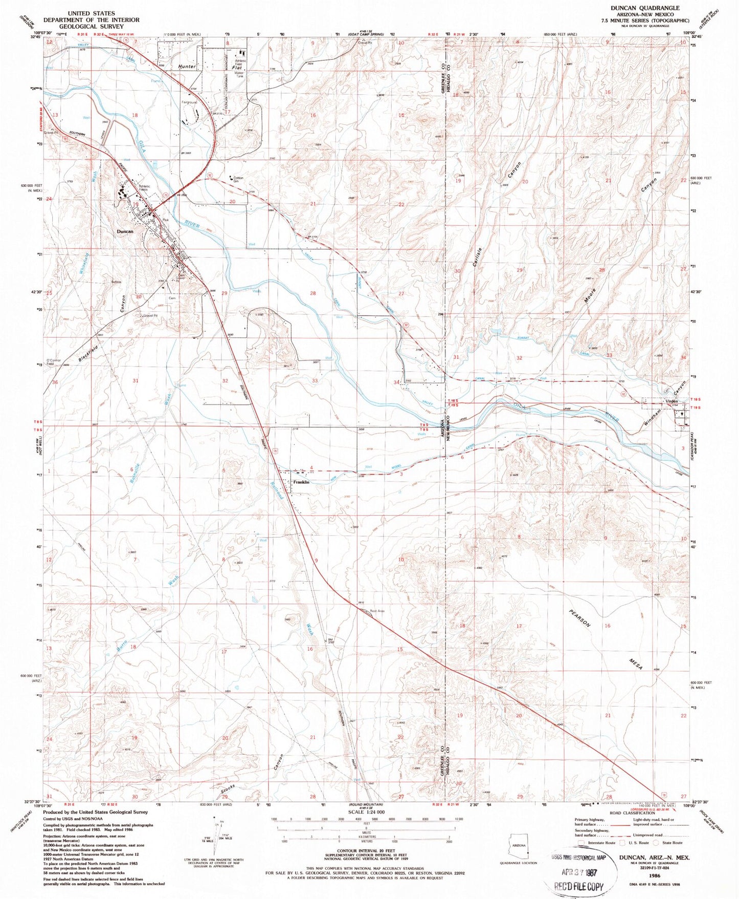
Historical USGS topographic quad map of Duncan in the states of Arizona, New Mexico. Map scale may vary for some years, but is generally around 1:24,000. Print size is approximately 24" x 27"
This quadrangle is in the following counties: Greenlee, Hidalgo.
The map contains contour lines, roads, rivers, towns, and lakes. Printed on high-quality waterproof paper with UV fade-resistant inks, and shipped rolled.
Contains the following named places: Blackfield Canyon, Burleson Canyon, Burro Wash, Carlisle Canyon, Coyote Wash, Duncan, Duncan Elementary School, Duncan High School, Duncan Post Office, Duncan Primary School, Duncan Railroad Station, Duncan Valley Cemetery, Duncan Valley Rural Fire District Station Number 1, Franklin, Franklin Census Designated Place, Gila Neblett Fire District, Greenlee County Fairgrounds, Hunter Flat, Moore Canyon, New Model Canal, Purdy, Railroad Wash, Rainville Ranch, Rainville Wash, Stocks Canyon, The Church of Jesus Christ of Latter Day Saints, Valley Canal, Village of Virden, Virden, Virden Cemetery, Virden Volunteer Ambulance, Virden Volunteer Fire Department, Virden Weather Station, Whitefield Wash, Windham Canyon