MyTopo
Classic USGS Duncan Mississippi 7.5'x7.5' Topo Map
Couldn't load pickup availability
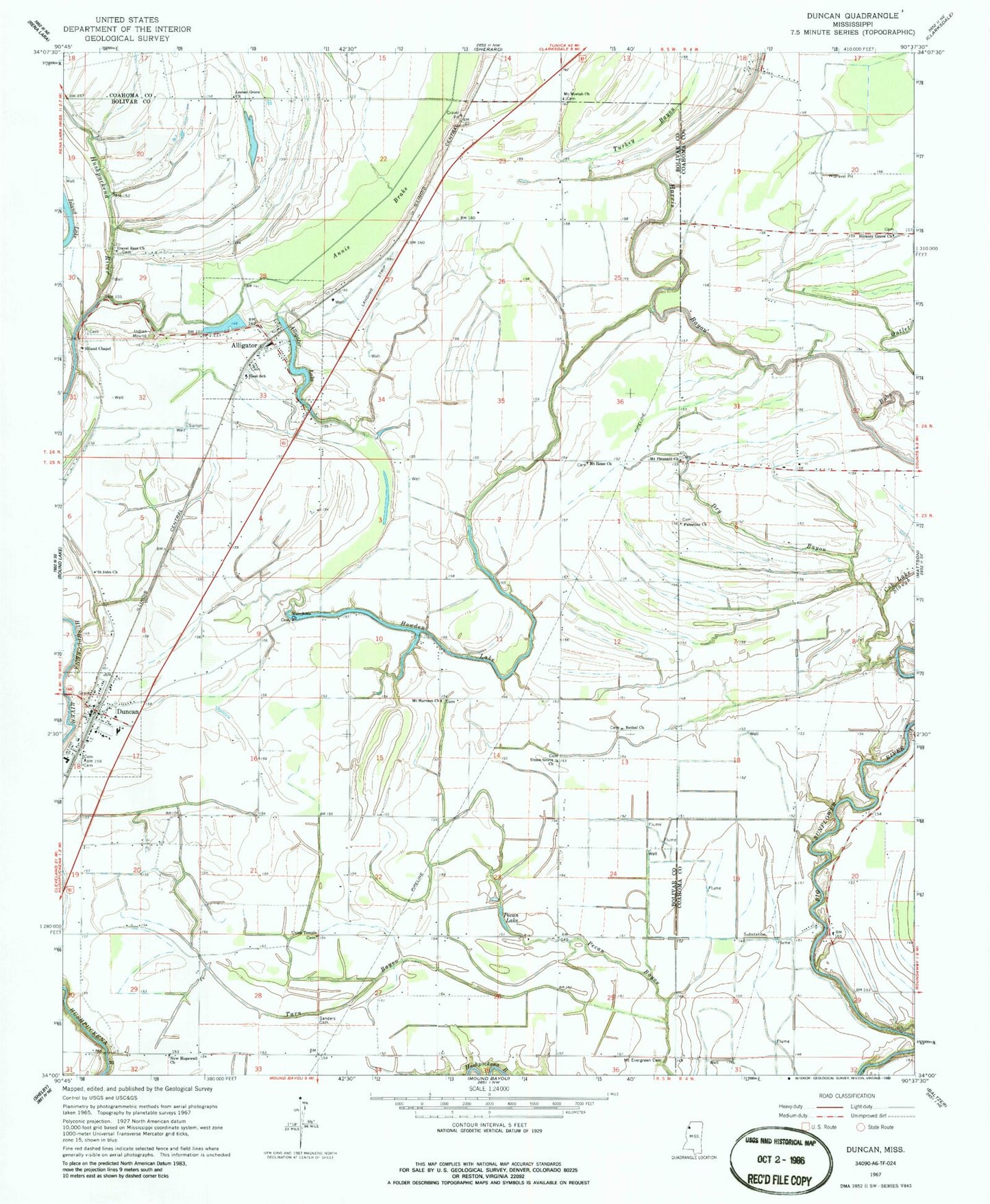
Historical USGS topographic quad map of Duncan in the state of Mississippi. Map scale may vary for some years, but is generally around 1:24,000. Print size is approximately 24" x 27"
This quadrangle is in the following counties: Bolivar, Coahoma.
The map contains contour lines, roads, rivers, towns, and lakes. Printed on high-quality waterproof paper with UV fade-resistant inks, and shipped rolled.
Contains the following named places: Africa, Alford Butler Lake Dam, Alligator, Alligator Bayou, Alligator Elementary School, Alligator Lake, Alligator Post Office, Bethel Church, Bobo Outlet, Brooks Elementary School, Cub Lake Slough, Dry Bayou, Duncan, Duncan Post Office, Emory Pond, Glidwell Flying Service, Hickory Grove Church, Howden Lake, Locust Grove Church, Macedonia Church, Mount Evergreen Cemetery, Mount Evergreen Church, Mount Harmon Cemetery, Mount Harmon Church, Mount Hope Church, Mount Moriah Church, Mount Olive Church, Mount Pleasant Church, New Hopewell Church, Niland Chapel, Palestine Church, Pecan Lake, Saint John Church, Sanders Cemetery, Sanders Chapel, Supervisor District 5, Town of Alligator, Town of Duncan, Travel Rest Church, Turkey Bayou, Turn Bayou, Union Grove Church, Union Temple, Union Temple Cemetery, Wildwood Plantation, Woodbine School, Yellow Bayou