MyTopo
Classic USGS Dundas Illinois 7.5'x7.5' Topo Map
Couldn't load pickup availability
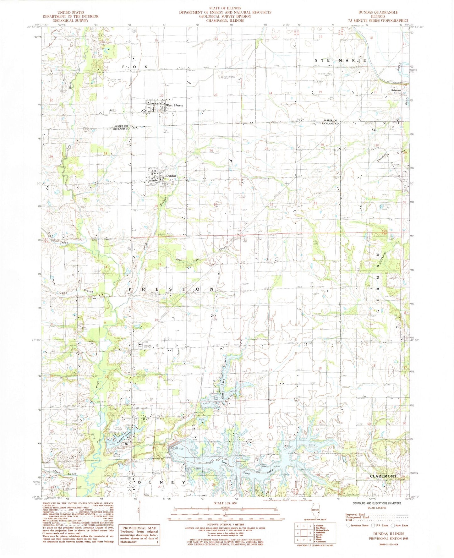
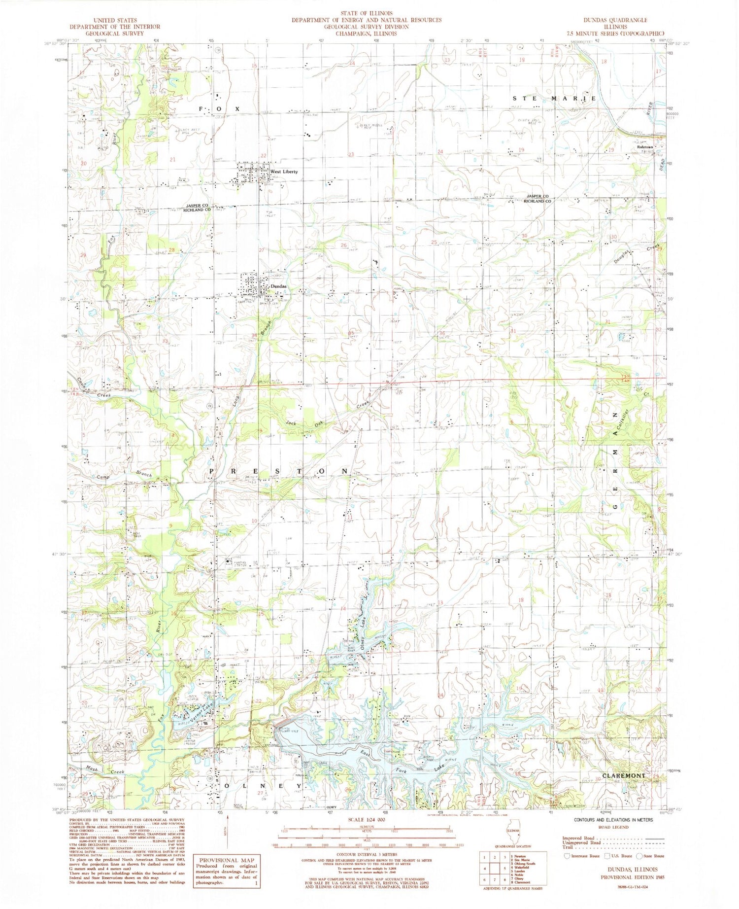
Historical USGS topographic quad map of Dundas in the state of Illinois. Typical map scale is 1:24,000, but may vary for certain years, if available. Print size: 24" x 27"
This quadrangle is in the following counties: Jasper, Richland.
The map contains contour lines, roads, rivers, towns, and lakes. Printed on high-quality waterproof paper with UV fade-resistant inks, and shipped rolled.
Contains the following named places: Bethel Cemetery, Camp Branch, Coon Creek, Dundas, East Fork Fox River, Eyer School (historical), Hinman School (historical), Jack Oak Creek, Leaf School (historical), Linder School (historical), Long Branch, Macksburg School (historical), Mash Creek, Oakdale School (historical), Raeftown, Saron Church, Stringtown Cemetery, Sylvan Iris School (historical), Vernor Lake, West Liberty, Richland Country Club, Township of Preston, M D Borah Lake Dam, M D Borah Lake, East Fork Lake Dam, East Fork Lake, Vernor Lake Dam, Webber Lake Dam, Webber Lake, West Liberty Post Office, Dundas Post Office, East Fork Lake, Olney Lake, Cemetery, Dundas Cemetery, McBurg Cemetery, Saint Pauls Lutheran Cemetery, Saron Cemetery, Clover Farms, Fox Creek Vineyards, Pilman's Farms, Dundas Census Designated Place, West Liberty Census Designated Place