MyTopo
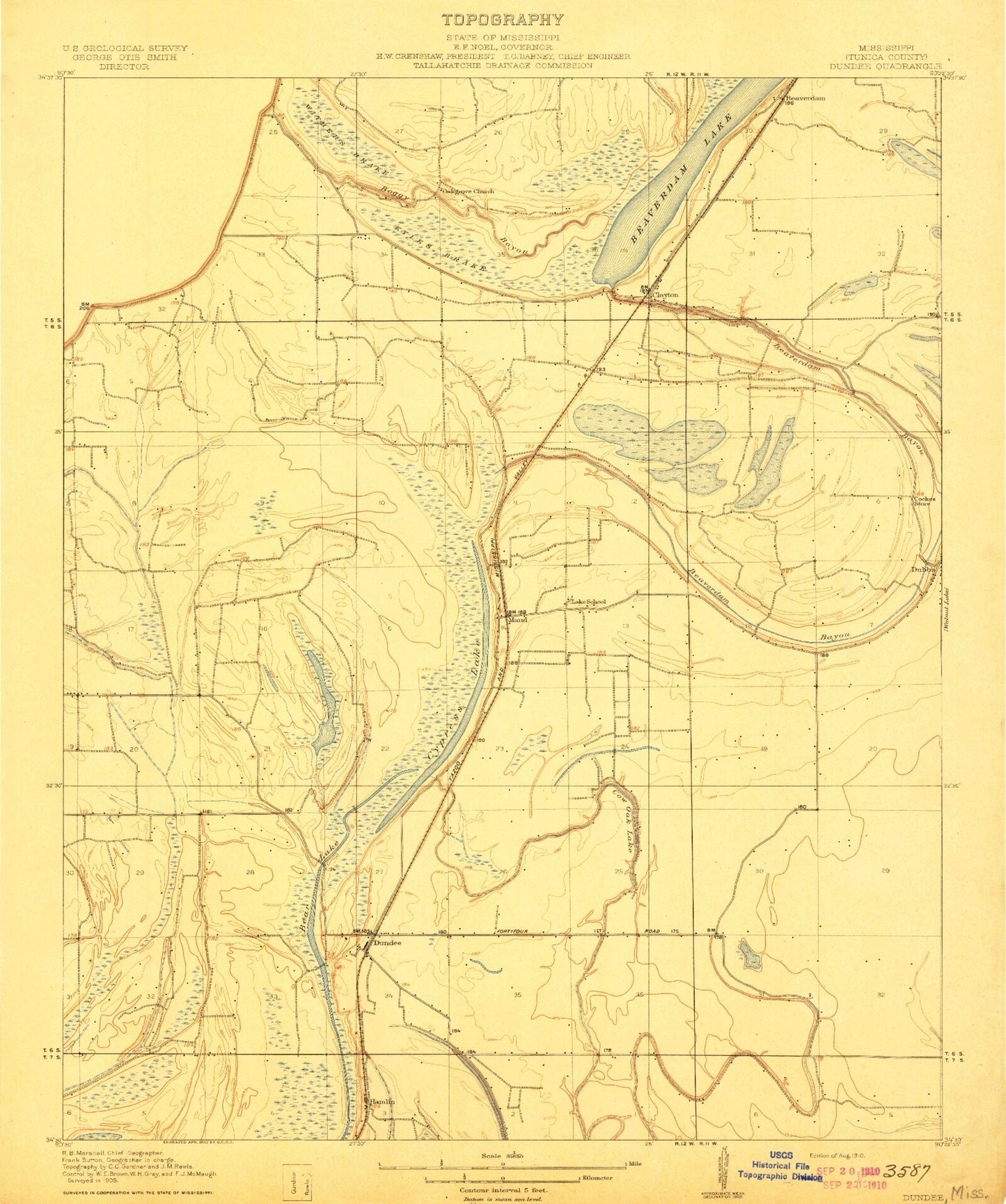
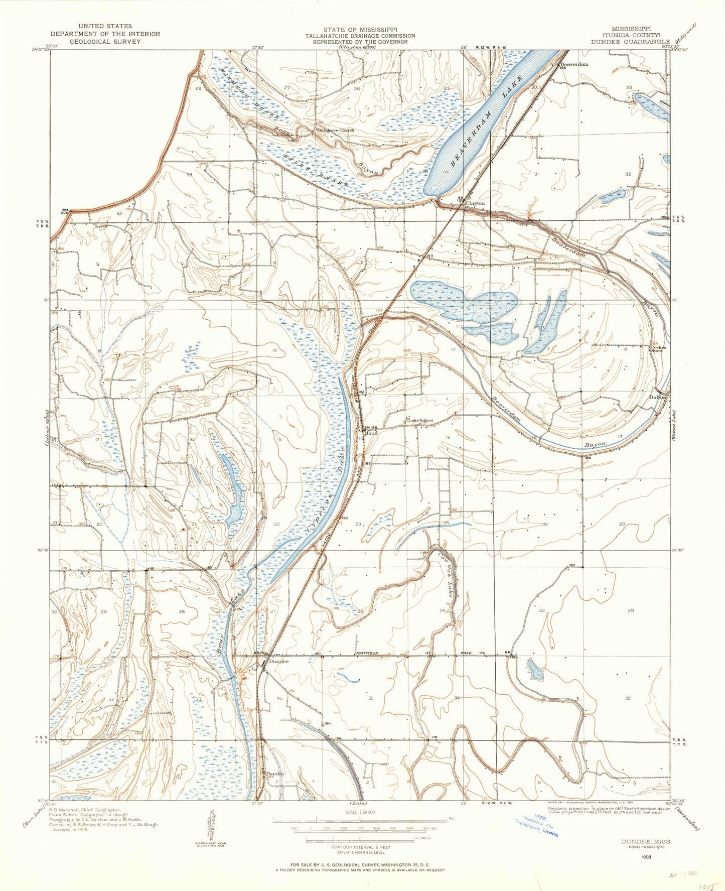
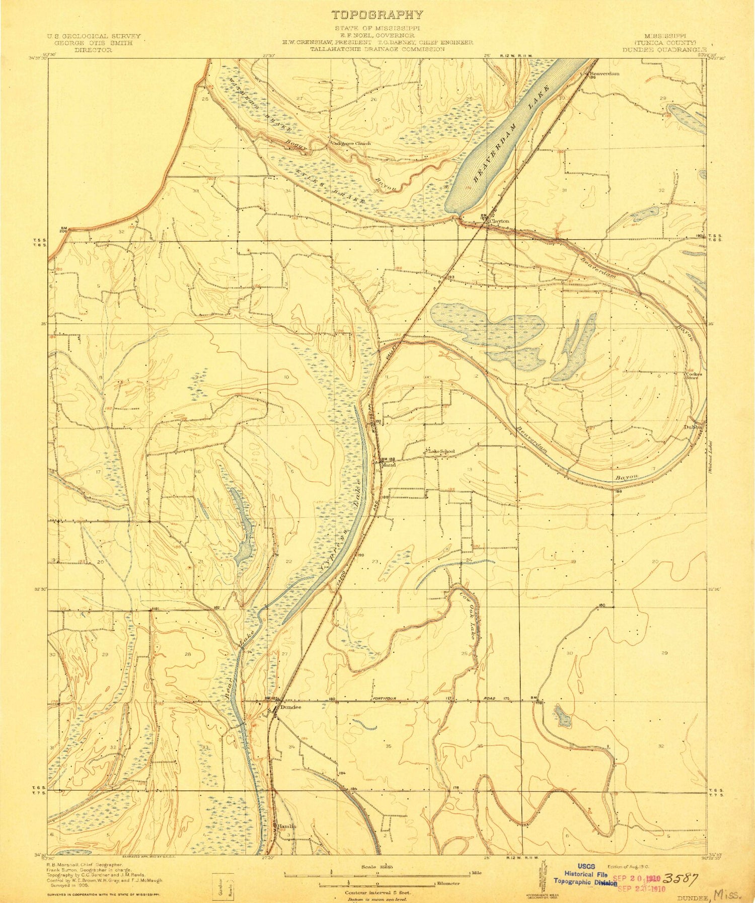
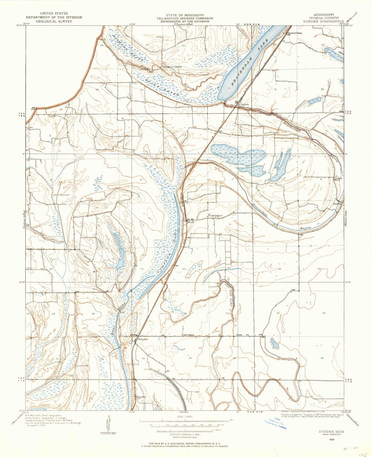
Classic USGS Dundee Mississippi 7.5'x7.5' Topo Map
Couldn't load pickup availability
Historical USGS topographic quad map of Dundee in the state of Mississippi. Map scale may vary for some years, but is generally around 1:24,000. Print size is approximately 24" x 27"
This quadrangle is in the following counties: Tunica.
The map contains contour lines, roads, rivers, towns, and lakes. Printed on high-quality waterproof paper with UV fade-resistant inks, and shipped rolled.
Contains the following named places: Bear Lake, Beaverdam, Beaverdam Bayou, Boggy Bayou, Bosket Cemetery, Boyd Brothers Catfish Ponds Dam, Bradley Cemetery, C H Block Catfish Ponds Dam, Clayton, Clayton School, Cow Oak Lake, Crews, Cypress Lake, Dowd Cemetery, Dowd School, Dundee, Dundee Census Designated Place, Dundee Post Office, Dundee School, E Justice Lake Dam, Friendship Church, Hamlin, Kyles Brake, Kyles Cemetery, Kyles Church, Lake School, Maud, Mitlon Boyd Catfish Pond Dam, Mount Olive Cemetery, Mount Olive Church, Mount Olive School, Mount Sinai Church, Mount Sinia Cemetery, Mount Zion Church, Oak Grove Church, Peters Rock Church, Peyton, Pleasant Grove Church, Rising Sun Cemetery, Rising Sun Church, S W Seabrook Catfish Ponds Dam, Sanders Church, Sandy Bayou, Supervisor District 5, Walton Cemetery, Walton Church, Withers Brake, Withers Church, Withers School, ZIP Code: 38626


