MyTopo
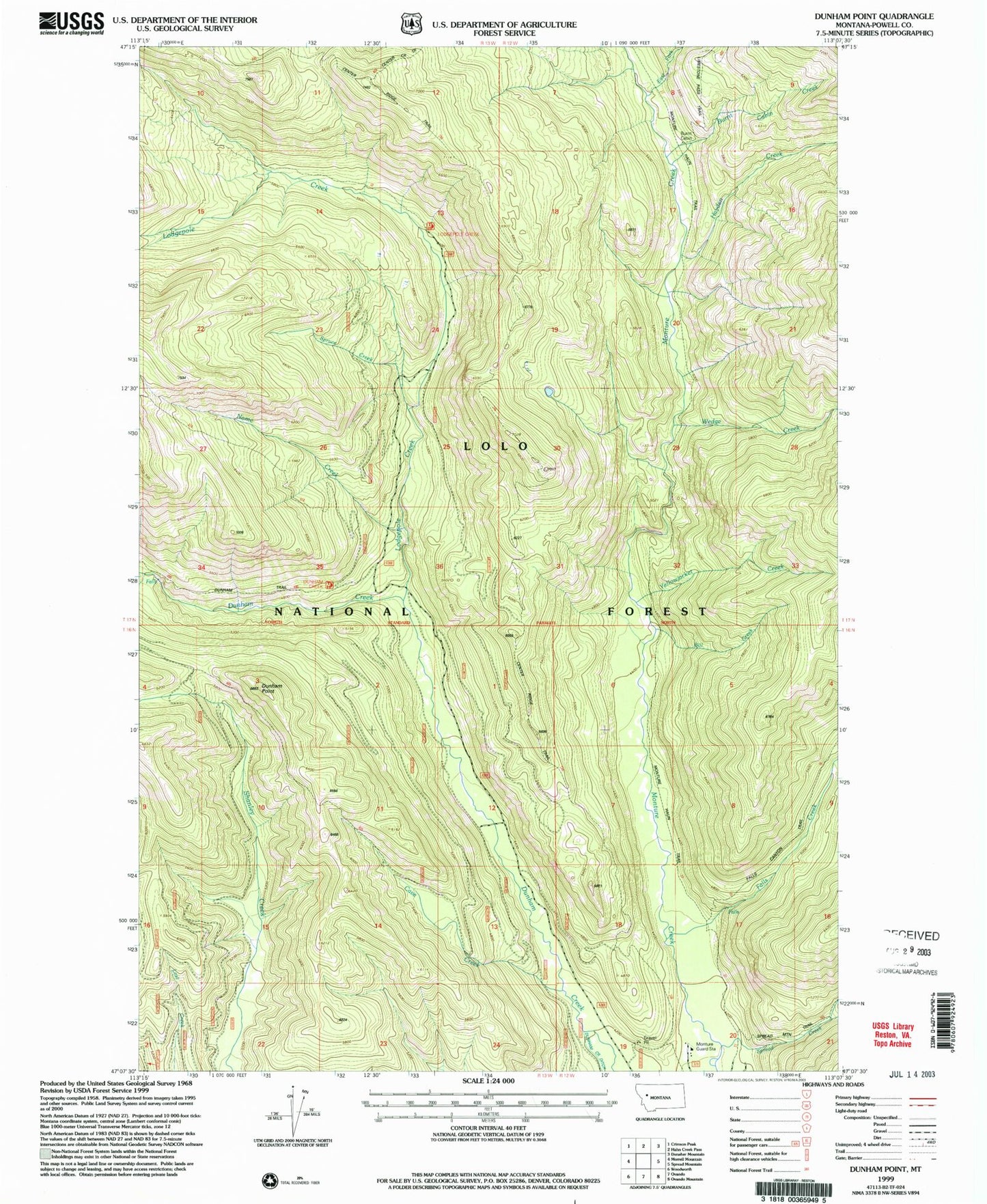
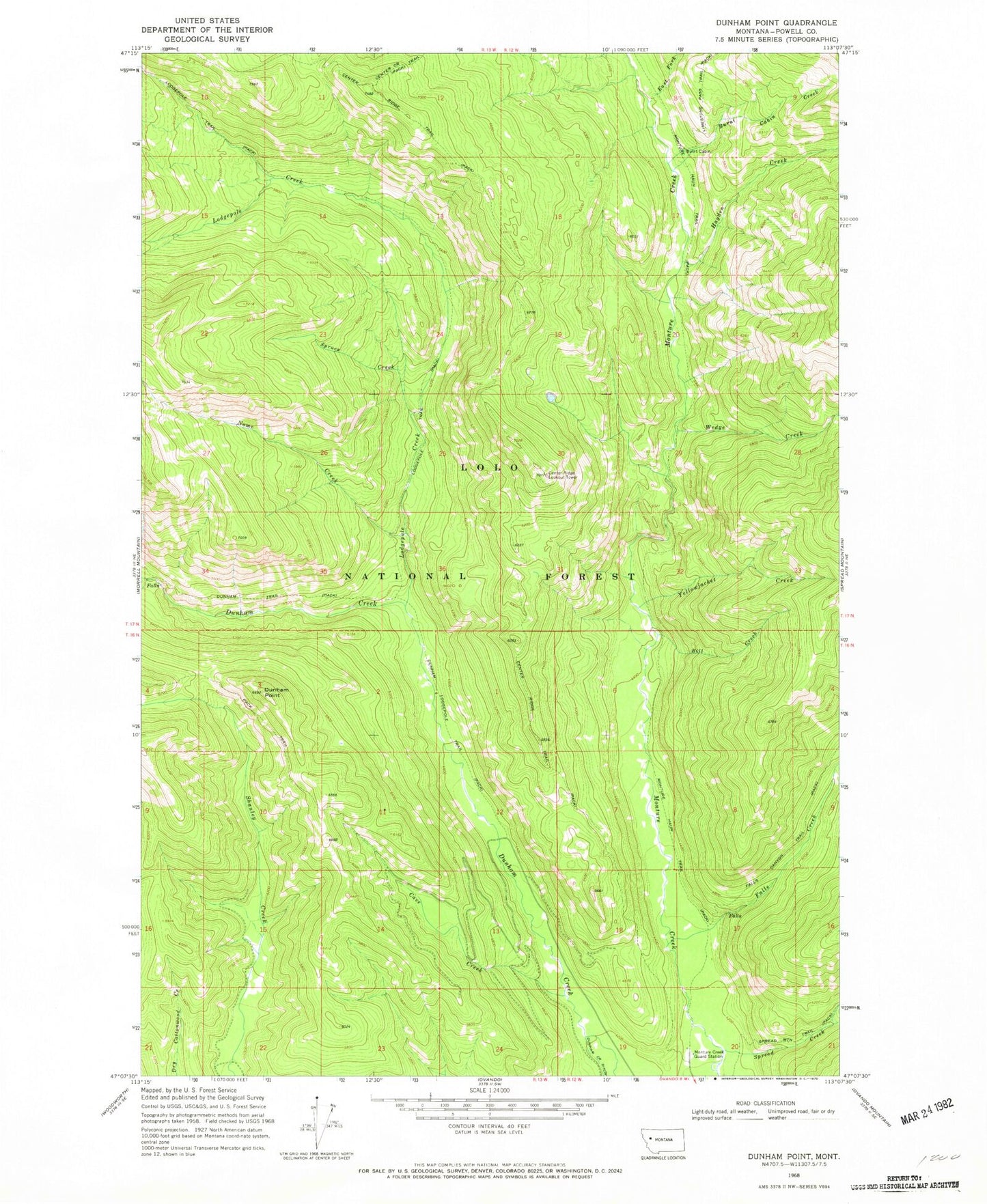
Classic USGS Dunham Point Montana 7.5'x7.5' Topo Map
Couldn't load pickup availability
Historical USGS topographic quad map of Dunham Point in the state of Montana. Map scale may vary for some years, but is generally around 1:24,000. Print size is approximately 24" x 27"
This quadrangle is in the following counties: Powell.
The map contains contour lines, roads, rivers, towns, and lakes. Printed on high-quality waterproof paper with UV fade-resistant inks, and shipped rolled.
Contains the following named places: 16N12W20CBBA01 Well, Bill Creek, Burnt Cabin, Burnt Cabin Creek, Cave Creek, Center Ridge Lookout Tower, Center Ridge Trail, Dunham Lodgepole Trail, Dunham Point, East Fork Monture Creek, East Fork Spread Creek, Falls Creek, Hayden Creek, Helmville Division, Lodgepole Creek, Lodgepole Trail, Monture Creek, Monture Creek Guard Station, Monture Creek Recreation Site, Monture Haun Trail, Nome Creek, Spread Creek, Spruce Creek, Wedge Creek, Yellowjacket Creek


