MyTopo
Classic USGS Dunn North Carolina 7.5'x7.5' Topo Map
Couldn't load pickup availability
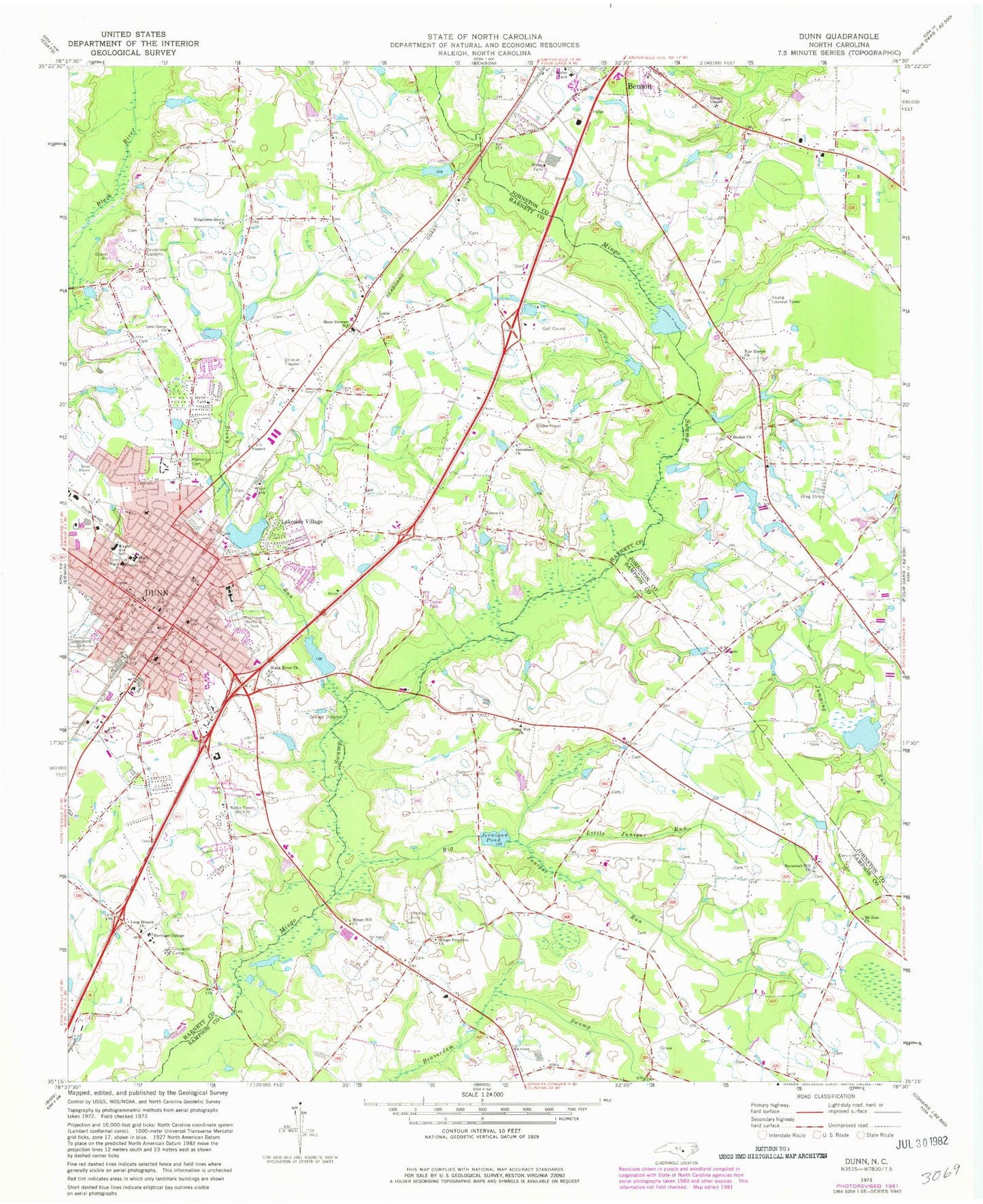
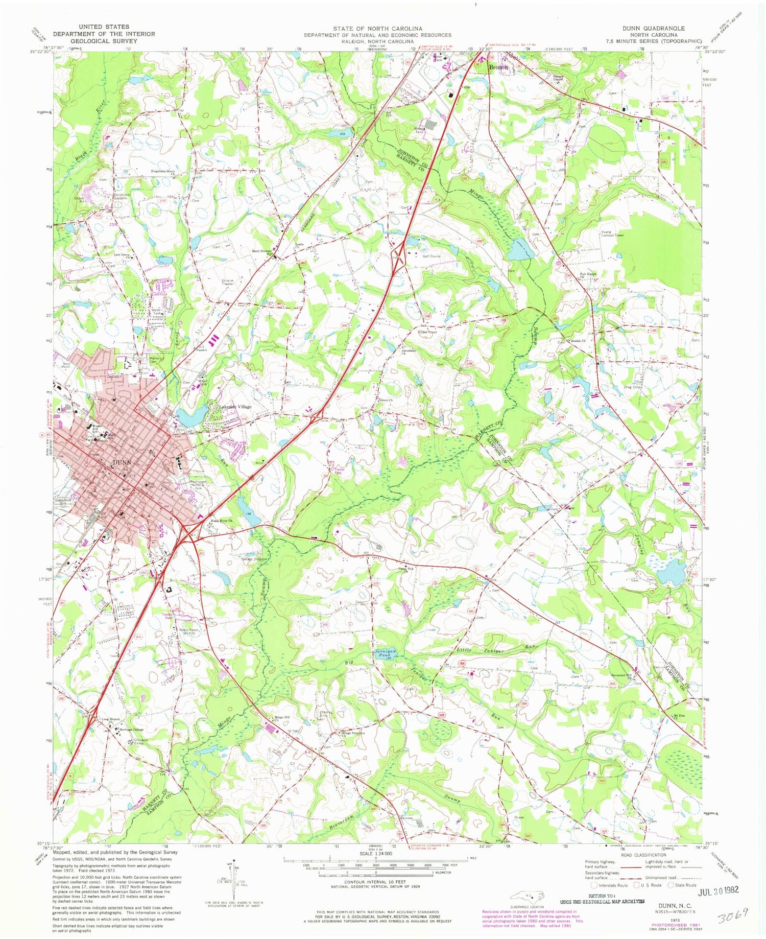
Historical USGS topographic quad map of Dunn in the state of North Carolina. Map scale may vary for some years, but is generally around 1:24,000. Print size is approximately 24" x 27"
This quadrangle is in the following counties: Harnett, Johnston, Sampson.
The map contains contour lines, roads, rivers, towns, and lakes. Printed on high-quality waterproof paper with UV fade-resistant inks, and shipped rolled.
Contains the following named places: Banner Chapel, Beulah Church, Big Juniper Run, Black River Church, City of Dunn, Crusader Camp, Divine Street United Methodist Church, Dunn, Dunn Emergency Services, Dunn Emergency Services Fire Department, Dunn Middle School, Dunn Plaza, Dunn Police Department, Dunn Post Office, Elmon Bridge, Fair Haven Church, First Baptist Church of Dunn, First Presbyterian Church, Floral Gardens Shopping Center, Godwins Lake, Godwins Lake Dam, Greenwood Cemetery, Grove Park, Grove Park Shopping Center, Hannas Lake, Hannas Lake Dam, Harnett Devotional Gardens, Harnett Primary School, Hayner Pond, Hayner Pond Dam, Heritage College, Hood Memorial Christian Church, Jernigan Pond, Jonesboro Church, Lakeside Village, Lees Grove Church, Leslie Church, Little Juniper Run, Long Branch Church, Mary Stewart School, McLambs Pond, McLambs Pond Dam, Mingo Bridge, Mingo Hill Church, Mingo Primitive Church, Mount Zion Church, National Estates Incorporated Airport, Neighbors Grove Church, North Clinton Avenue Baptist Church, Oakland School, Resthaven Memorial Park, Sacred Heart Catholic Church, Savannah Hill Church, Stony Run, Stony Run Church, Township of Averasboro, Tyler Park, Wayne Avenue School, Wayne Avenue Shopping Center, WCKB-AM (Dunn), Westhaven, WPYB-AM (Benson), Young Lookout Tower, ZIP Code: 28334


