MyTopo
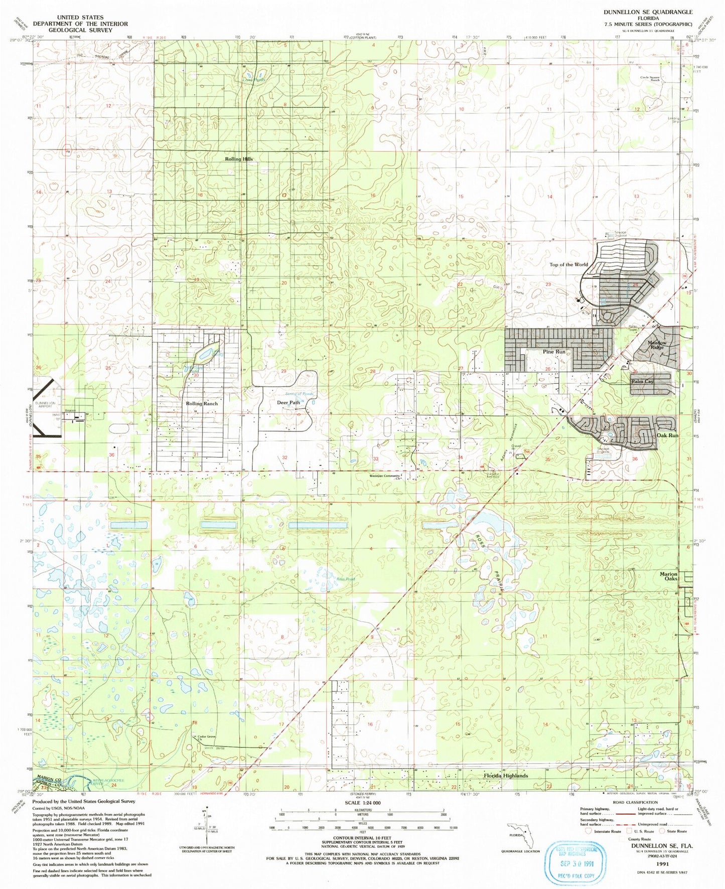
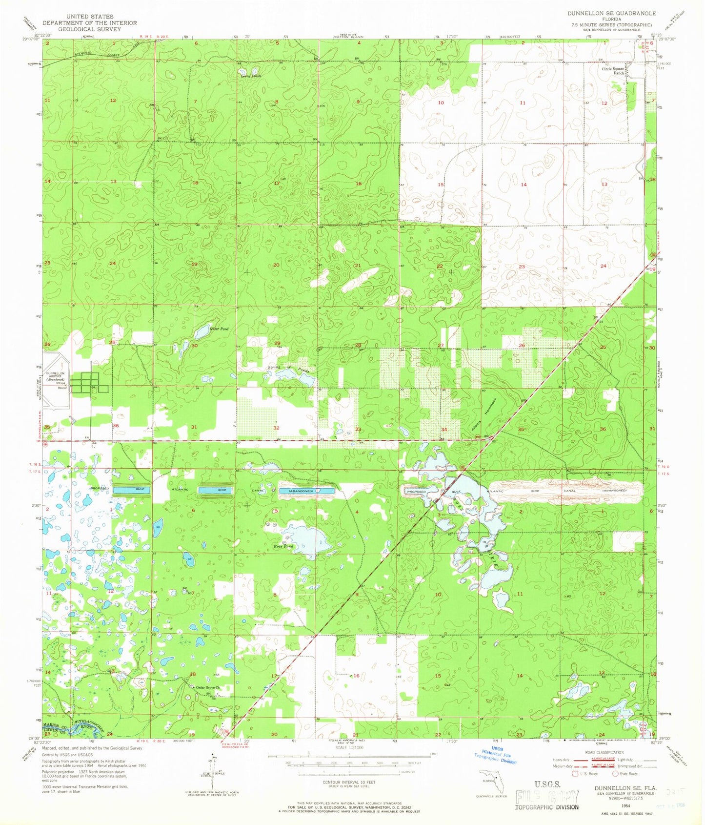
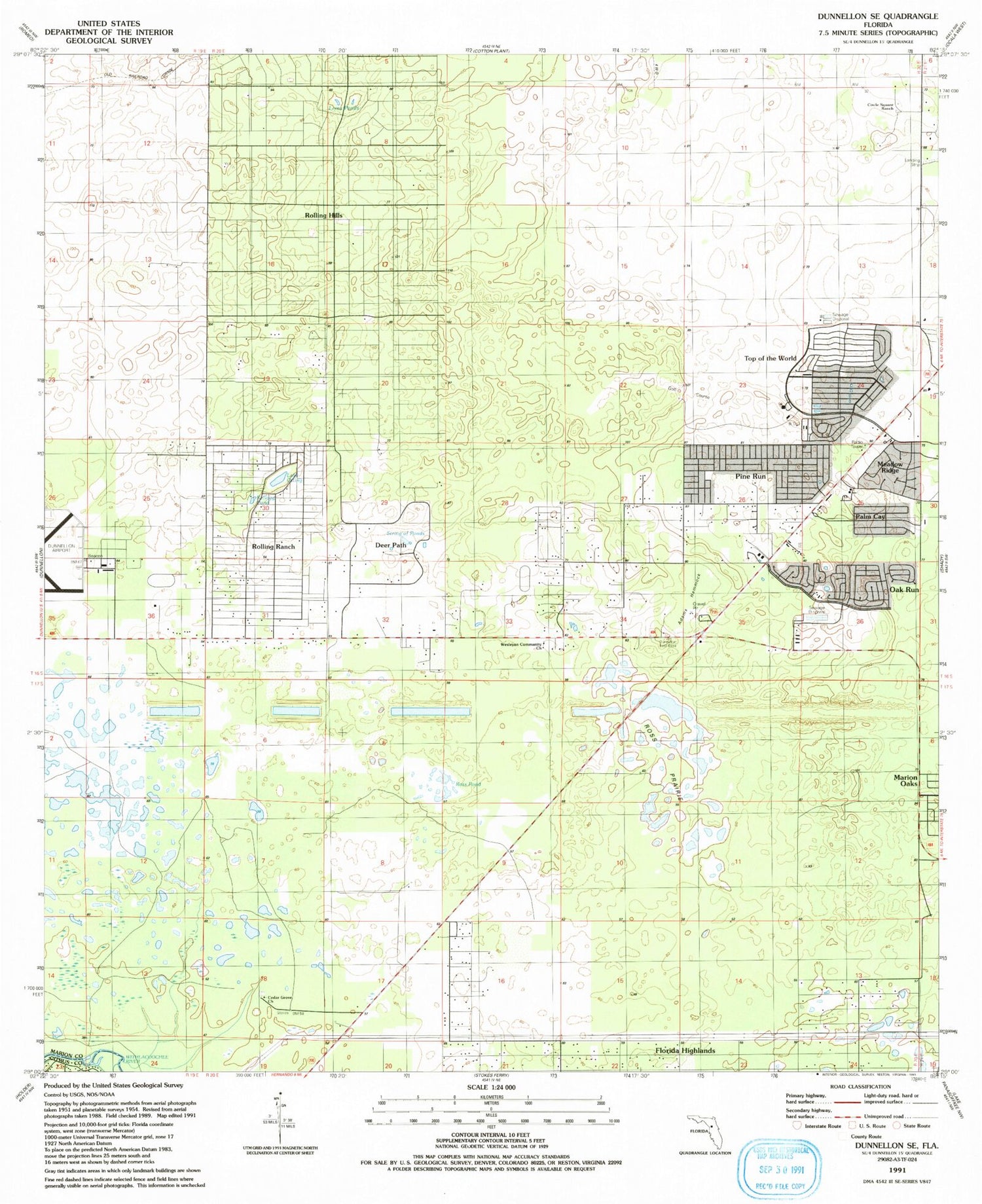
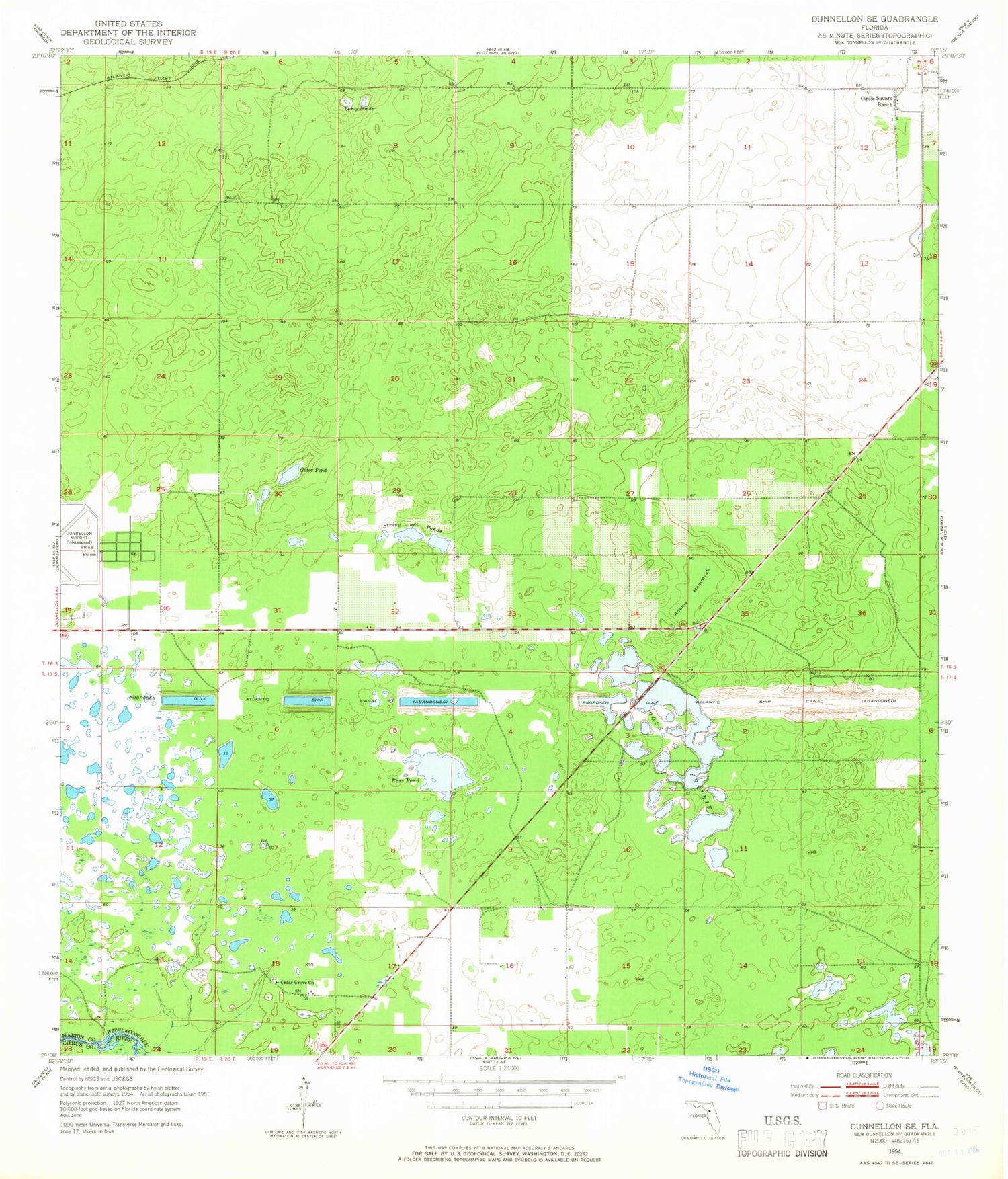
Classic USGS Dunnellon SE Florida 7.5'x7.5' Topo Map
Couldn't load pickup availability
Historical USGS topographic quad map of Dunnellon SE in the state of Florida. Map scale may vary for some years, but is generally around 1:24,000. Print size is approximately 24" x 27"
This quadrangle is in the following counties: Citrus, Marion.
The map contains contour lines, roads, rivers, towns, and lakes. Printed on high-quality waterproof paper with UV fade-resistant inks, and shipped rolled.
Contains the following named places: Adams Hammock, Airport Beacon Tower, Baby Gator Child Care, Cedar Grove Church, Christian Life Assembly of God, Circle Square Commons, Circle Square Ranch, Episcopal Church of the Advent, FAA Radio Control Tower, First Christian Church, First Christian Church of Dunnellon, Friendship Baptist Church, Lake Otting, Leroy Ponds, Living Water Wesleyan Church, Marion County Airport, Marion County Fire Rescue Station 21 Friendship, Marion County Fire Rescue Station 31, Marion County Sheriff's Office - Southwest District, Oak Run Water Tower, Oak Run Water Treatment Plant, Ocala West United Methodist Church, On Top of the World, On Top of the World Designated Place, Progress Energy Electric Substation, Progress Energy Electric Substation-Circle Square, Progress Energy Electric Substation-Ross Prairie, Rolling Hills, Rolling Ranches, Ross Pond, Ross Prairie, String of Ponds, Sumter Electric Cooperative Substation, Timber Ridge Community Center, Timber Ridge Community Church


