MyTopo
Classic USGS Dunnsville Virginia 7.5'x7.5' Topo Map
Couldn't load pickup availability
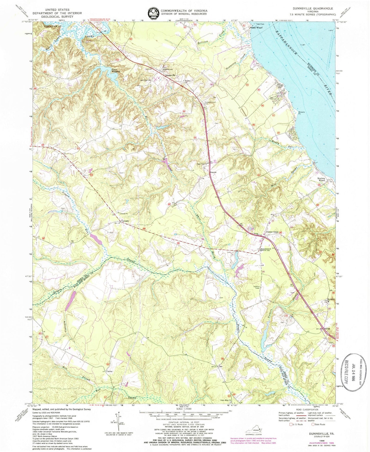
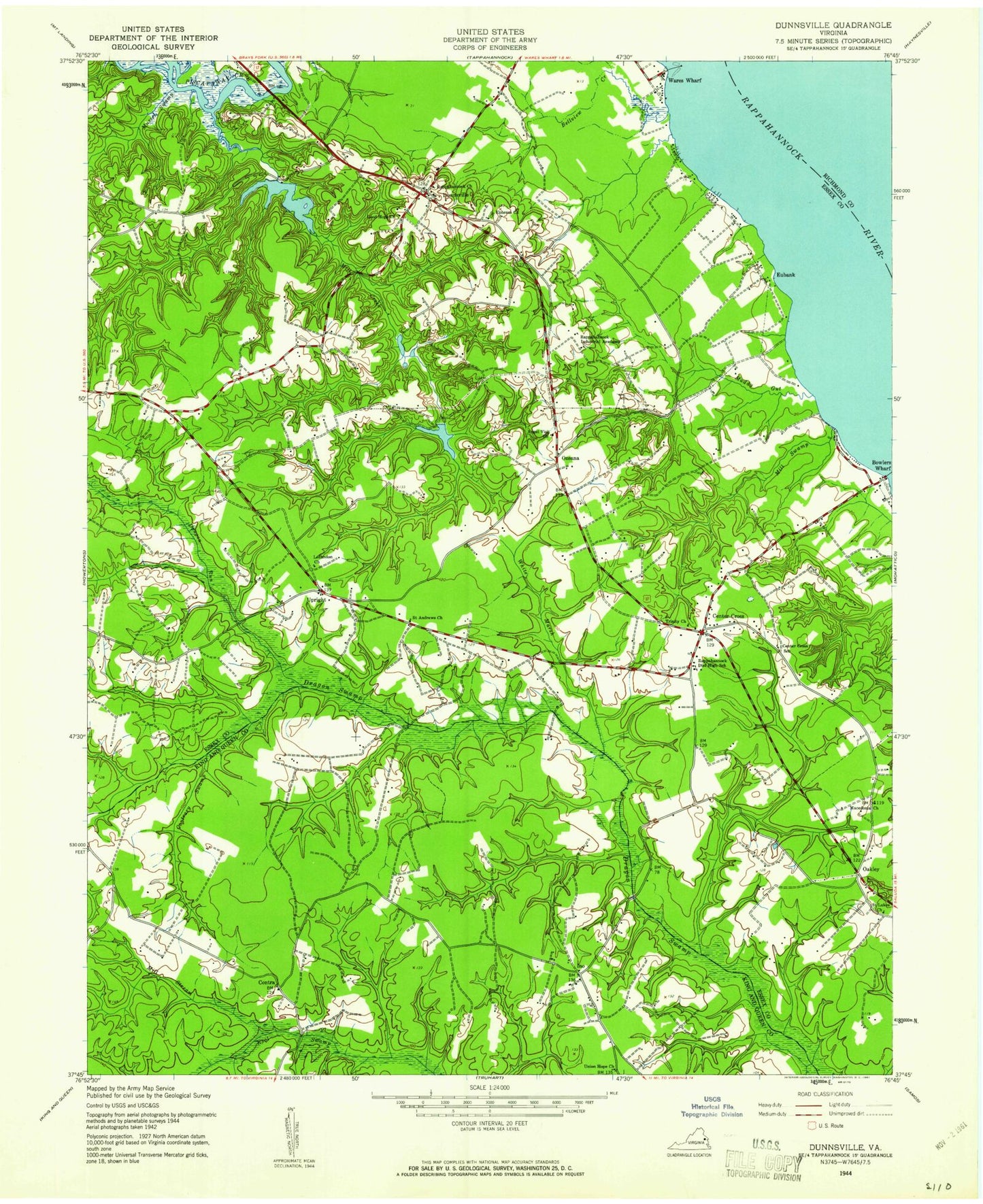
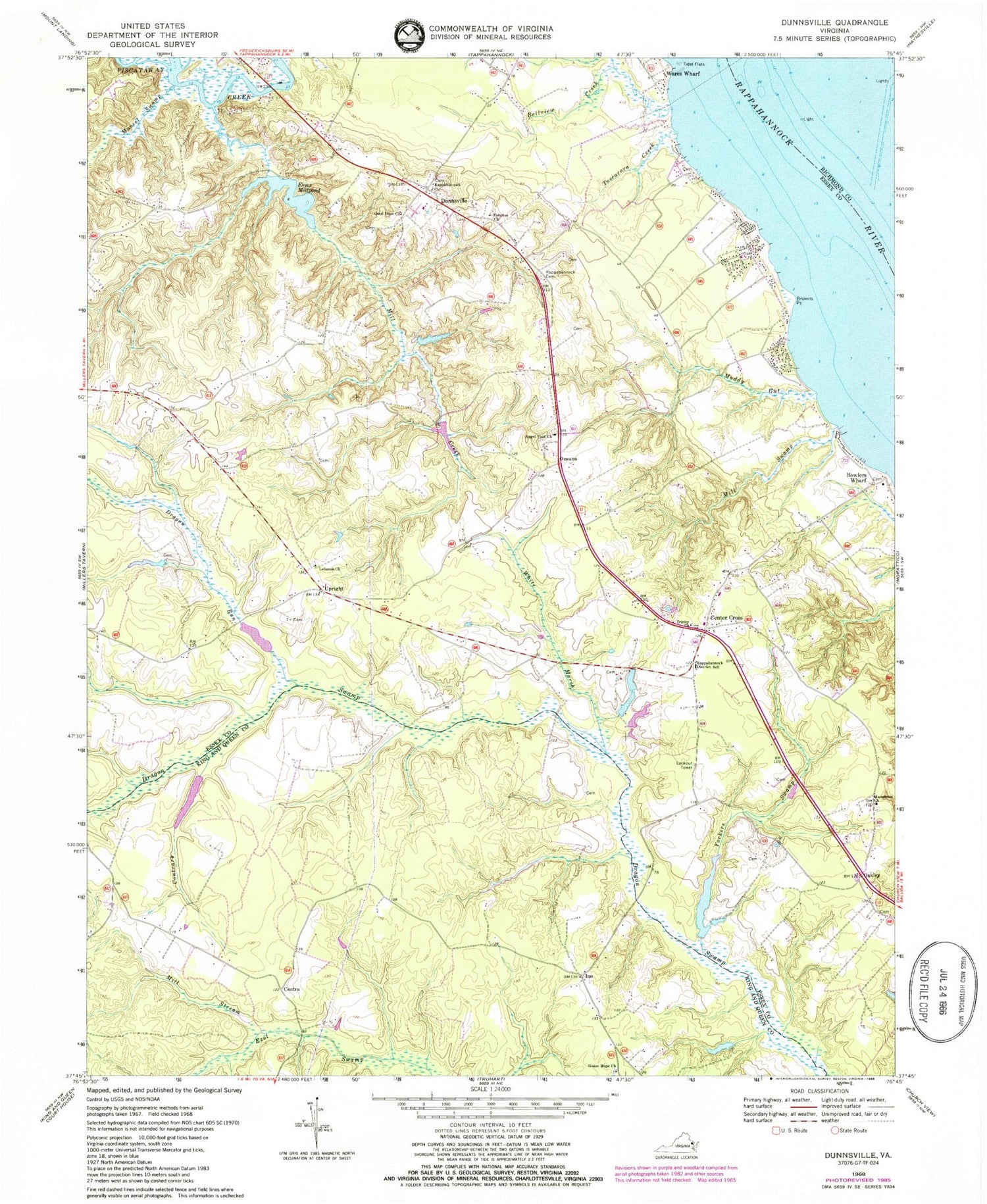
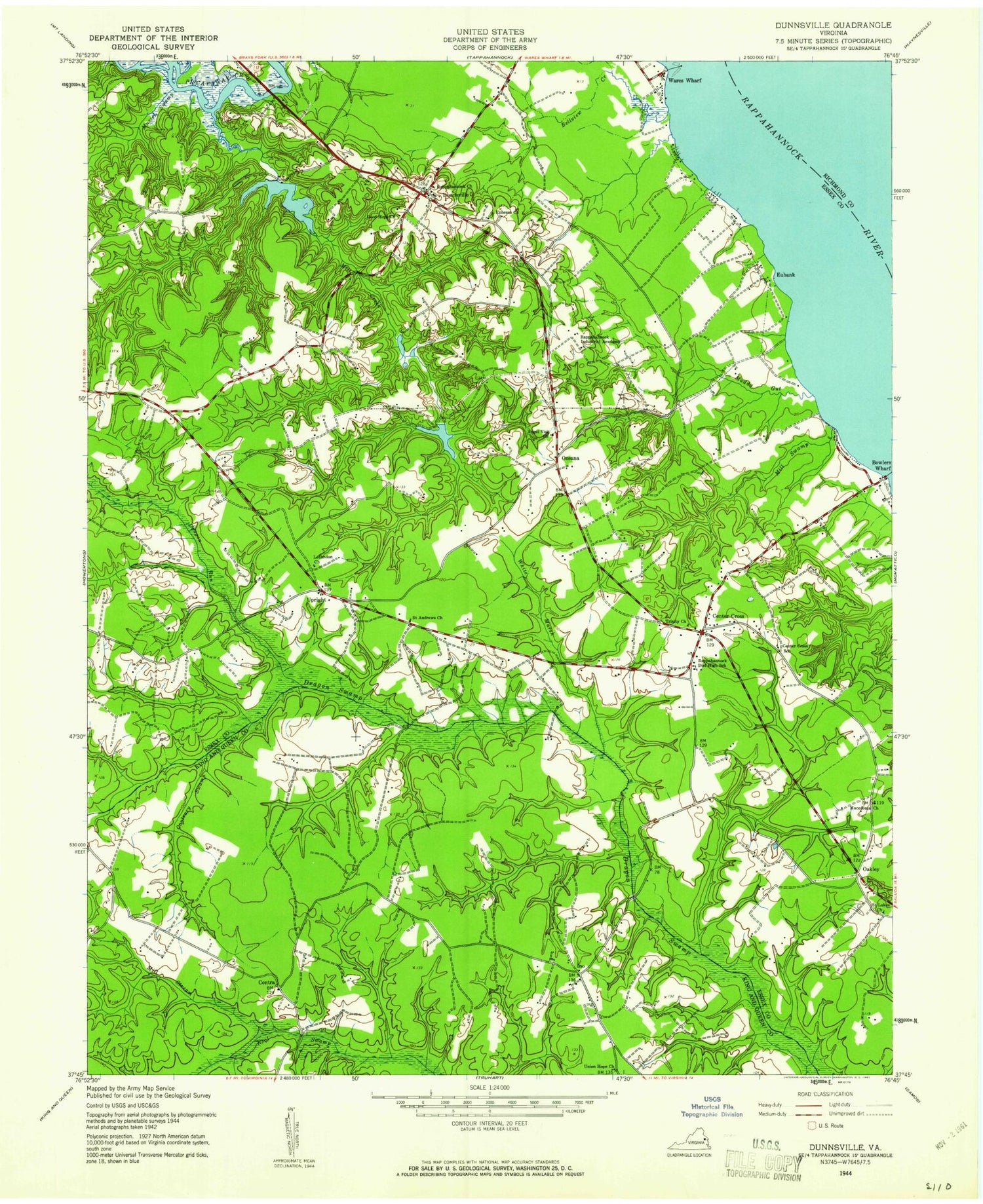
Historical USGS topographic quad map of Dunnsville in the state of Virginia. Typical map scale is 1:24,000, but may vary for certain years, if available. Print size: 24" x 27"
This quadrangle is in the following counties: Essex, King and Queen, Richmond.
The map contains contour lines, roads, rivers, towns, and lakes. Printed on high-quality waterproof paper with UV fade-resistant inks, and shipped rolled.
Contains the following named places: Angel Visit Church, Bellview Creek, Bowlers Wharf, Browns Point, Center Cross, Contrary Swamp, Dragon Run, Ephesus Church, Good Hope Church, Lebanon Church, Macedonia Church, Mill Creek, Mill Stream, Mill Swamp, Muddy Gut, Mussel Swamp, Rappahannock Cemetery, Rappahannock Church, Rappahannock District School, Yorkers Swamp, Trinity Church, Tuscarora Creek, Union Hope Church, White Marsh, Contra, Ino, Oakley, Upright, Mouth Bar, Eubank, Essex Mill Dam, Ware Dam, Hundley Dam, Rose Hill Dam, Rose Hill Pond, Wyatts Dam, Dew Dam, Dew Pond, Dunnsville, Ozeana, Wares Wharf, Essex Millpond, Byrds Bridge, Center Cross School (historical), Essex Mill (historical), Marry Gold Plantation, Merryvayle Creek, North Branch Beaverdam Swamp, Poplar Swamp, Rappahannock Independent Academy (historical), Saint Andrews Church (historical), Saint Lukes Church (historical), Smith and Rices Mill (historical), Stiffs Mill (historical), Wares Mill (historical), Waterview Plantation (historical), South District, Tappahannock - Essex Volunteer Fire Department Station 2, Dunnsville Post Office, Union Hope Baptist Church, Center Cross Church of God, Miller Greenhouses, Center Cross Post Office


