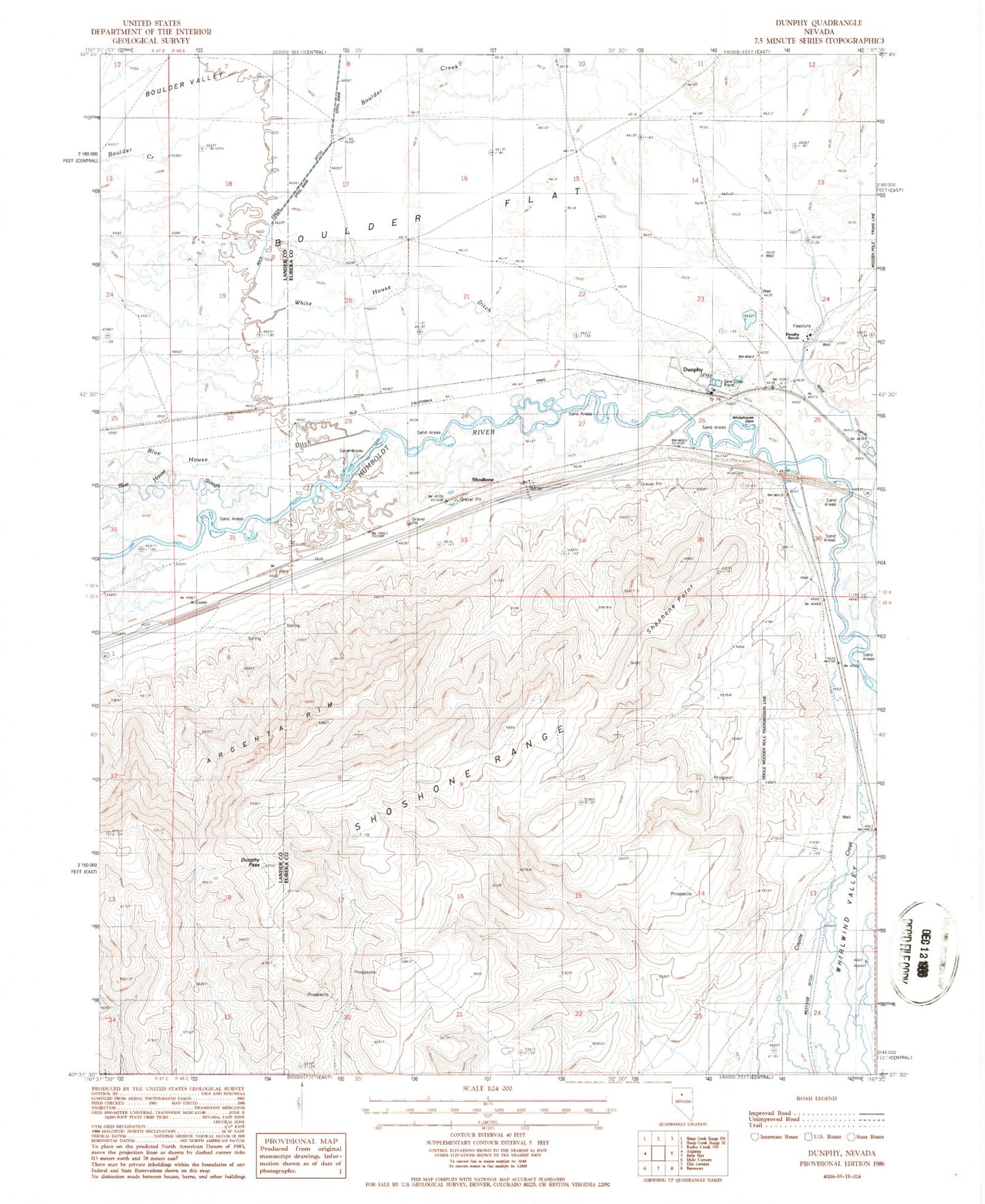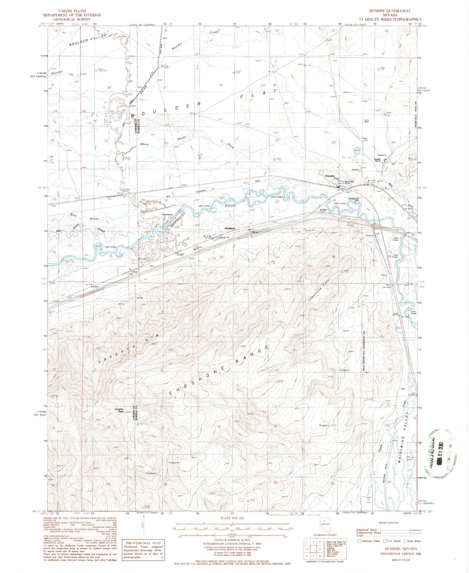
MyTopo
Classic USGS Dunphy Nevada 7.5'x7.5' Topo Map
Couldn't load pickup availability
Historical USGS topographic quad map of Dunphy in the state of Nevada. Map scale may vary for some years, but is generally around 1:24,000. Print size is approximately 24" x 27"
This quadrangle is in the following counties: Eureka, Lander.
The map contains contour lines, roads, rivers, towns, and lakes. Printed on high-quality waterproof paper with UV fade-resistant inks, and shipped rolled.
Contains the following named places: Argenta Rim, Blue House Dam, Boulder Flat, Coyote Creek, Dunphy, Dunphy Pass, Dunphy Post Office, Dunphy Ranch, Dunphy Ranch Landing Strip, Dunphy Volunteer Fire Department, Ferrel Station, Ladoga, Old California Trail, Rixies, Rock Creek Ditch, Rose Canal, Rose Dam, Route of California Trail, Shoshone, Shoshone Point, Whitehouse Dam