MyTopo
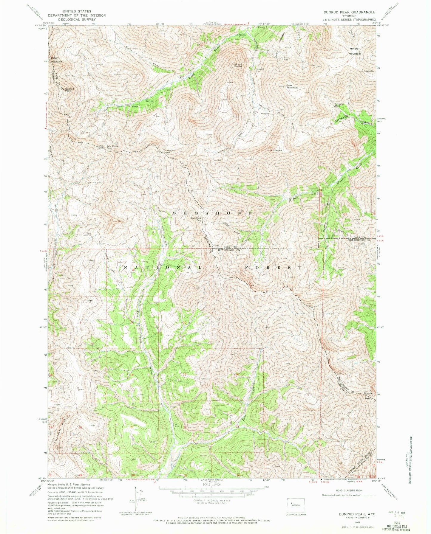
Classic USGS Dunrud Peak Wyoming 7.5'x7.5' Topo Map
Couldn't load pickup availability
Historical USGS topographic quad map of Dunrud Peak in the state of Wyoming. Typical map scale is 1:24,000, but may vary for certain years, if available. Print size: 24" x 27"
This quadrangle is in the following counties: Fremont, Hot Springs, Park.
The map contains contour lines, roads, rivers, towns, and lakes. Printed on high-quality waterproof paper with UV fade-resistant inks, and shipped rolled.
Contains the following named places: Bald Mountain, Bear Creek Pass, Bryan Mine, Cascade Creek, Cascade Creek Trail, Coal Chute Pass, County Peak, Dunrud Peak, East Fork East Fork Wind River, East Fork Pass, Mineral Mountain, Name Creek, Ninemile Trail, Pickwick Mine, Smuggler Gulch Trail, Smuggler Mine, Mount Sniffel, Spar Mountain, Steamboat Rock, Tumlum Mine, Absaroka Trail, East Fork Trail, Horse Creek, Wolf Shaft, Kirwin District Mine, Kirwin Mine


