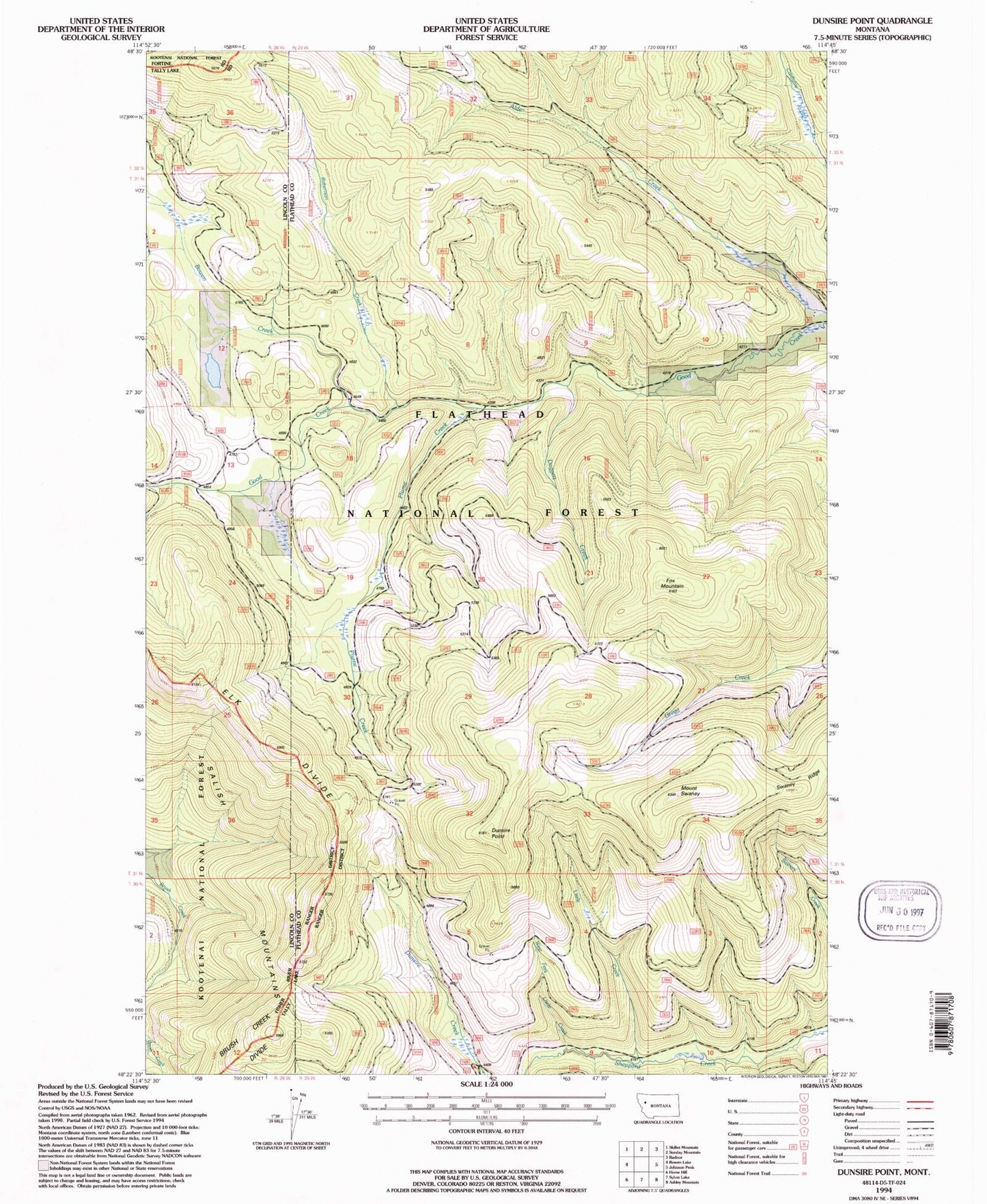
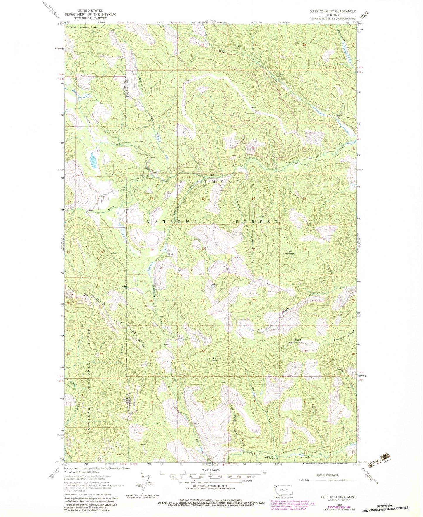
MyTopo
Classic USGS Dunsire Point Montana 7.5'x7.5' Topo Map
Regular price
$16.95
Regular price
Sale price
$16.95
Unit price
per
Couldn't load pickup availability
Historical USGS topographic quad map of Dunsire Point in the state of Montana. Map scale may vary for some years, but is generally around 1:24,000. Print size is approximately 24" x 27"
This quadrangle is in the following counties: Flathead, Lincoln.
The map contains contour lines, roads, rivers, towns, and lakes. Printed on high-quality waterproof paper with UV fade-resistant inks, and shipped rolled.
Contains the following named places: Bowen Creek, Brush Creek Divide, Daggett Creek, Dunsire Point, Elk Mountain National Recreation Trail, Fox Mountain, Listle Creek, Mount Swaney, Plume Creek, Robertson Creek, Swaney Ridge, West Fork Listle Creek