MyTopo
Classic USGS Dunsmuir California 7.5'x7.5' Topo Map
Couldn't load pickup availability
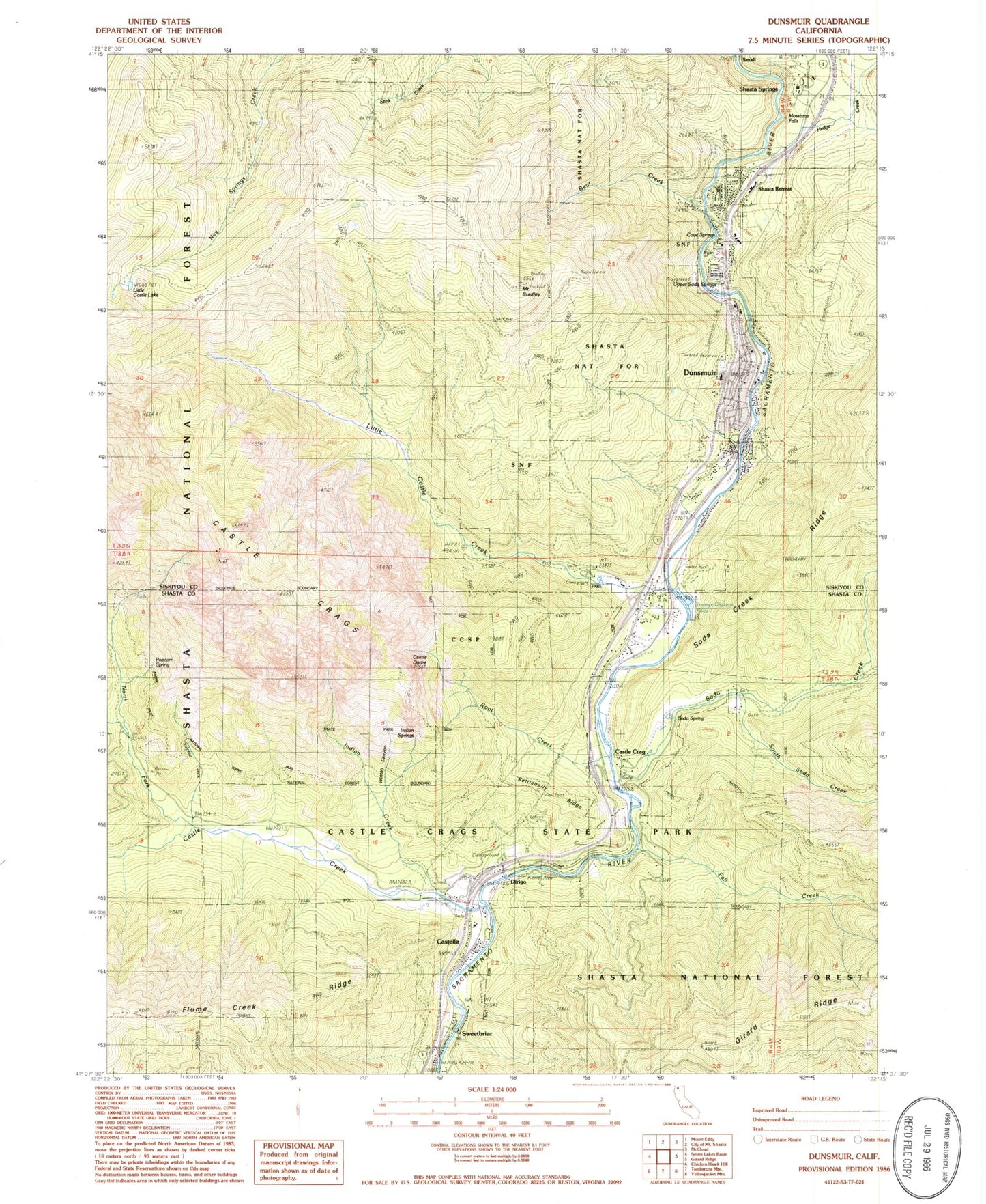
Historical USGS topographic quad map of Dunsmuir in the state of California. Typical map scale is 1:24,000, but may vary for certain years, if available. Print size: 24" x 27"
This quadrangle is in the following counties: Shasta, Siskiyou.
The map contains contour lines, roads, rivers, towns, and lakes. Printed on high-quality waterproof paper with UV fade-resistant inks, and shipped rolled.
Contains the following named places: Bear Creek, Mount Bradley, Castella, Castle Crags, Castle Crags State Park, Castle Creek, Castle Creek Campground, Castle Lake Trail, Castle Rock Elementary School, Fall Creek, Hedge Creek, Indian Creek, Kettlebelly Ridge, Little Castle Creek, Little Castle Lake, Mossbrae Falls, North Fork Castle Creek, Root Creek, Shasta Springs, Small, Soda Creek, Soda Spring, South Soda Creek, Sulphur Creek, Winton Canyon, Girard Lookout, Dunsmuir, Castle Crag, Dirigo, Shasta Retreat, Sweetbriar, Cave Springs, Dunsmuir Post Office, Upper Soda Springs, Castle Dome, Indian Springs, Popcorn Spring, Crags Trail, Indian Creek Trail, River Trail, Root Creek Trail, Soda Springs, Dunsmuir Branch Siskiyou County Public Library, Dunsmuir Elementary School, Dunsmuir High School, Dunsmuir Division, Dunsmuir Cemetery, Assembly of God Church of Dunsmuir, Church of Christ, Saint Johns Catholic Church, Castle Crags Post Office (historical), City of Dunsmuir, Riverwood Mobile Home Estates, Dunsmuir - Castella Fire Department, Castella Fire Protection District, Siskiyou County Sheriff's Office Dunsmuir, Siskiyou Police Department, Castella Post Office, Castella Census Designated Place


