MyTopo
Classic USGS Duplisse Creek North Montana 7.5'x7.5' Topo Map
Regular price
$16.95
Regular price
Sale price
$16.95
Unit price
per
Couldn't load pickup availability
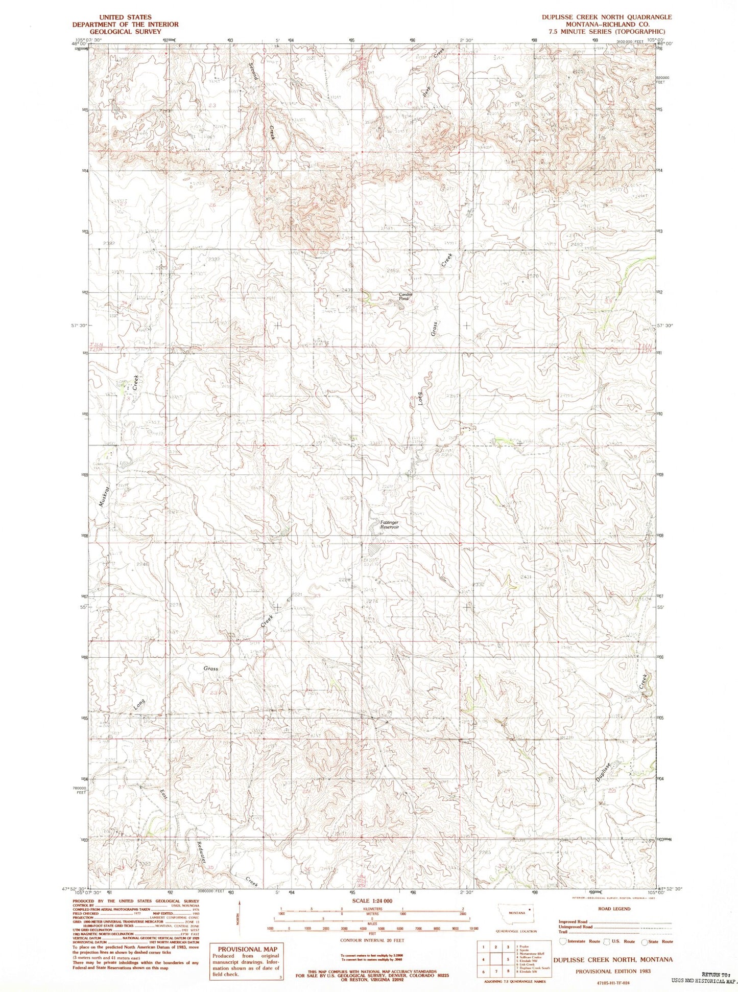
Historical USGS topographic quad map of Duplisse Creek North in the state of Montana. Map scale may vary for some years, but is generally around 1:24,000. Print size is approximately 24" x 27"
This quadrangle is in the following counties: Richland.
The map contains contour lines, roads, rivers, towns, and lakes. Printed on high-quality waterproof paper with UV fade-resistant inks, and shipped rolled.
Contains the following named places: 14N53E04CCCA01 Well, 25N52E05CCAC01 Well, 25N52E18BCDA01 Well, 25N52E30D___01 Well, 26N51E34ADDD01 Well, Cactus Ridge, Candee Pond, Fatzinger Reservoir, Gidley Post Office, Zinger Number 1 Dam