MyTopo
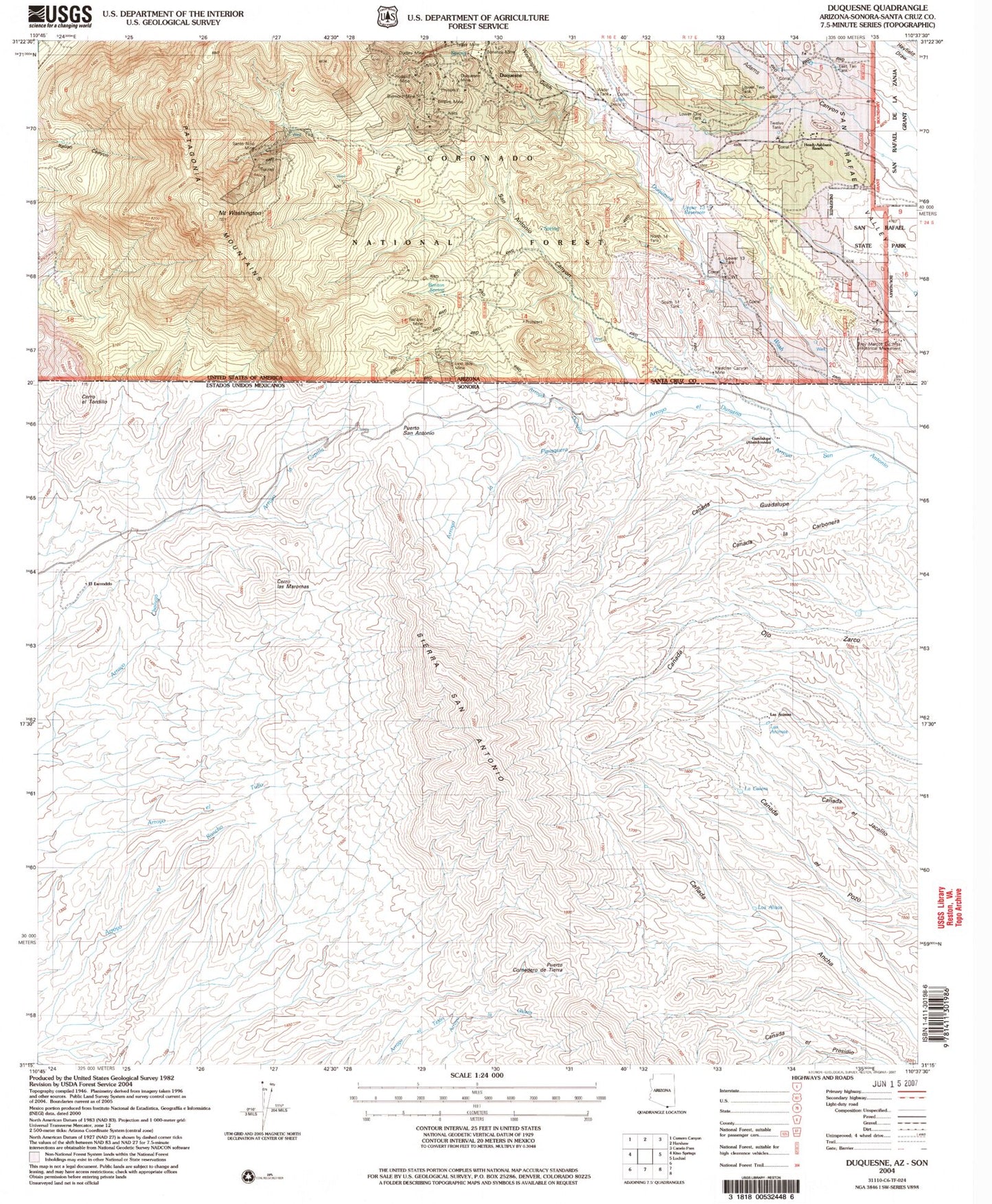
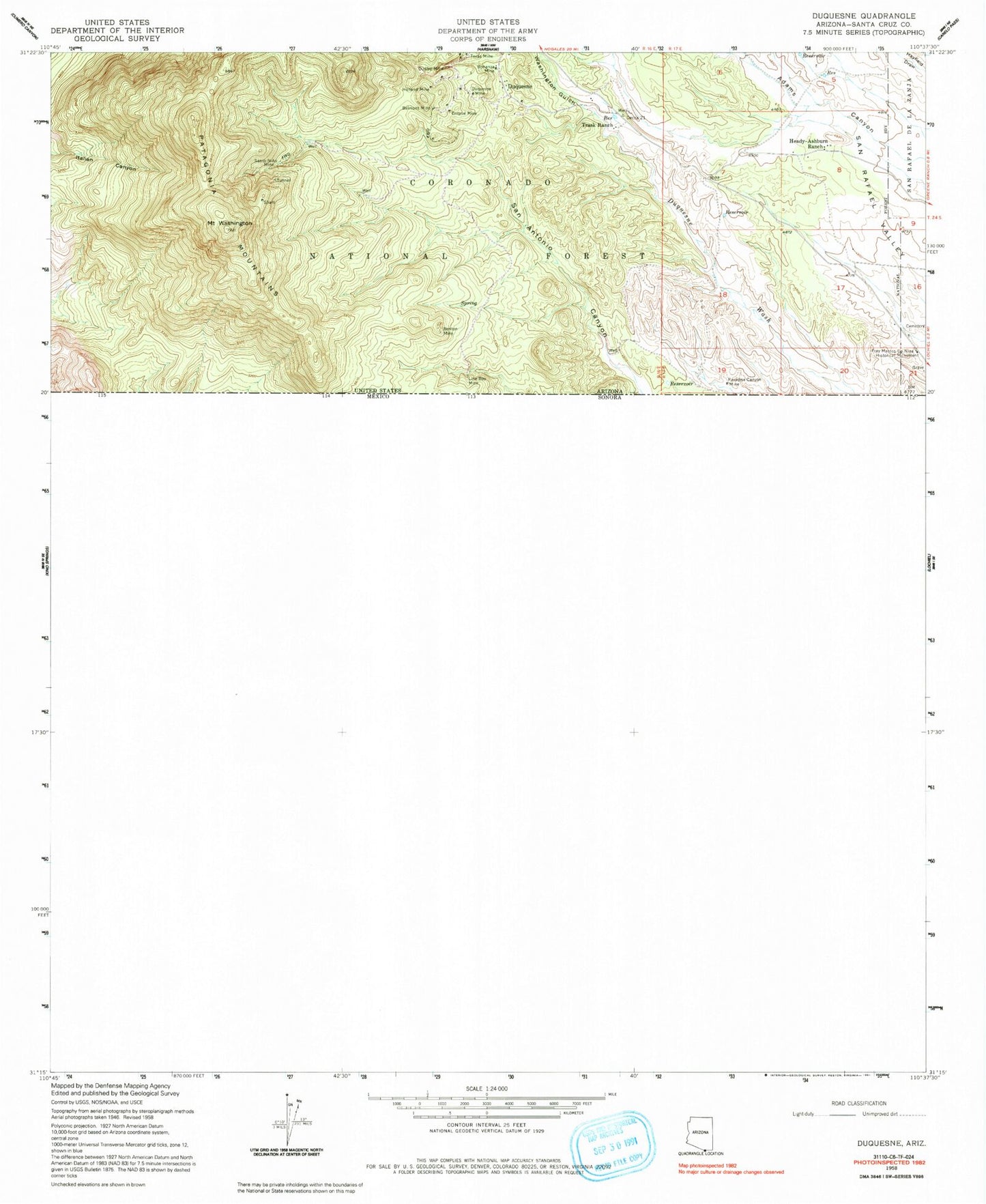
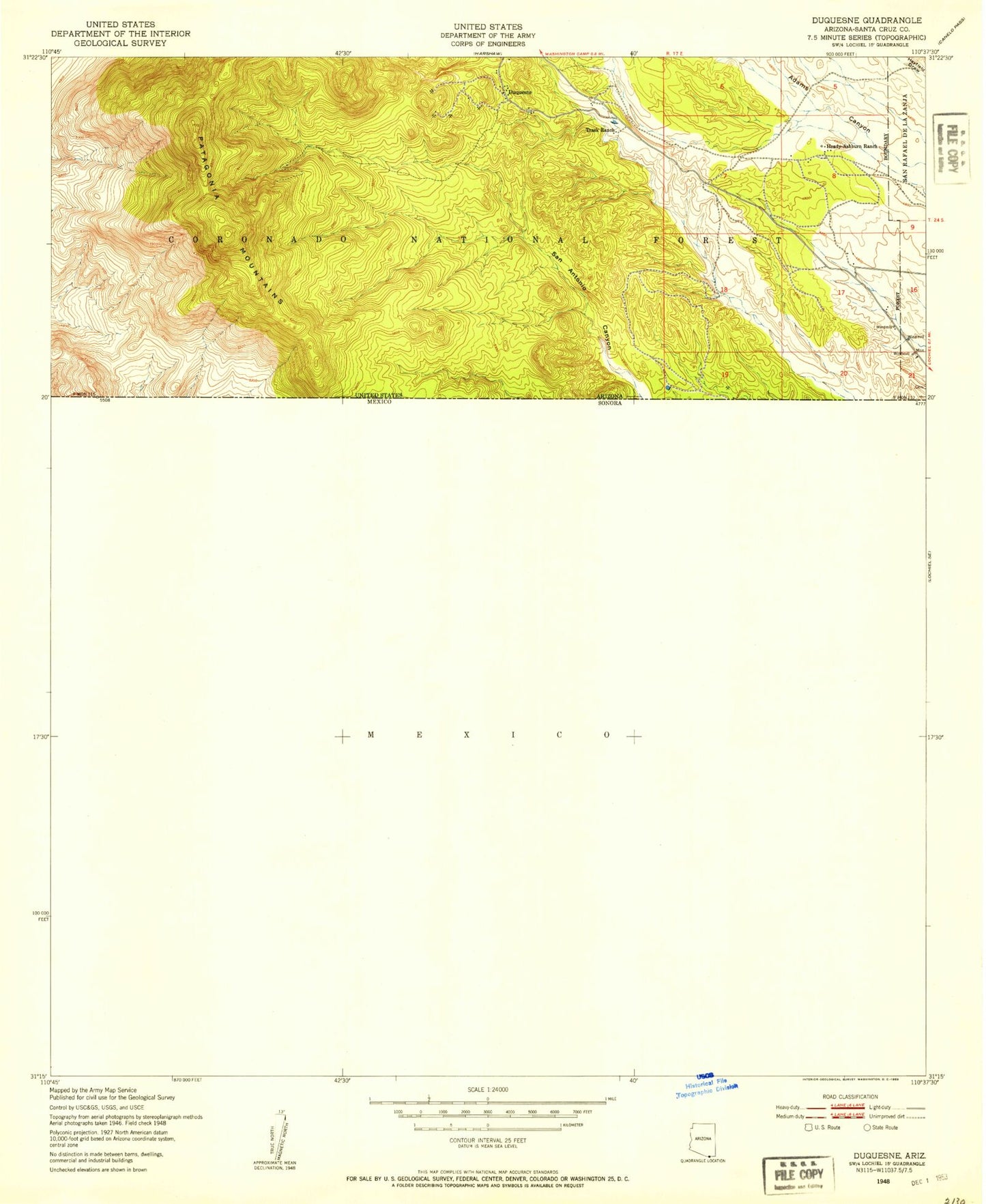
Classic USGS Duquesne Arizona 7.5'x7.5' Topo Map
Couldn't load pickup availability
Historical USGS topographic quad map of Duquesne in the state of Arizona. Map scale may vary for some years, but is generally around 1:24,000. Print size is approximately 24" x 27"
This quadrangle is in the following counties: Santa Cruz.
The map contains contour lines, roads, rivers, towns, and lakes. Printed on high-quality waterproof paper with UV fade-resistant inks, and shipped rolled.
Contains the following named places: Antonio Canyon, Antonio Tank, Belmont Mine, Benches Spring, Benton Mine, Benton Spring, Bonanza Mine, Callahan Corral, Dudley Mine, Duquesne, Duquesne Corral, Duquesne Mine, East Ten Tank, Empire Mine, Everett Windmill, Fray Marcos de Niza Historical Monument, Government Corral, Heady-Ashburn Ranch, Holland Mine, Line Boy Mine, Line Boy Spring, Lower One Tank, Lower Thirteen Tank, Lower Three Tank, Lower Two Tank, Mount Washington, North Fourteen Tank, North Tank, Paradise Canyon Mine, Patagonia Mountains, San Antonio Canyon, San Rafael State Park, Santa Nino Corral, Santo Nino Mine, South Fourteen Tank, Texas Mine, Trask Ranch, Twelve Tank, Upper One Tank, Upper Thirteen Tank, Washington Gulch