MyTopo
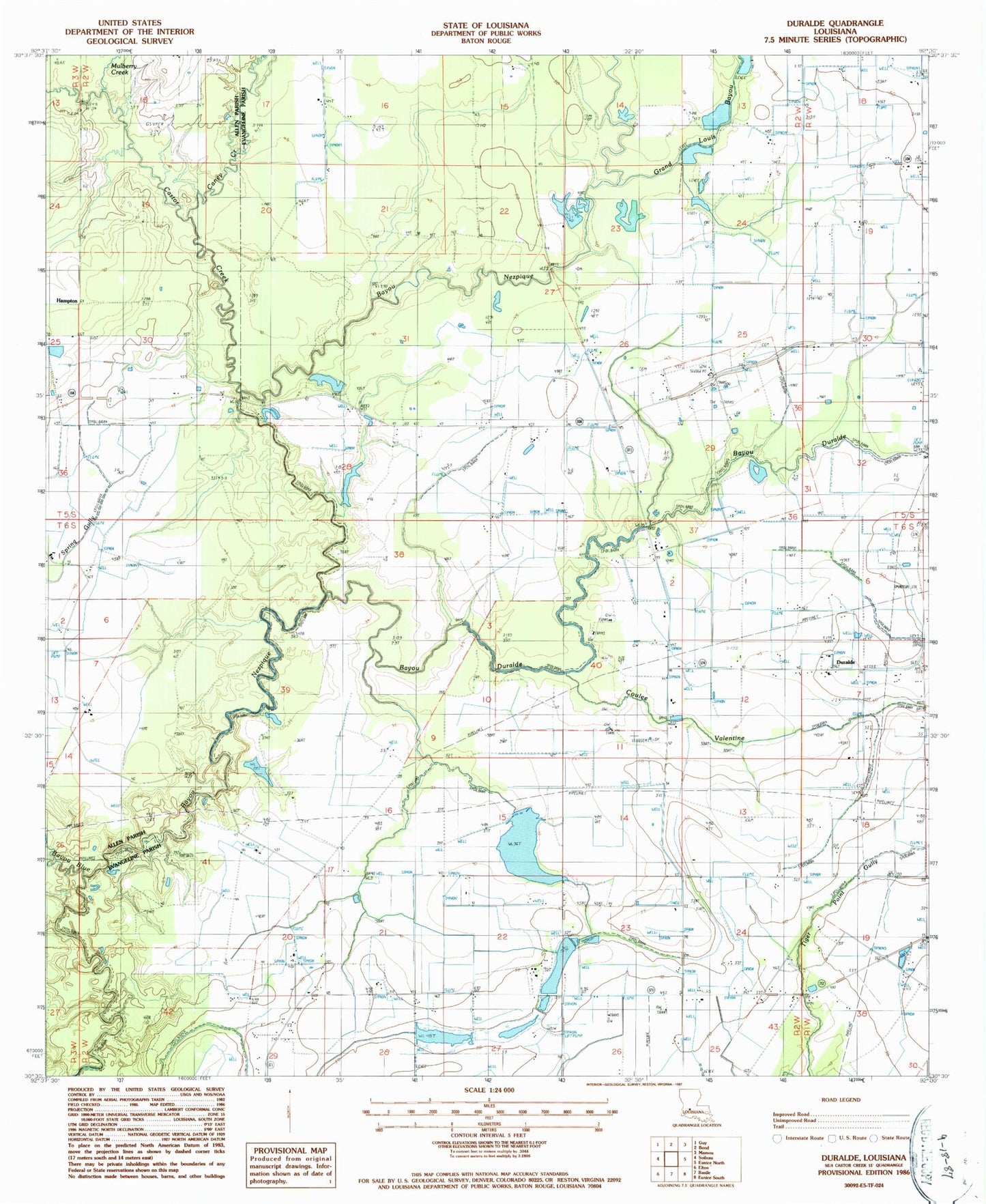
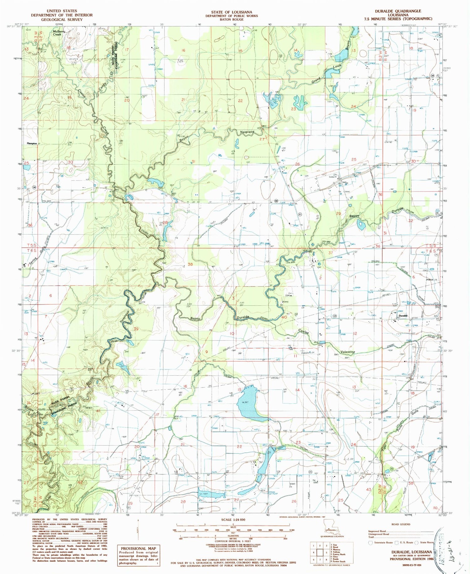
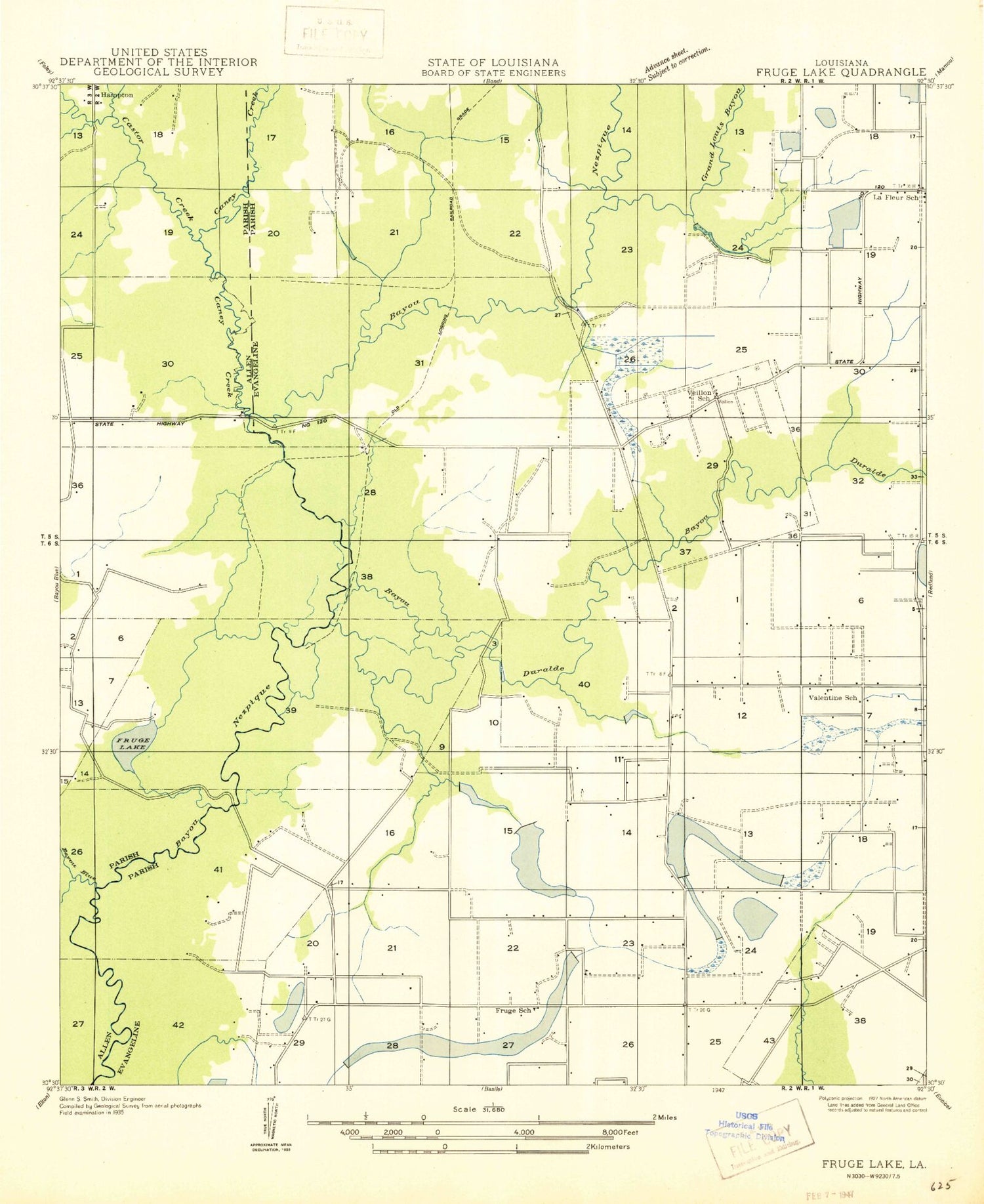
Classic USGS Duralde Louisiana 7.5'x7.5' Topo Map
Couldn't load pickup availability
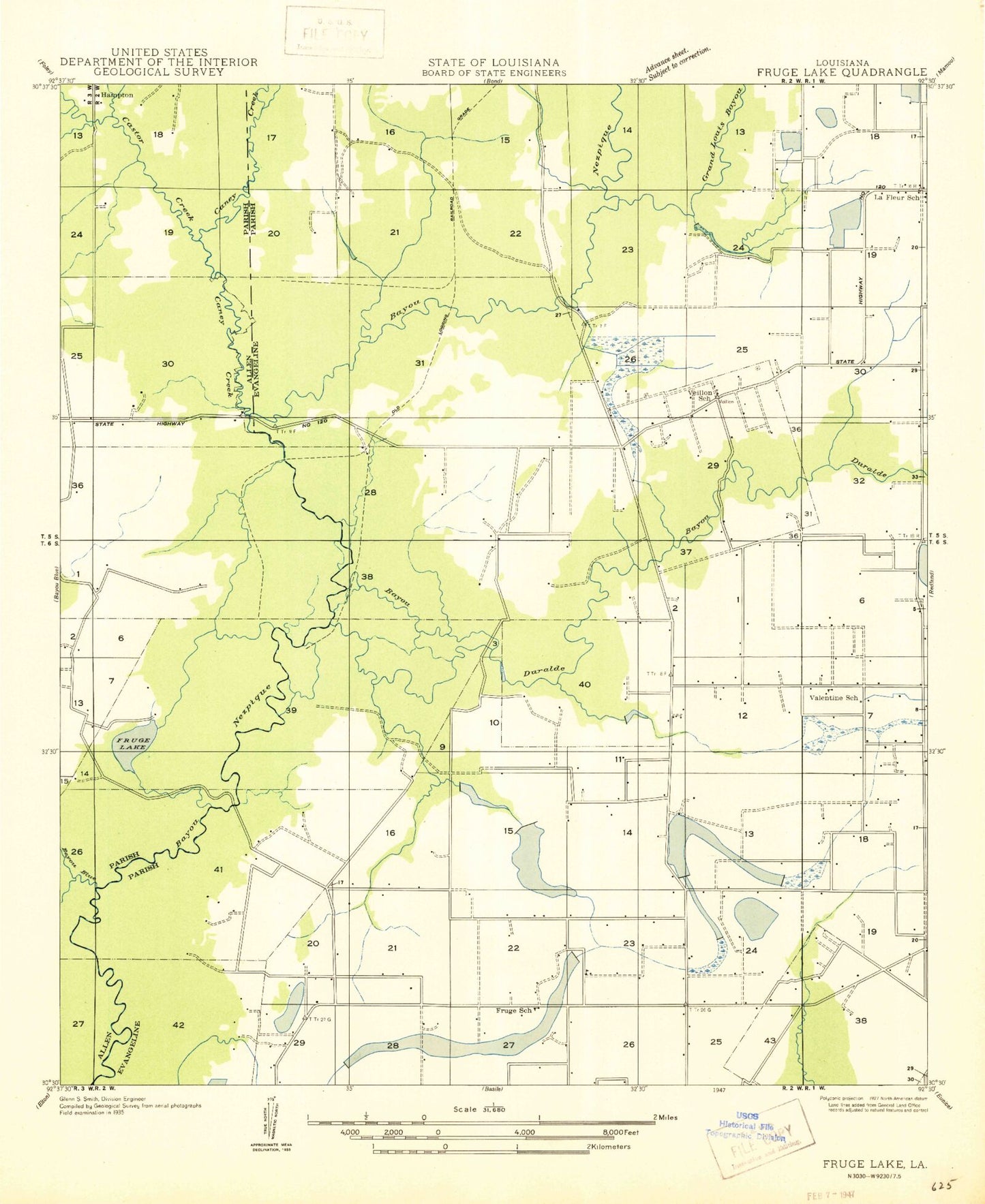
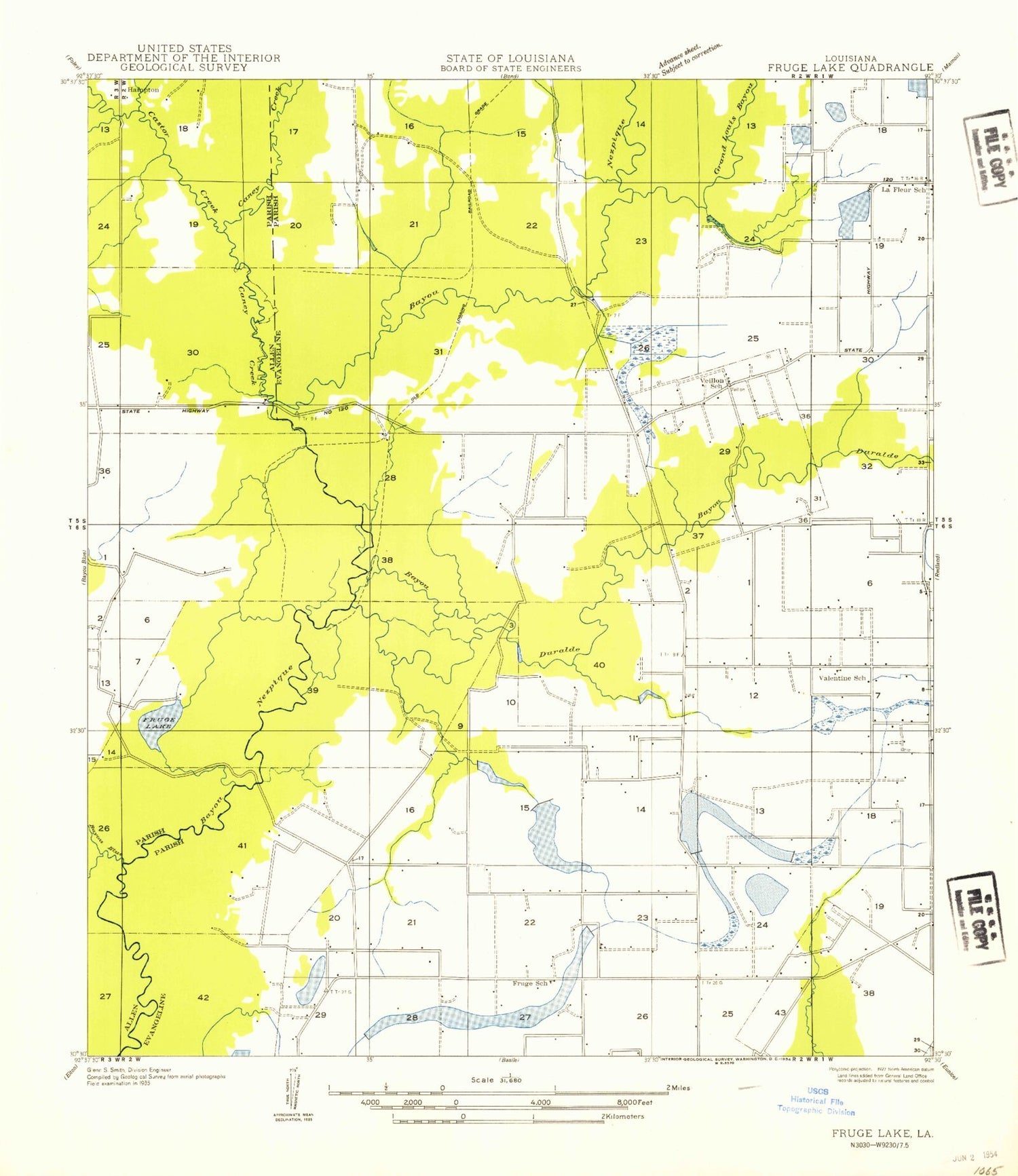
Historical USGS topographic quad map of Duralde in the state of Louisiana. Map scale may vary for some years, but is generally around 1:24,000. Print size is approximately 24" x 27"
This quadrangle is in the following counties: Allen, Evangeline.
The map contains contour lines, roads, rivers, towns, and lakes. Printed on high-quality waterproof paper with UV fade-resistant inks, and shipped rolled.
Contains the following named places: Acadia - Evangeline Fire Protection District Station 2, Annunciation Church, Bayou Blue, Bayou Duralde, Caney Creek, Castor Creek, Cezar Cemetery, Coulee Valentine, Duplechien Gully, Duralde, East Basile Oil and Gas Field, Fruge Lake, Grand Louis Bayou, Hampton, Mulberry Creek, North Basile Oil Field, Parish Governing Authority District 2, Veillon Cemetery, Ward Two, West Duralde Oil Field, West Fenris Gas Field