MyTopo
Classic USGS Duran NE New Mexico 7.5'x7.5' Topo Map
Regular price
$16.95
Regular price
Sale price
$16.95
Unit price
per
Couldn't load pickup availability
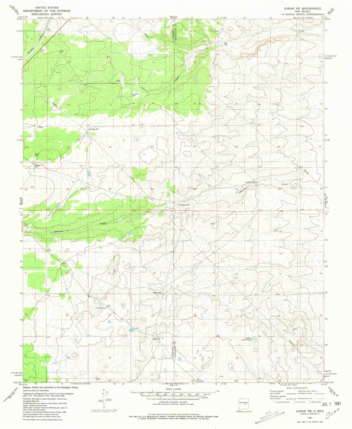
Historical USGS topographic quad map of Duran NE in the state of New Mexico. Map scale may vary for some years, but is generally around 1:24,000. Print size is approximately 24" x 27"
This quadrangle is in the following counties: Guadalupe, Torrance.
The map contains contour lines, roads, rivers, towns, and lakes. Printed on high-quality waterproof paper with UV fade-resistant inks, and shipped rolled.
Contains the following named places: Duran Old Church Cemetery, Espedion Well, Hindi Ranch, Indio Tank, Laguna de las Vacas, Marino Well, Middle Well, Rosendo Well, Savage Well, Tall Pine Draw, Twin Barn Well