MyTopo
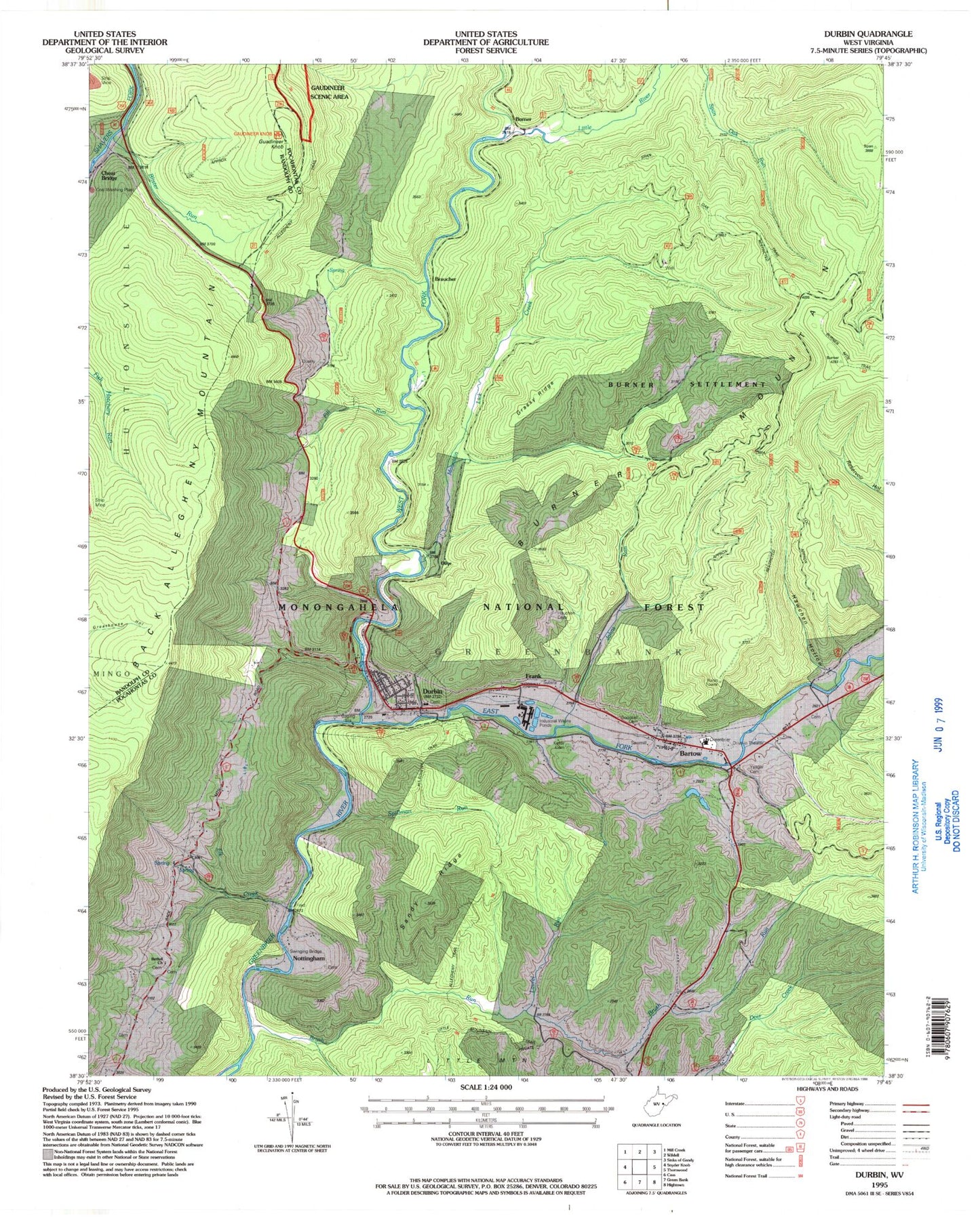
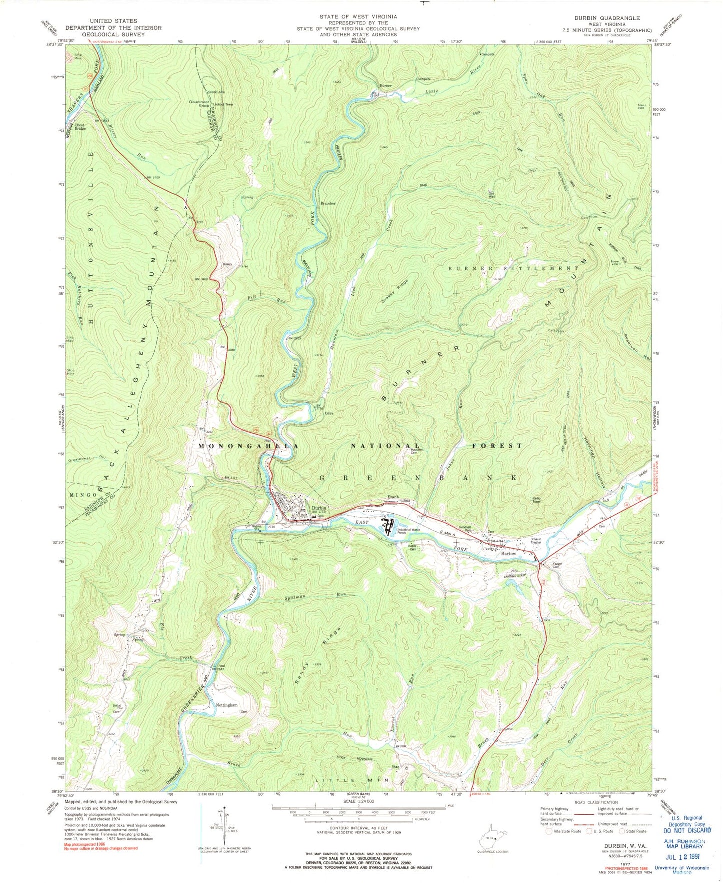
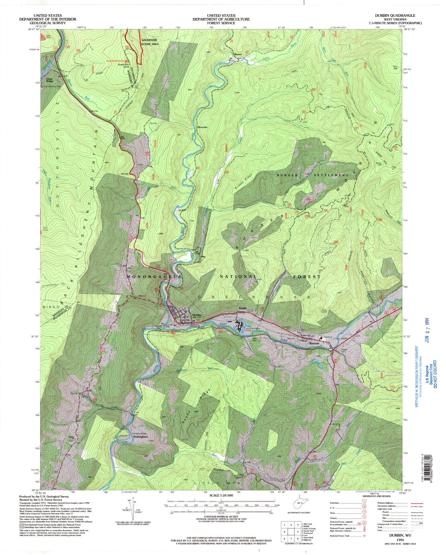
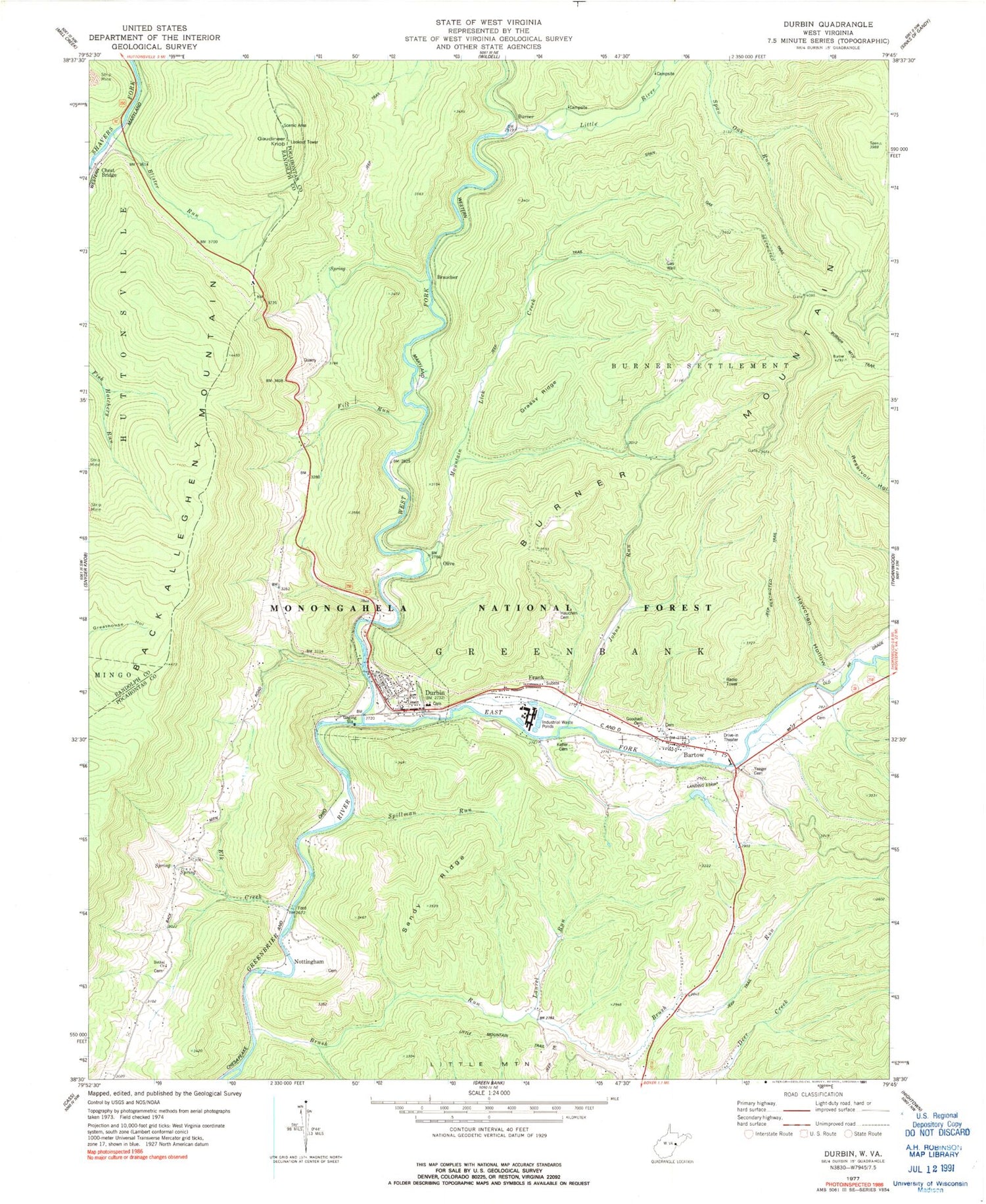
Classic USGS Durbin West Virginia 7.5'x7.5' Topo Map
Couldn't load pickup availability
Historical USGS topographic quad map of Durbin in the state of West Virginia. Typical map scale is 1:24,000, but may vary for certain years, if available. Print size: 24" x 27"
This quadrangle is in the following counties: Pocahontas, Randolph.
The map contains contour lines, roads, rivers, towns, and lakes. Printed on high-quality waterproof paper with UV fade-resistant inks, and shipped rolled.
Contains the following named places: Spillman Run, Bartow, Bethel United Methodist Church, Blister Run, Brush Run, Burner Mountain, Cheat Bridge, Durbin, East Fork Greenbrier River, Elk Creek, Fill Run, Goodsell Cemetery, Grassy Ridge, Hauchen Cemetery, Hawchen Hollow, Johns Run, Keller Cemetery, Laurel Run, Little River, Mountain Lick Creek, Sandy Ridge, Span Oak Trail, West Fork Greenbrier River, Yeager Cemetery, Greenbrier District Ranger Station, Braucher, Burner, Frank, Gaudineer Knob, Nottingham, Olive, Cool Spring, Durbin Water Spring, Early Spring, Gaudineer Knob Recreation Site, Coopers Rock Water Supply Dam, Lake Buffalo Dam, Lake Buffalo, Burns Lower Farm Lake Dam, Bartow Post Office, Bethel Methodist Church Cemetery, Brush Run School (historical), Camp Bartow (historical), Cherry Grove School (historical), Durbin Grade School (historical), Durbin Post Office, Fill Run School (historical), Frank African Methodist Episcopal Church, Gaudineer Knob Lookout Tower, Grassy Ridge School (historical), Hoover School (historical), Saint Mark Cemetery, Saint Mark the Evangelist Catholic Church, Travellers Repose, Travellers Repose Methodist Church (historical), Greenbank District, Little River Wildlife Management Area, Town of Durbin, Bartow - Frank - Durbin Fire and Rescue 1, Bartow Census Designated Place, Frank Census Designated Place, Mabel Burner Memorial Bridge, Tannery Truss Bridge, Durbin Public Library


