MyTopo
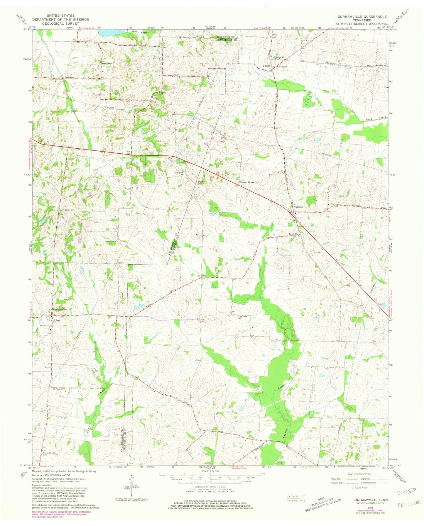
Classic USGS Durhamville Tennessee 7.5'x7.5' Topo Map
Couldn't load pickup availability
Historical USGS topographic quad map of Durhamville in the state of Tennessee. Map scale may vary for some years, but is generally around 1:24,000. Print size is approximately 24" x 27"
This quadrangle is in the following counties: Haywood, Lauderdale.
The map contains contour lines, roads, rivers, towns, and lakes. Printed on high-quality waterproof paper with UV fade-resistant inks, and shipped rolled.
Contains the following named places: Brownsville - Haywood County Fire Department District 9, Cane Creek Dam Number Fifteen, Cane Creek Lake Number Fifteen, Commissioner District 10, Commissioner District 2, Conner Church, Conners School, Cox Store, Currins School, Doctor Robert Anthony Dam, Doctor Robert Anthony Lake, Doris Irvin Dam, Doris Irvin Lake, Durham Cemetery, Durhamville, Durhamville Baptist Church, Durhamville School, Edward Grove, Edward Grove School, Elam Church, Flag Grove School, Greater Zion Church, Holmes Cemetery, Maranatha Church, Marys Chapel, Neboth Church, Nutbush, Nutbush Division, Nutbush Post Office, Nutbush School, Saint Luke Church, Saint Lukes School, Saint Pauls Cemetery, Saint Pauls Church, Saint Peters Cemetery, Spring Hill Cemetery, Spring Hill Church, Toulon, Toulon Post Office, Trinity Cemetery, Trinity Church


