MyTopo
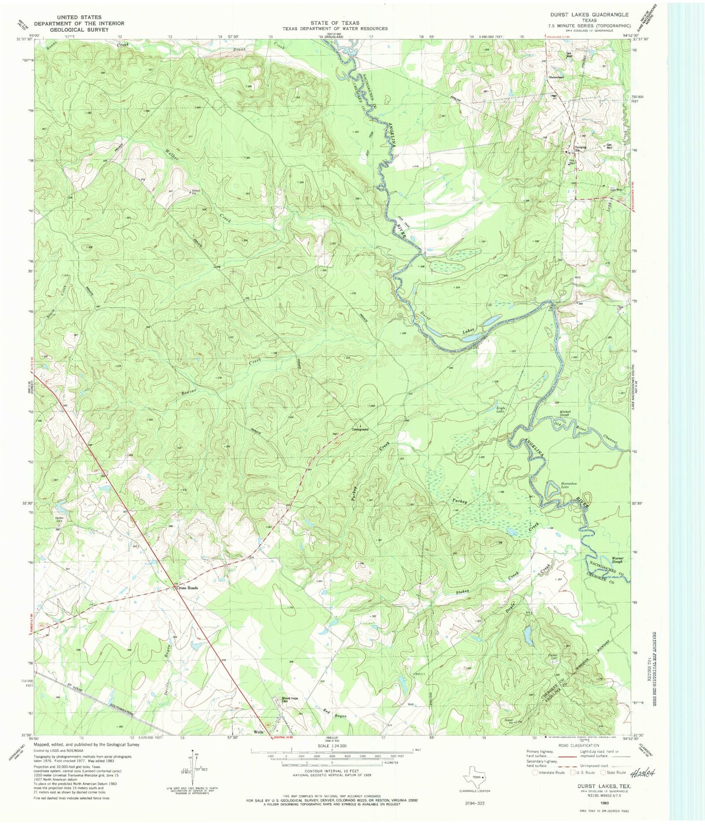
Classic USGS Durst Lakes Texas 7.5'x7.5' Topo Map
Couldn't load pickup availability
Historical USGS topographic quad map of Durst Lakes in the state of Texas. Map scale may vary for some years, but is generally around 1:24,000. Print size is approximately 24" x 27"
This quadrangle is in the following counties: Angelina, Cherokee, Nacogdoches.
The map contains contour lines, roads, rivers, towns, and lakes. Printed on high-quality waterproof paper with UV fade-resistant inks, and shipped rolled.
Contains the following named places: Beans Creek, Beaver Creek, Cross Roads, Doyle Creek, Durst Lakes, Eagle Lake, Hester Cemetery, Horseshoe Lake, Kateschapel, King Creek, Legg Creek, Mill Creek, Mitchell Slough, Mount Hope Cemetery, Parkes Cemetery, Stokes Creek, Turkey Creek, Walker Creek, Warner Slough, ZIP Code: 75976