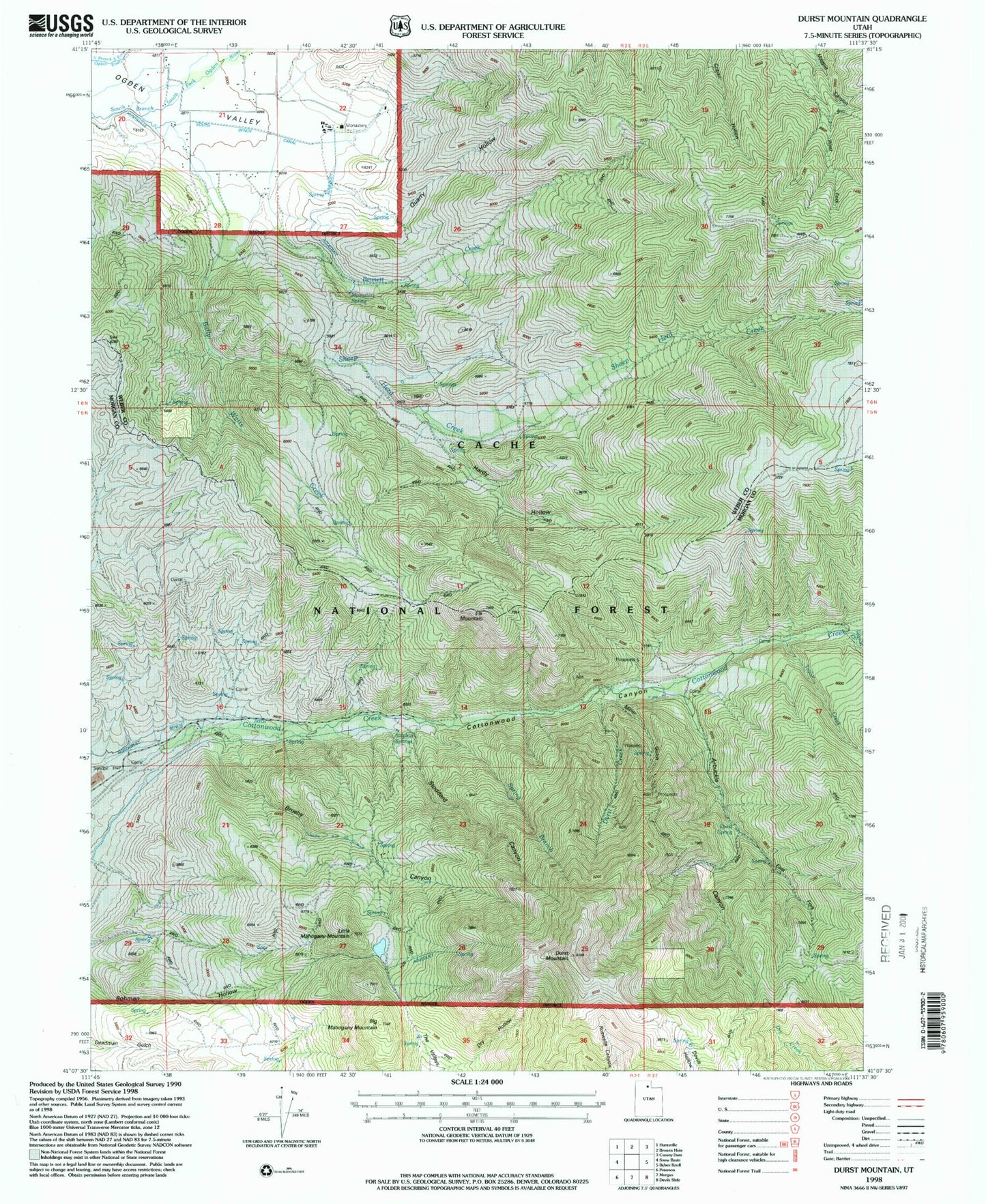
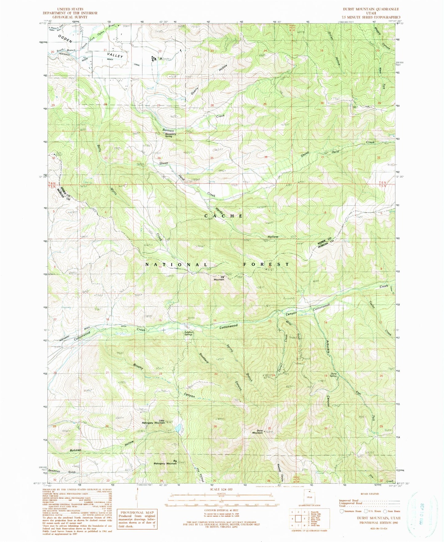
MyTopo
Classic USGS Durst Mountain Utah 7.5'x7.5' Topo Map
Couldn't load pickup availability
Historical USGS topographic quad map of Durst Mountain in the state of Utah. Map scale may vary for some years, but is generally around 1:24,000. Print size is approximately 24" x 27"
This quadrangle is in the following counties: Morgan, Weber.
The map contains contour lines, roads, rivers, towns, and lakes. Printed on high-quality waterproof paper with UV fade-resistant inks, and shipped rolled.
Contains the following named places: Abbey of the Holy Trinity Cemetery, Arbuckle Canyon, Bally Watts Creek, Bennett Creek, Big Mahogany Mountain, Brushy Canyon, Cottonwood Canyon, Durst Creek, Durst Mountain, Durst Spring, Elk Mountain, Hardy Hollow, Layton Creek, Little Mahogany Mountain, Miller Gulch, Monastery Spring, Quarry Hollow, Sheep Herd Creek, Spring Branch, Stoddard Canyon, Sulphur Springs, Taylor Creek, West Fork Magpie Canyon