MyTopo
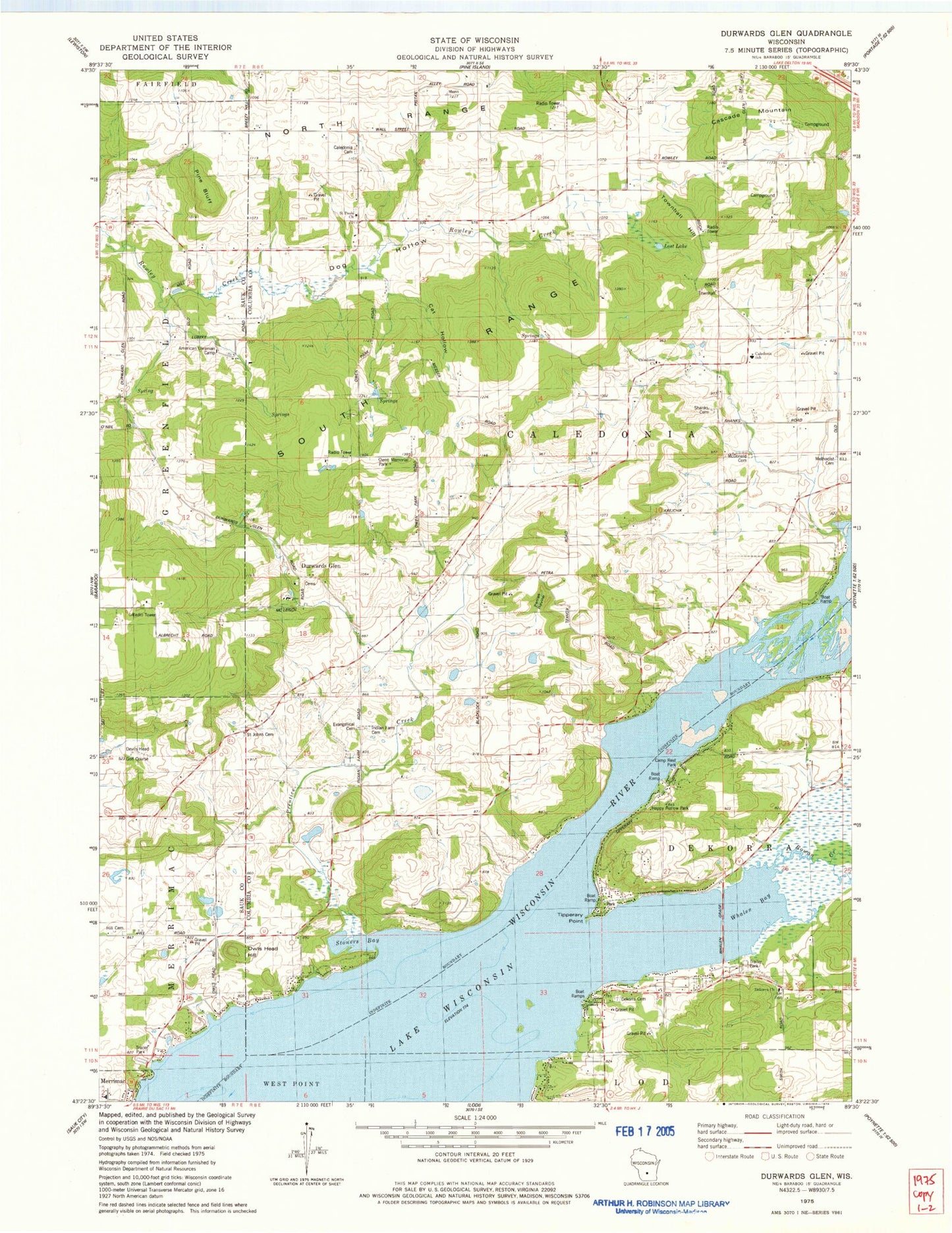
Classic USGS Durwards Glen Wisconsin 7.5'x7.5' Topo Map
Couldn't load pickup availability
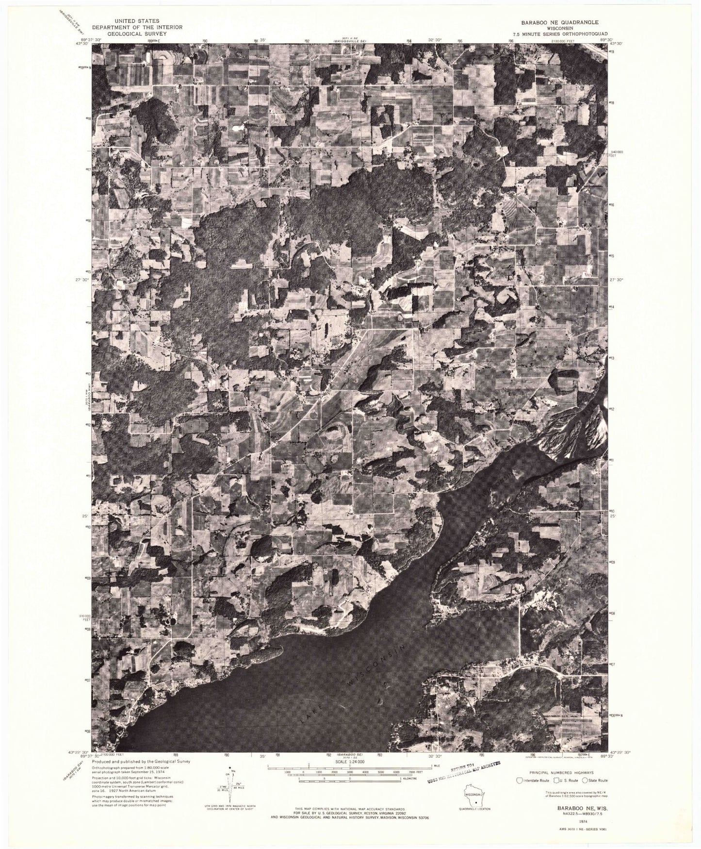
Historical USGS topographic quad map of Durwards Glen in the state of Wisconsin. Map scale may vary for some years, but is generally around 1:24,000. Print size is approximately 24" x 27"
This quadrangle is in the following counties: Columbia, Sauk.
The map contains contour lines, roads, rivers, towns, and lakes. Printed on high-quality waterproof paper with UV fade-resistant inks, and shipped rolled.
Contains the following named places: Alloa School, American Ukranian Camp, Caledonia Church, Caledonia Elementary School, Caledonia German Methodist Cemetery, Camp Rest Park, Cascade Mountain, Cat Hollow, Dekorra Church, Dekorra Lutheran Cemetery, Devils Head Golf Course, Dog Hollow, Dog Hollow School, Durwards Glen, Durwards Glen School, Evangelical Cemetery, Happy Hollow Park, Hill Cemetery, Ikey School, Indian Farm Cemetery, Indian Farm School, Lincoln School, Little Church, Lost Lake, Lost Lake State Natural Area, McDonald Cemetery, Merrimac Community Charter School, Methodist Cemetery, Owen Memorial Park, Owls Head Hill, Petras Ravine, Pine Bluff, Prentice Creek, Rowan Creek, Saint Camillus Cemetery, Saint Johns Cemetery, Saint Paul Evangelical Lutheran Cemetery, Saint Pauls Church, Shanks Cemetery, Stoners Bay, Tipperary Point, Town of Caledonia, Townhall Hill, Whalen Bay