MyTopo
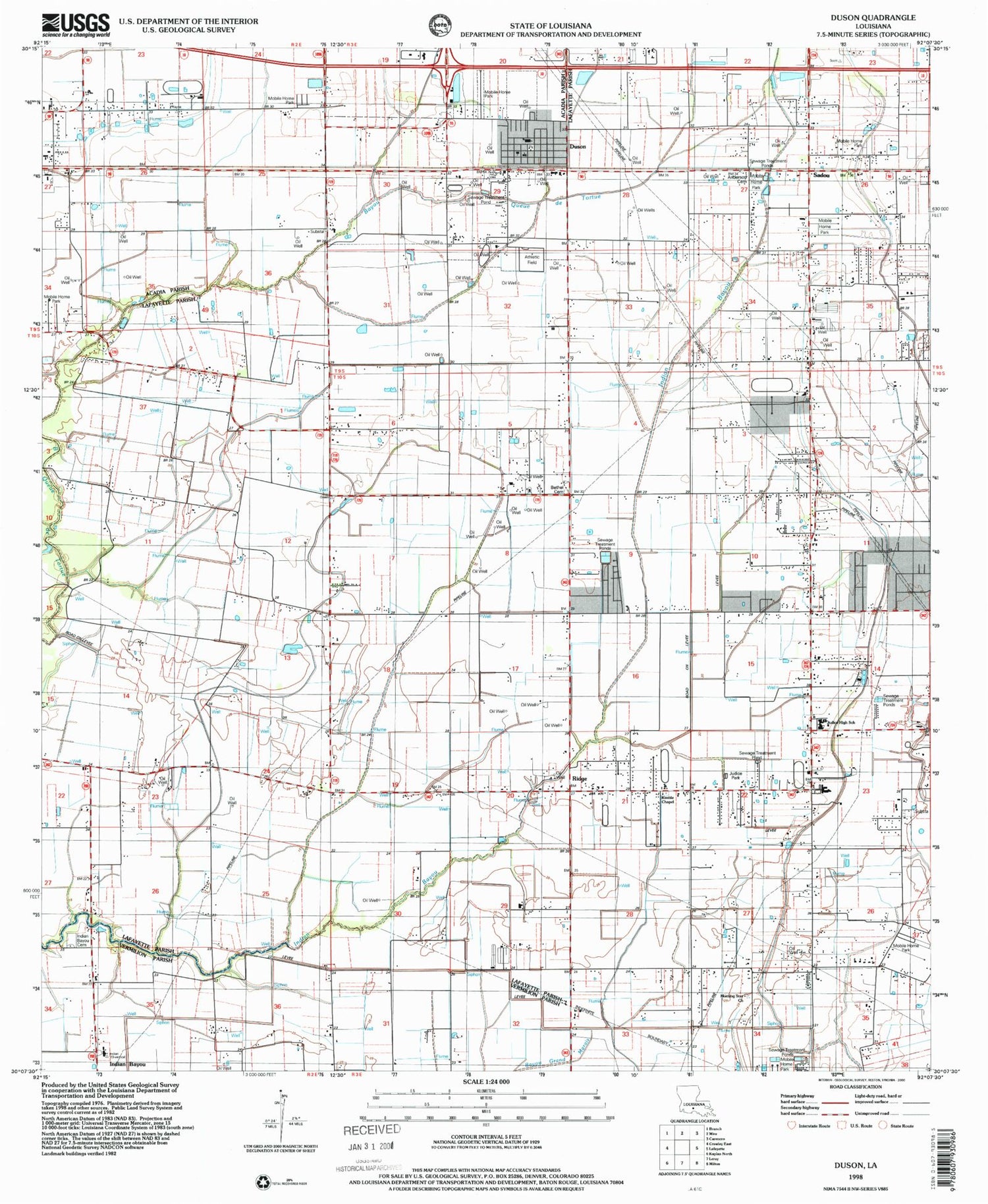
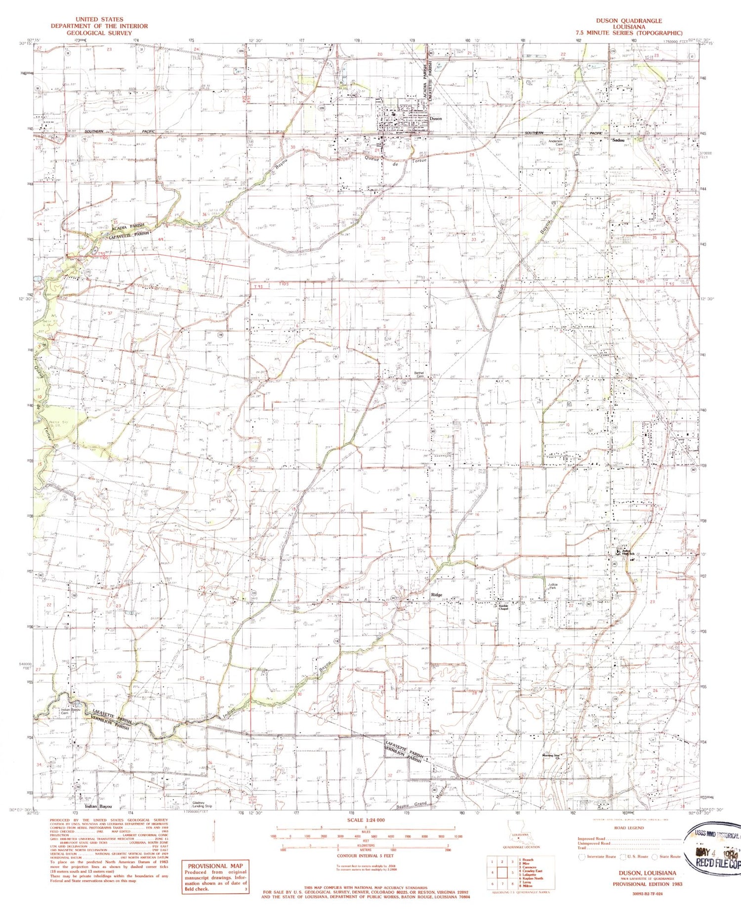
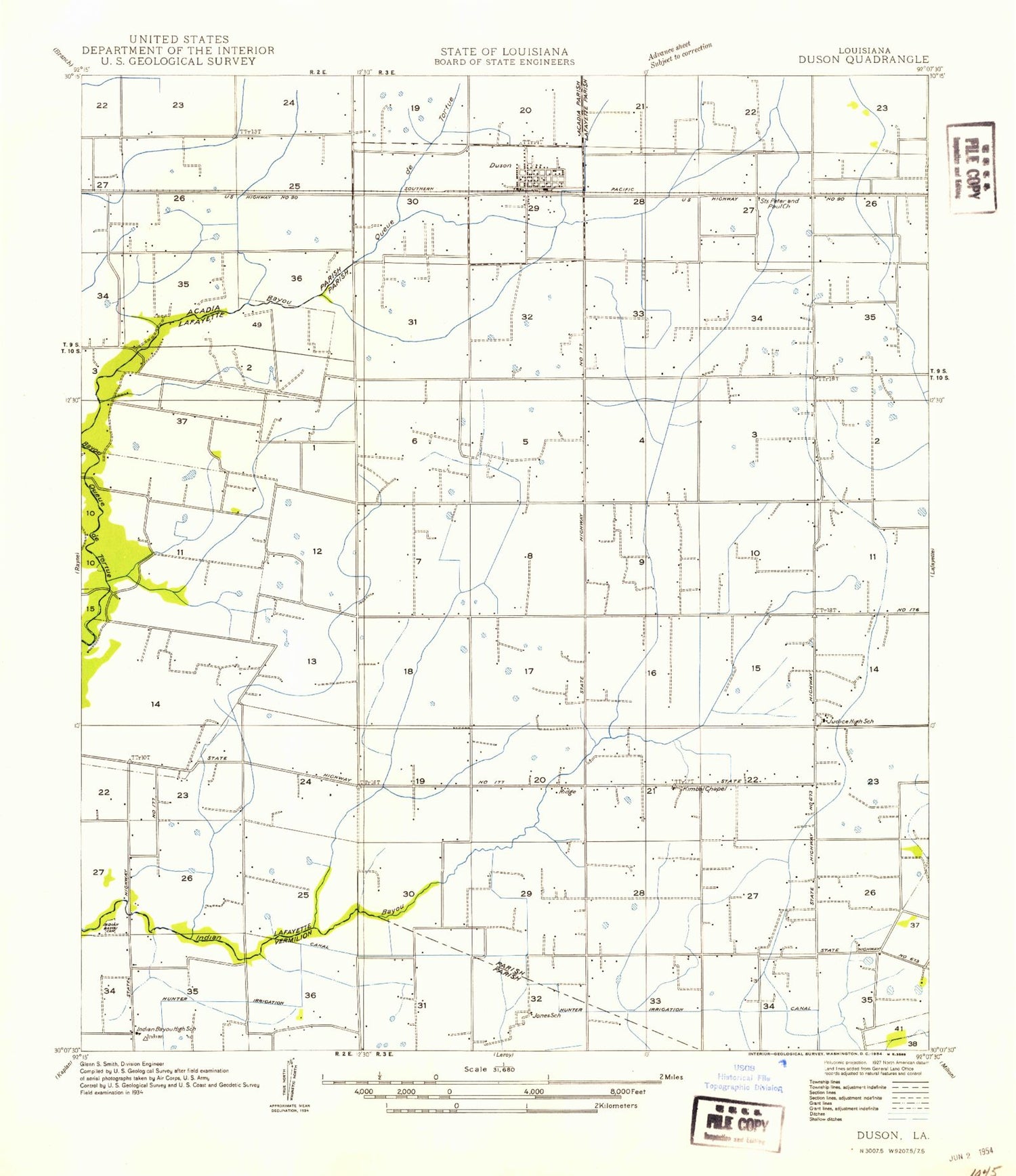
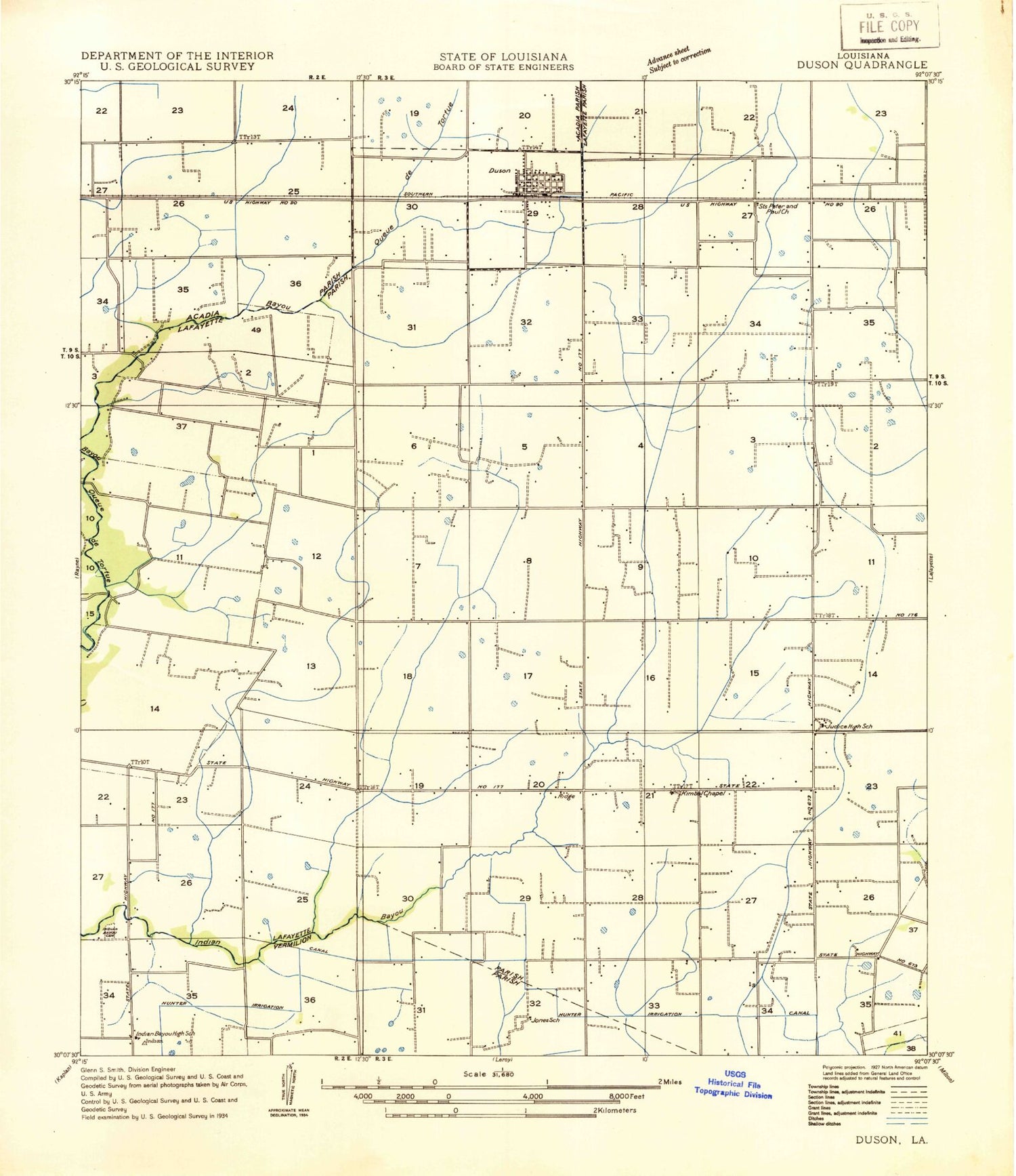
Classic USGS Duson Louisiana 7.5'x7.5' Topo Map
Couldn't load pickup availability
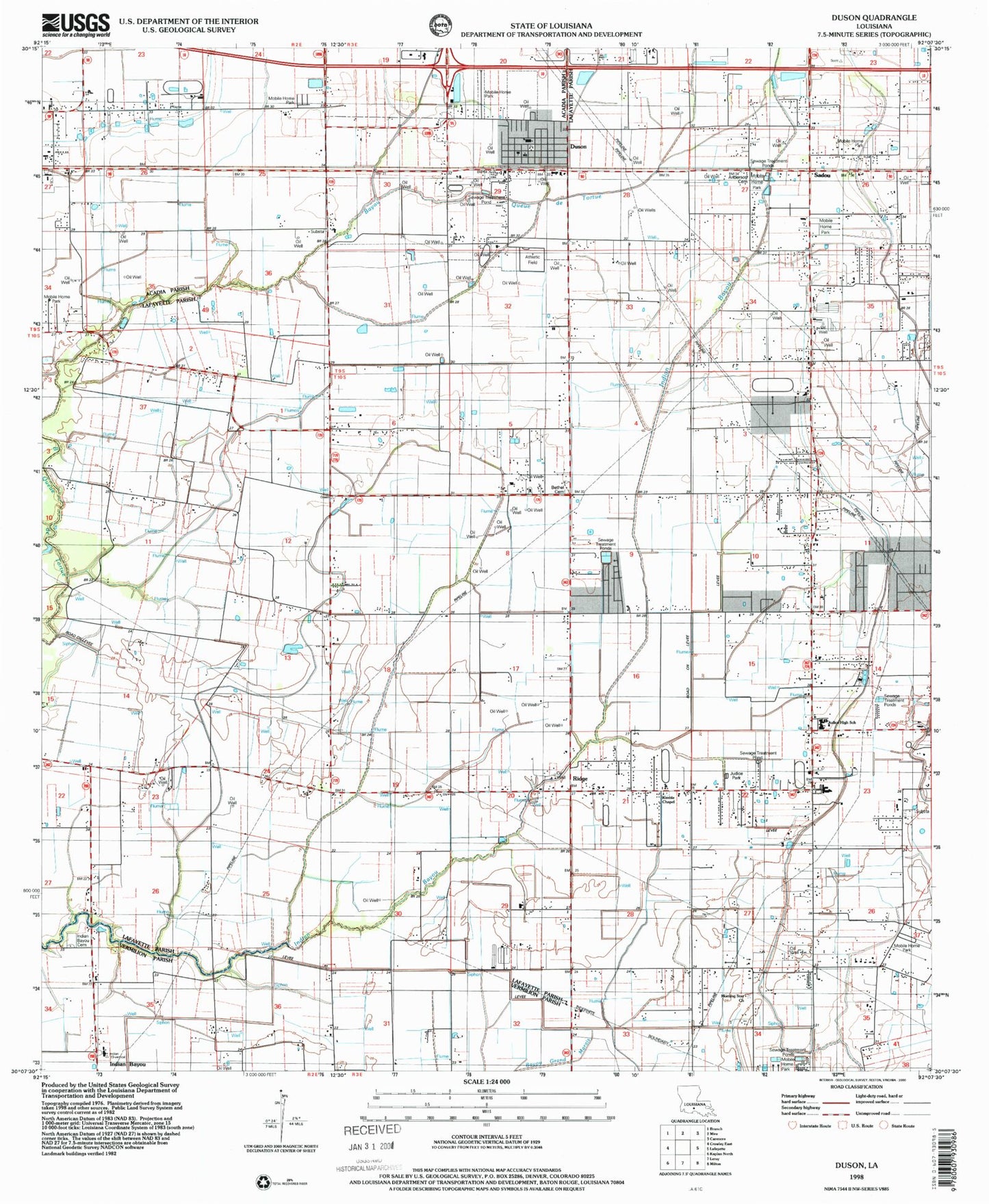
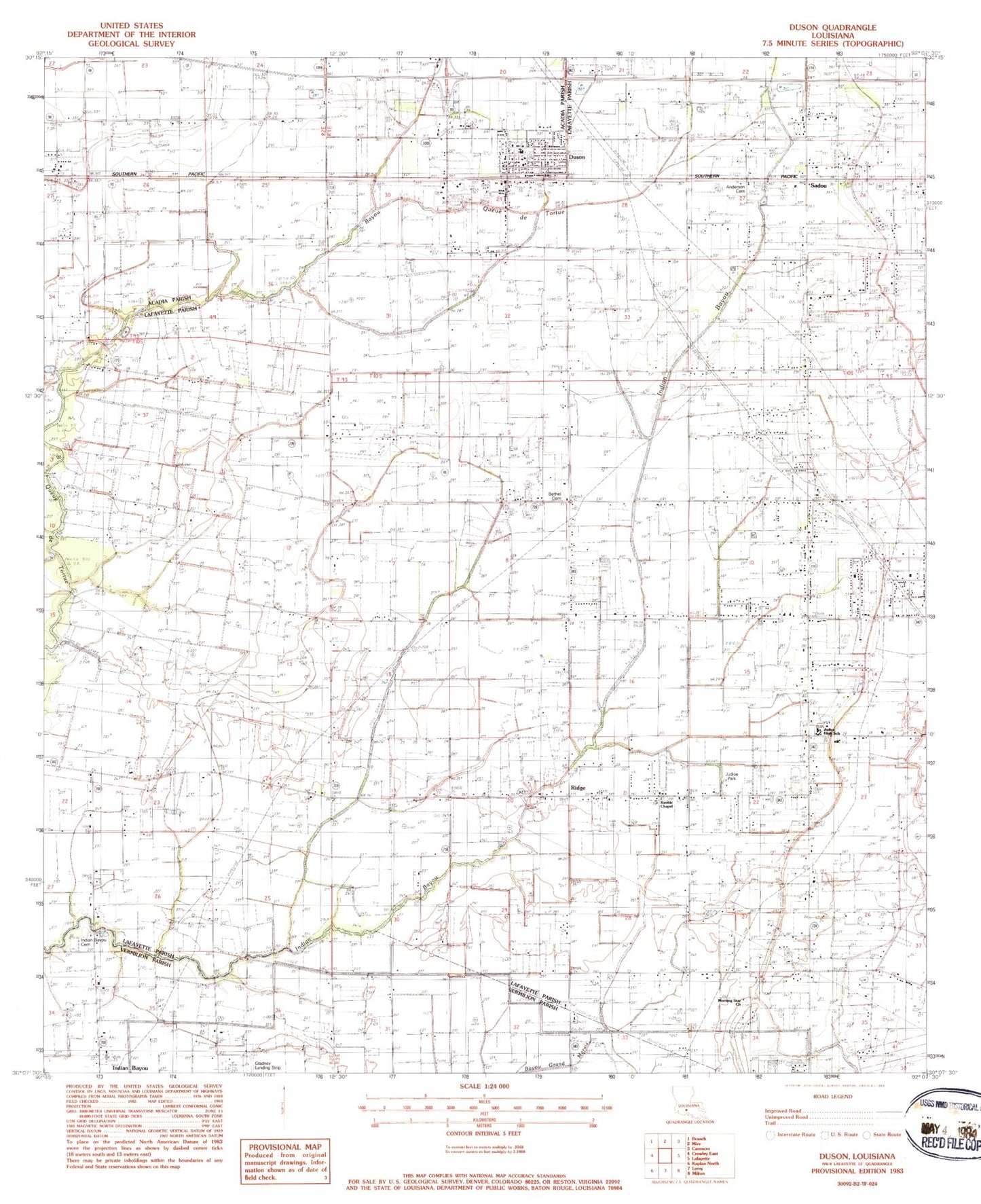
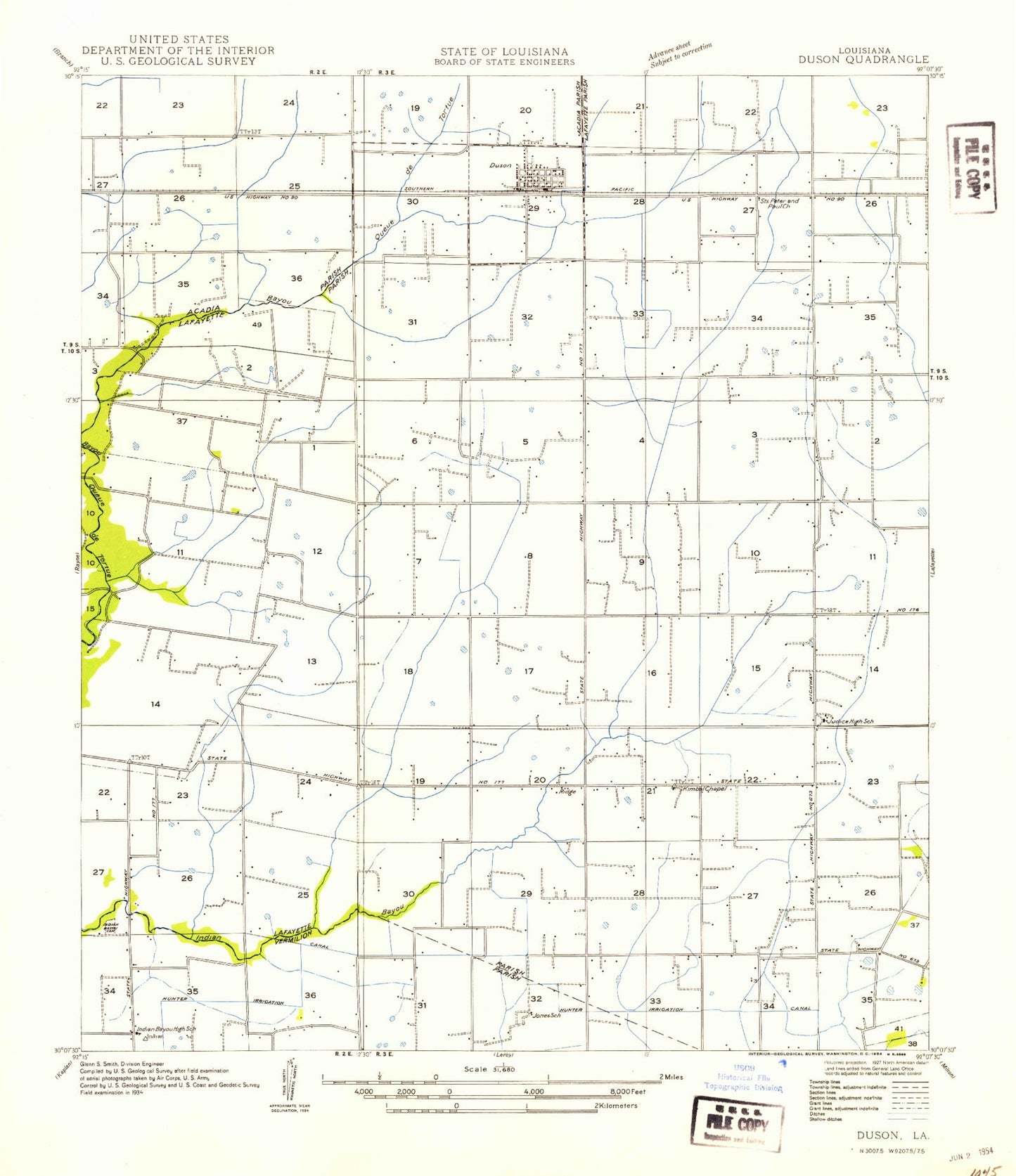
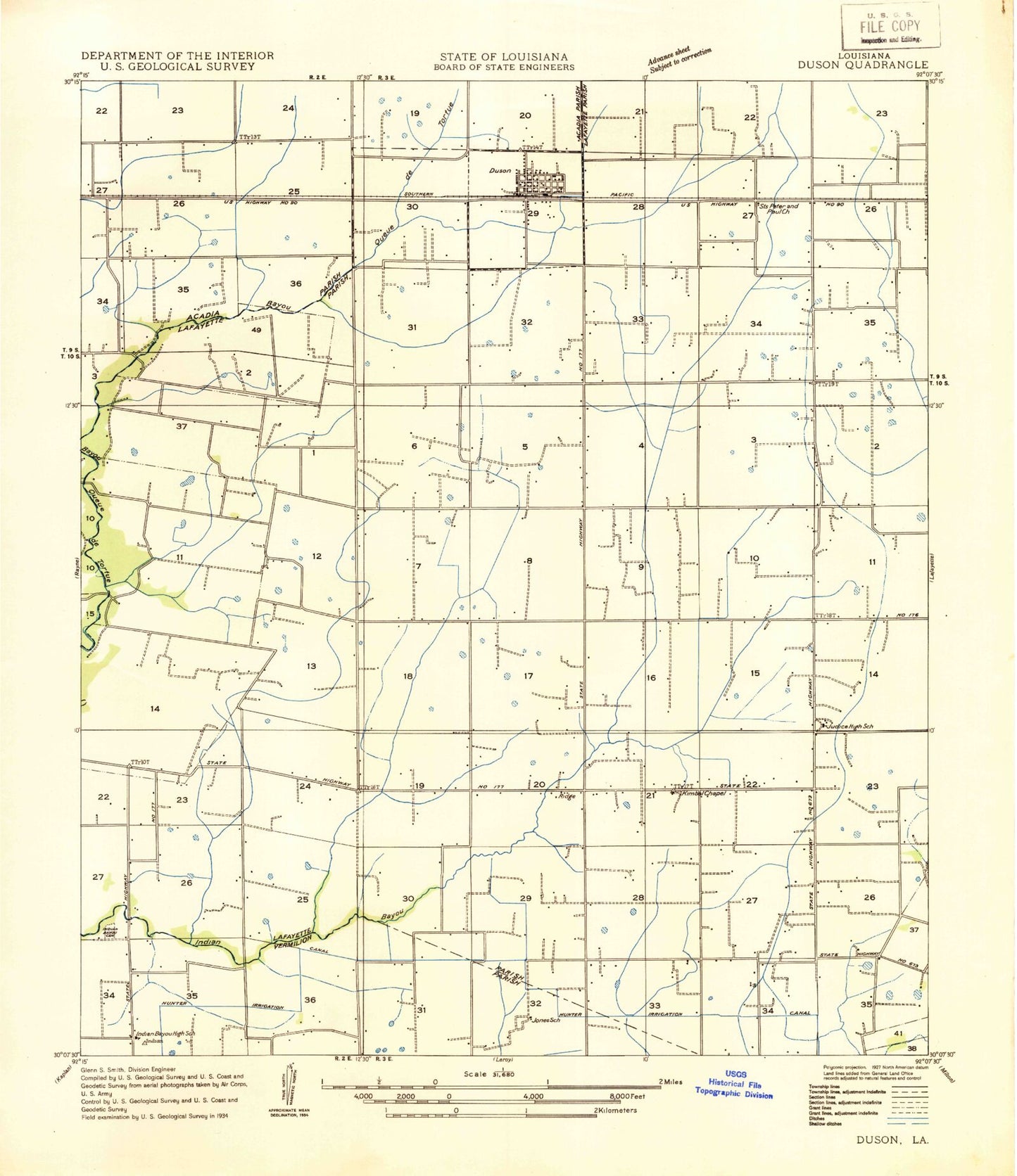
Historical USGS topographic quad map of Duson in the state of Louisiana. Map scale may vary for some years, but is generally around 1:24,000. Print size is approximately 24" x 27"
This quadrangle is in the following counties: Acadia, Lafayette, Vermilion.
The map contains contour lines, roads, rivers, towns, and lakes. Printed on high-quality waterproof paper with UV fade-resistant inks, and shipped rolled.
Contains the following named places: Anderson Cemetery, Bethel Cemetery, Bethel Church, Bonnin School, Burke School, Charles M Burke Elementary School, Clifton Mobile Home Park, Country Air Mobile Home Park, Duson, Duson Elementary School, Duson Oil and Gas Field, Duson Police Department, Duson Post Office, Duson Volunteer Fire Department Station 1, Duson Volunteer Fire Department Station 2, Duson Wastewater Treatment Facility, Freebird Field, Gladney Airport, Glenn's Strip Ultralight Flightpark, Indian Bayou, Indian Bayou Elementary School, Indian Bayou High School, Indian Bayou Methodist Cemetery, Indian Bayou United Methodist Church, Indian Cemetery, Indice High School, J and J Mobile Home Park, Judice, Judice Middle School, Judice Park, Judice Volunteer Fire Department, Kimball Chapel Methodist Church, Kingdom Hall of Jehovahs Witnesses, KRRQ-FM (Lafayette), Lafayette Parish Library Duson Branch, Morning Star Church, Parish Governing Authority District B, Pecan Acres Mobile Home Park, Phoenix Airport, Quiet Living Mobile Home Park, Ridge, Ridge Elementary School, Ridge Post Office, Royal Mobile Home Park, Sadou, Saint Basil Catholic Church, Saint Benedict the Moor Church, Saint Theresas Church, Scott Oil and Gas Field, Smiling C Mobile Home Park, Southeast Rayne Gas Field, Southwest Ridge Gas Field, Thibodeaux Mobile Home Park, Town of Duson, Townsite Gas Field, West Ridge Oil and Gas Field, ZIP Code: 70529
