MyTopo
Classic USGS Dustin Nebraska 7.5'x7.5' Topo Map
Couldn't load pickup availability
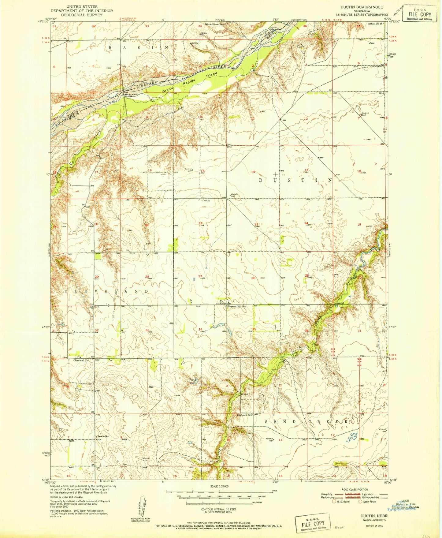
Historical USGS topographic quad map of Dustin in the state of Nebraska. Map scale may vary for some years, but is generally around 1:24,000. Print size is approximately 24" x 27"
This quadrangle is in the following counties: Boyd, Holt.
The map contains contour lines, roads, rivers, towns, and lakes. Printed on high-quality waterproof paper with UV fade-resistant inks, and shipped rolled.
Contains the following named places: Allyn Dam, Allyn Reservoir, Beaver Creek, Brodie School, Cleveland, Cleveland Cemetery, Cleveland Church, Cleveland Post Office, Dustin, Dustin Post Office, Dustin Public School, Grand Rapids Bridge, Grand Rapids Island, Highland School, Pleasant Hill School, School Number 18, Smith Dam Number 1, Smith Reservoir Number 1, Weller Dam, Weller Reservoir, White House Ranch