MyTopo
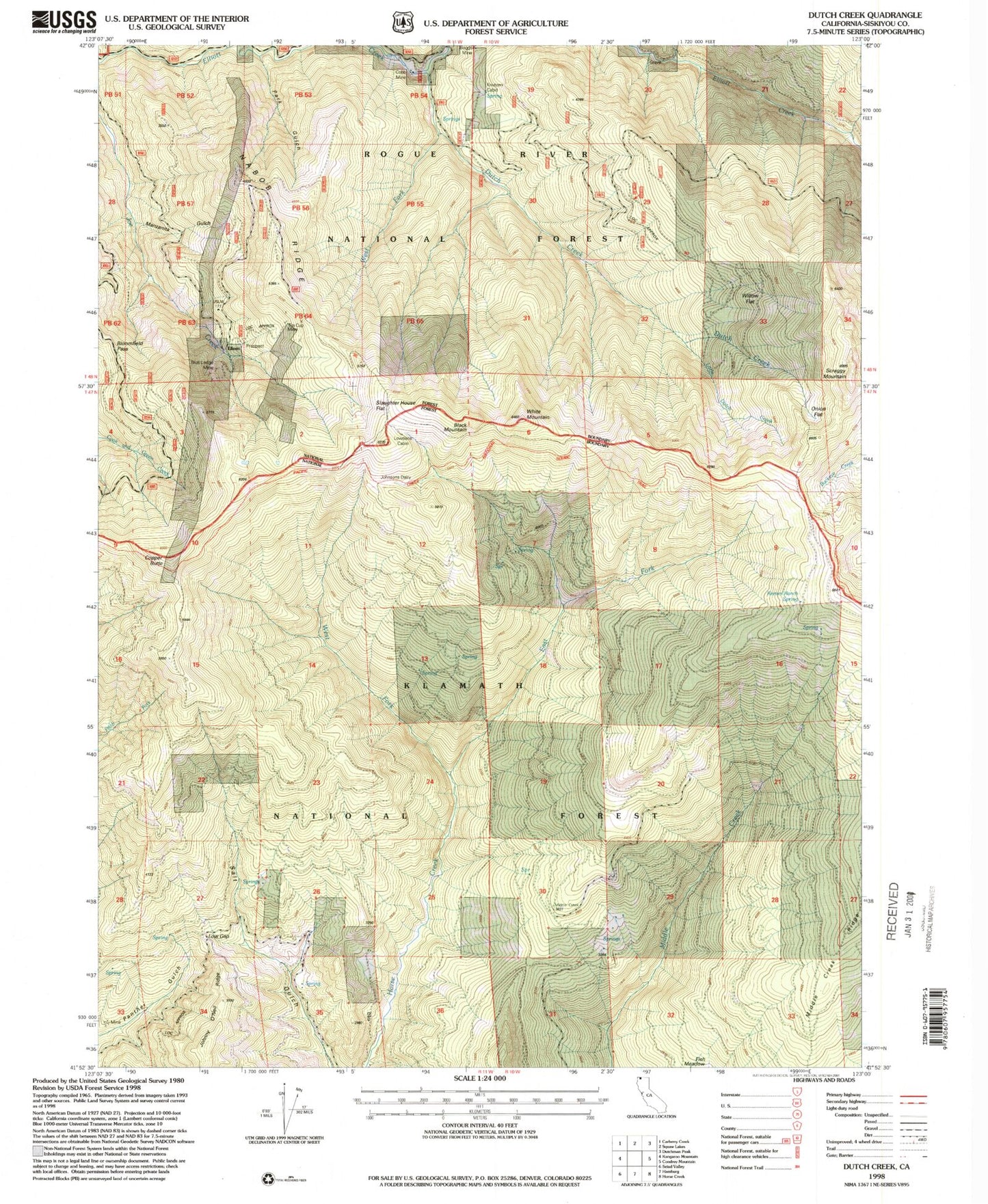
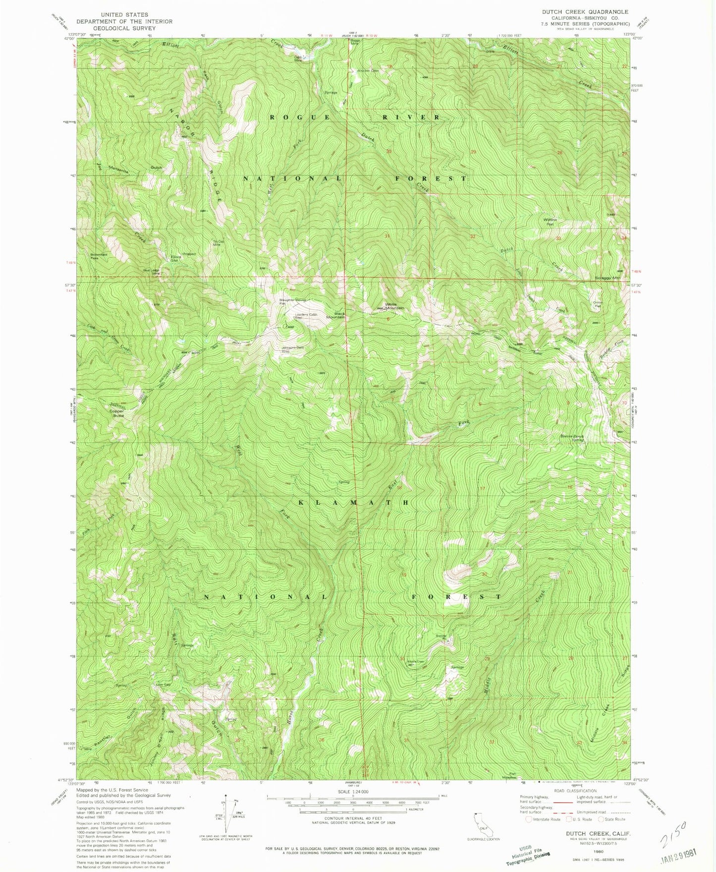
Classic USGS Dutch Creek California 7.5'x7.5' Topo Map
Couldn't load pickup availability
Historical USGS topographic quad map of Dutch Creek in the state of California. Map scale may vary for some years, but is generally around 1:24,000. Print size is approximately 24" x 27"
This quadrangle is in the following counties: Siskiyou.
The map contains contour lines, roads, rivers, towns, and lakes. Printed on high-quality waterproof paper with UV fade-resistant inks, and shipped rolled.
Contains the following named places: Black Mountain, Bloomfield Pass, Blue Ledge Mine, Boggs Mine, City Gulch, Cobb Mine, Copper Butte, Dutch Creek, East Fork Horse Creek, Eileen, Johnson Dairy, Knutzen Cabin, Little Dutch Creek, Lowdens Cabin, Manzanita Gulch, Morgan Ranch, Nabob Ridge, Onion Flat, Park Gulch, Reeves Ranch Springs, Scraggy Mountain, Seiad Low Gap, Selby Cabin, Sheep Camp, Slaughter House Flat, Stein Gulch, Tin Cup Mine, West Fork Dutch Creek, West Fork Horse Creek, White Mountain, Willow Flat